


Two-Lakes Tour
Description
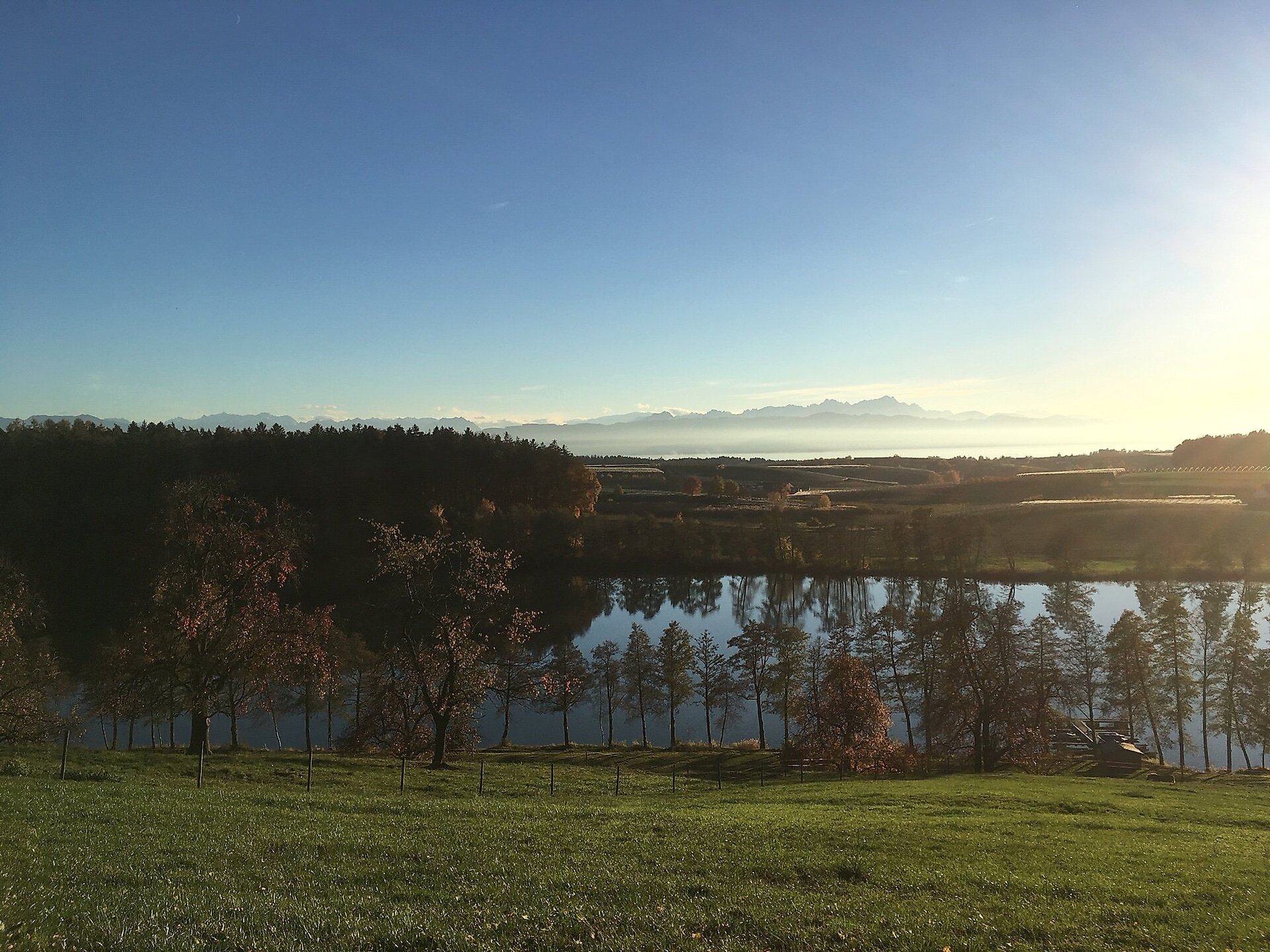
A varied loop hike with beautiful views of the surrounding countryside, including Lake Degersee and Lake Schleinsee
Summary
A varied loop hike with beautiful views of the surrounding countryside, including Lake Degersee and Lake Schleinsee
Description
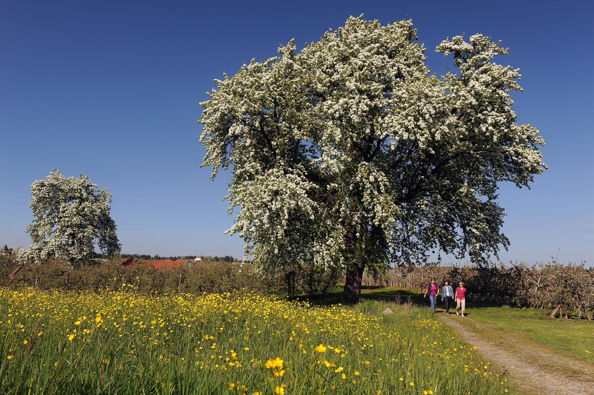
A very varied route through the “hinterland” from Nonnenhorn to the beautiful Degersee and Schleinsee lakes awaits you, offering stunning panoramic views.
You’ll pass through the villages of Selmnau, Poppis, Riedensweiler, Wettis, Busenhaus, Nitzenweiler, Gattnau, and Retterschen.
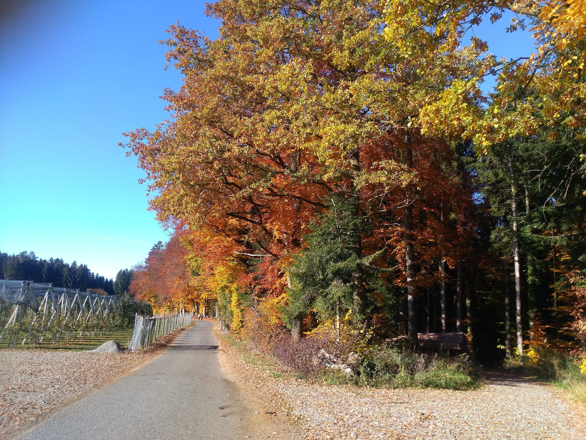
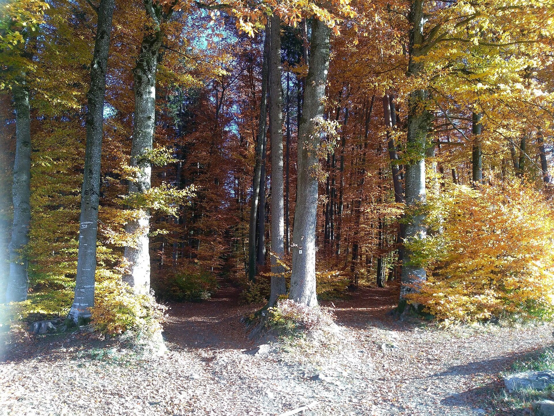
Parts of the route follow small roads, and often also lead along dirt paths, forest trails, and meadow paths (be sure to wear sturdy shoes).
There are numerous places to stop for refreshments, but during the off-season, be sure to check the establishments’ opening hours!
In addition to the two lakes, points of interest along the route include the St. Anthony Chapel, the Chapel of the Assumption of Mary at the Schleinsee estate, and the herb garden at Nunzenberg.
Since the loop is about 19 km long, some physical fitness is required, though there are only gentle inclines to navigate.
Tip
Bring your swimwear in the summer and take a refreshing break at the Degersee beach!
The Schleinsee, on the other hand, is privately owned, and swimming is prohibited there.
Directions
Starting point: Nonnenhorn Train Station: At the Torkel, walk straight ahead onto Forstgartenweg, turn right—across the tracks—and continue along Mauthausstraße through the underpass of the county road toward Hattnau. After about 200 m, turn right onto the dirt road and continue straight ahead to Reutele, a beautiful viewpoint overlooking Nonnenhorn and the lake. At the Edelweiß Inn, keep left toward Hege (you’ll pass the Bauerncafe), and at the second turn, turn right and then immediately left through the Eichholz forest toward Hattnau. Pass the fountain and continue straight ahead on the dirt road toward Selmnau; there, keep slightly to the left and head up the small incline to Antoniusberg. Be sure to take a detour to the right there to visit the chapel, which offers a beautiful view, a panoramic sign, and places to sit.
On the way back, head straight down the field/meadow path, but don’t follow the curve—instead, at the “insect hotel,” go straight ahead along the path through the orchards. After about 150 m, turn onto the forest path toward Poppis/Gattnau. On the forest path, after about 100 m, turn left onto the small footpath through the woods, cross the bridge, and walk up the meadow a short distance. Then turn left along the meadow path, and immediately right again. You’ll reach a paved path; at the small intersection, take the path to the right toward Poppis. . There, at the county road, turn right and, immediately after the underpass, turn left again and head up the path (past the “hail cannon”). Follow the road toward Nitzenweiler/Schleinsee, then turn right onto the dirt road (sign for “Jubiläumsweg Bodenseekreis” on the tree..). At the next fork, turn right and follow the path toward Degersee/Wettis. As you enter the forest, take the second path on the left (keep going straight). After leaving the forest, take the road toward Wettis-Weiler Degersee (on the right). At the large signpost, turn left and follow the yellow sign (marked with a yellow diamond on a white background) toward Weiler Degersee...Schleinsee... After exiting the forest, turn left and then immediately left again (toward Degersee, Schleinsee). After a few meters, turn left again toward Kressbronn/Wielandsweiler. You’ll pass the Degerseestüble (a place to stop for refreshments) and the beach (a place to swim). You’ll now reach Busenhaus; at the intersection, turn left and then immediately right onto the forest trail (blue markings) toward Schleinsee (Nitzenweiler). You’ll pass a beautiful viewpoint on your way to the Schleinsee farmstead (place to stop for refreshments). At the next intersection, turn left first, then immediately right onto the dirt road. You’ll return to the road via a small flight of stairs and walk past the hiker’s parking lot and the corn maze (a great tip for kids in the summer!) straight ahead up the forest path. At the next signpost, your destination is Gattnau. Walk a short distance along the B31, through the underpass, then turn left and immediately right. Take the small path straight down (marked with a scallop shell). In Gattnau, walk a short distance along the main street and then either take the first left immediately past the Forst Inn toward Obermühle (shortcut) or—according to the route map—take the second left toward Nunzenberg. After a few meters, turn sharply left onto Nunzenbergweg and then immediately left again. You’ll pass a beautiful lookout point and a medicinal herb garden. Continue straight ahead (across the street) onto the dirt road toward Obermühle. Follow the road and continue straight on toward Retterschen. There, keep to the right and (following the curve) turn left toward Sonnenhorf. Pass the Hotel Sonnenhof on your right, then continue straight down the path through the small underpass. Immediately afterward, turn left onto the dirt road and return to the starting point via Mauthausstraße and Forstgartenweg.
Destination
Equipment
In wet weather, sturdy shoes are recommended, as the route often follows forest and field trails.
Parking
Free at the train station
Public Transportation
Nonnenhorn is easily accessible by train from Friedrichshafen or Lindau
Starting Point
Walk-in months
- January
- February
- March
- April
- May
- June
- July
- August
- September
- October
- November
- December
Requirements
- Condition 4 detail.requirements.value
- Experience 5 detail.requirements.value
- Landscape 5 detail.requirements.value
- Technique 2 detail.requirements.value
- Difficulty 1 detail.requirements.value
Details
- Spring
- Summer
- Fall
- Winter