


Teuringertal railway path
Description
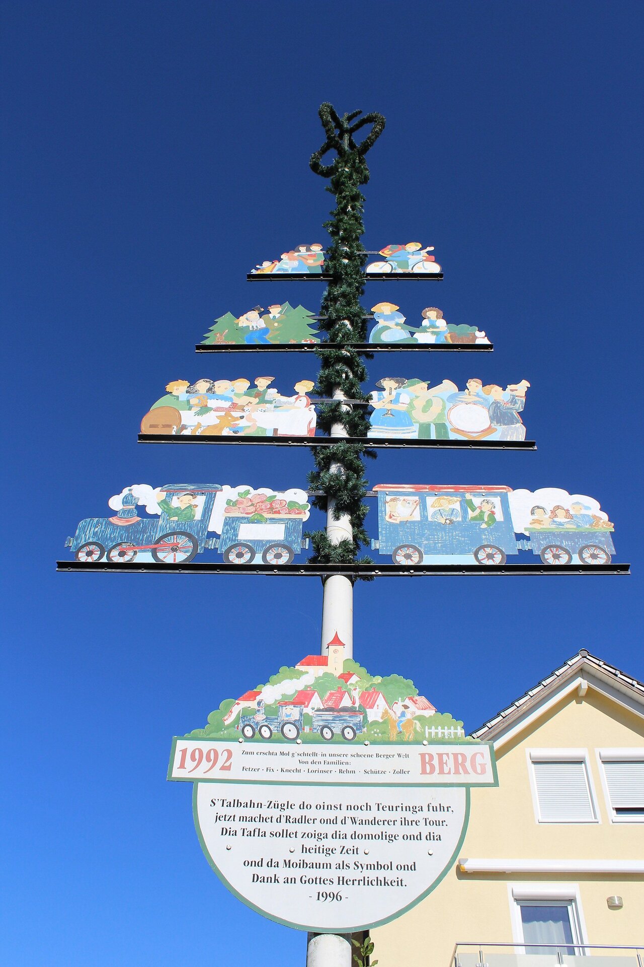
Steeped in history, the circular hike leads along the route of a former railway connection through a diverse landscape and through the Rotach river valley. The starting and end point is the high Berger church with its magnificent panorama.
Abstract
Steeped in history, the circular hike leads along the route of a former railway connection through a diverse landscape and through the Rotach river valley. The starting and end point is the high Berger church with its magnificent panorama.
Description
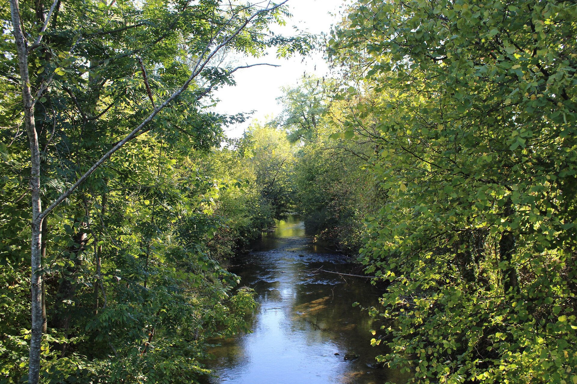
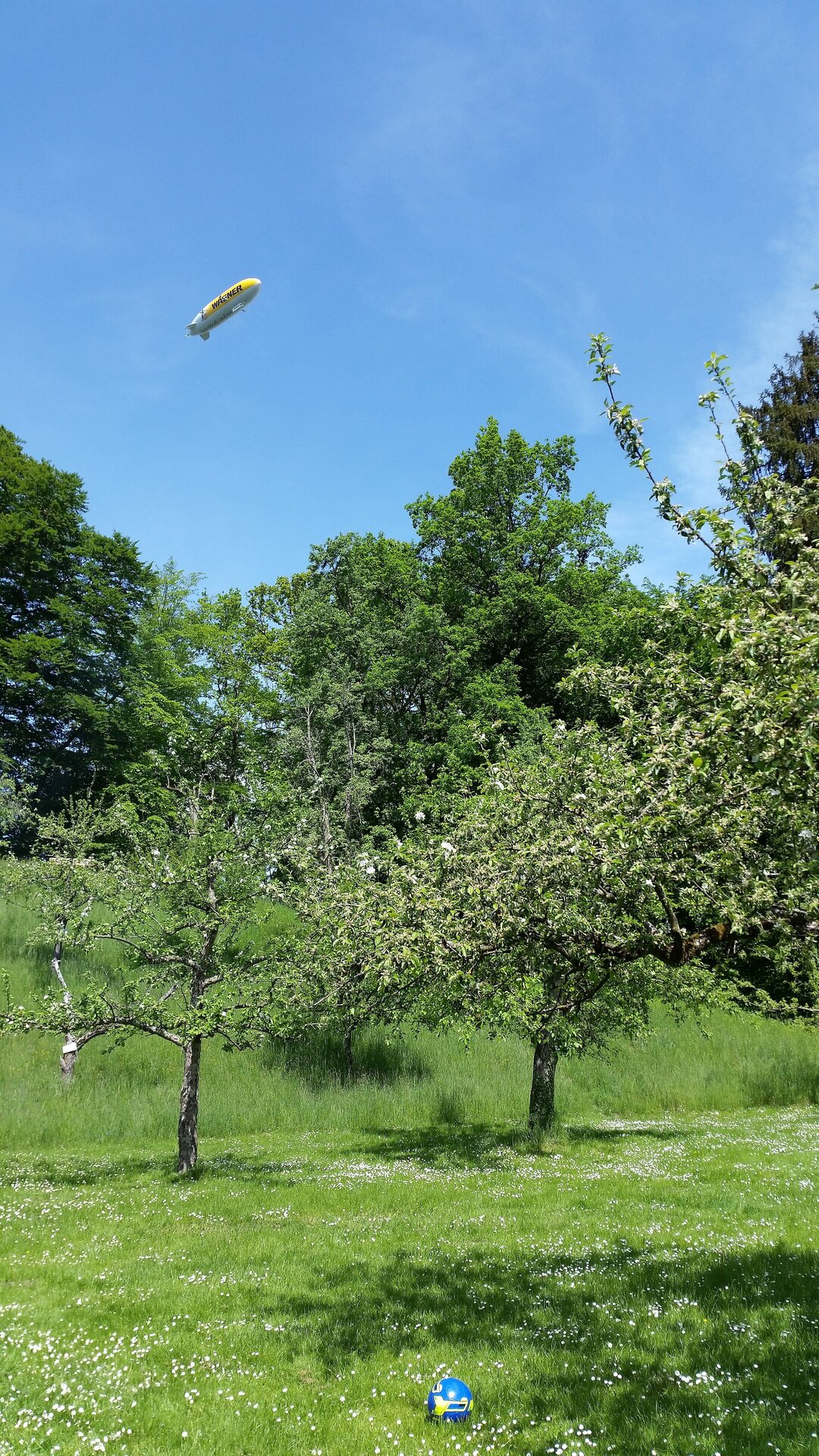
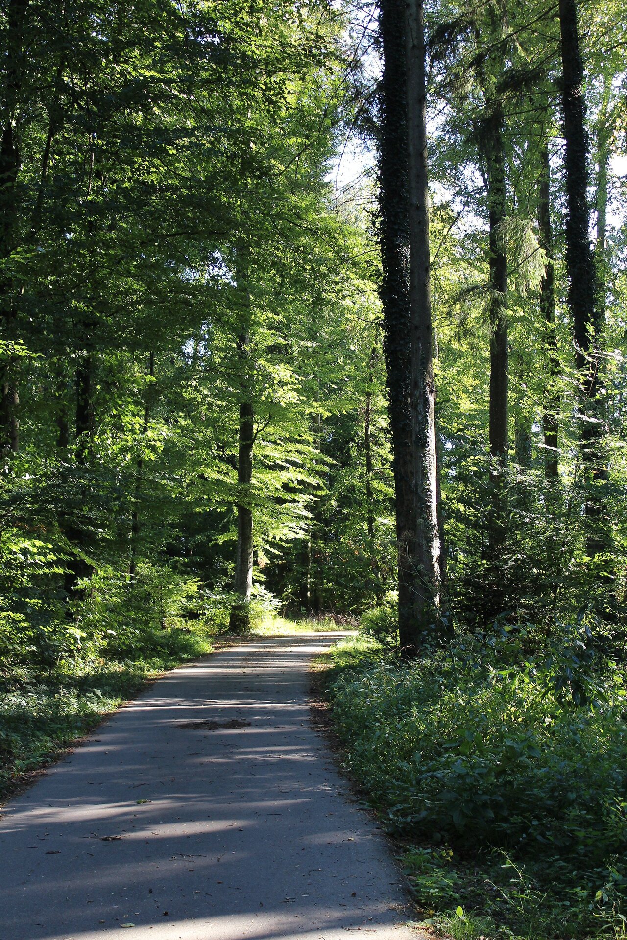
Right at the beginning, the square in front of the Berger church offers an impressive perspective over the entire city area, Lake Constance and the Alps. With the Säntis in view, the trail descends southwards to the former route of the Teuringertal railway and turns right along it, always in a northerly direction.The trail leads through a landscape that reminds one of an English garden in places. The open field paths eventually lead to an inconspicuous path in the forest, which leads wildly romantic through dense greenery. From Unterteuringen, the trail leads through the Rotachtal valley - along the river on narrow paths, past preserved and half-ruined mill facilities - in the direction of Weilermühle. There, the recreation area not only has a playground and barbecue area, but also the BUND orchard meadow with many old fruit varieties to (re)discover. Via narrow roads, field paths, through forest sections, past the Holzhof, up to a hilltop with another vantage point, the route leads back to Berg.
Tip
Picnic at the Weilermühle recreation area (only possible to a limited extent during the summer holidays).
Book recommendation:
Friedrichshafen Hiking Book -Wanderungen und Spaziergänge in Friedrichshafen und Umgebung
Author: Rainer Barth
Publisher: Lorenz Senn GmbH & Co. KG
ISBN: 978-3-88812-246-0
Directions
Berg - path towards Jettenhausen - former railway line to the north,
past Kappelhof to Unterteuringen - Weilermühle - Berg
End point
Parking
Parking is available at the village hall Berg below the church.
Public transit
City transport Friedrichshafen Line 16 Stop Martinsheim
Start point
Sesion
- Januar
- Februar
- März
- April
- Mai
- Juni
- Juli
- August
- September
- Oktober
- November
- Dezember
Requirements
- Condition 3 detail.requirements.value
- Experience 4 detail.requirements.value
- Landscape 4 detail.requirements.value
- Technique 1 detail.requirements.value
Details
- Spring
- Summer
- Fall
- Winter
Location
Publisher / Copyright: Tourist-Information Friedrichshafen – CC BY-SA 4.0 Tourist-Information Friedrichshafen