


Spittelsberg Loop Hike
Description
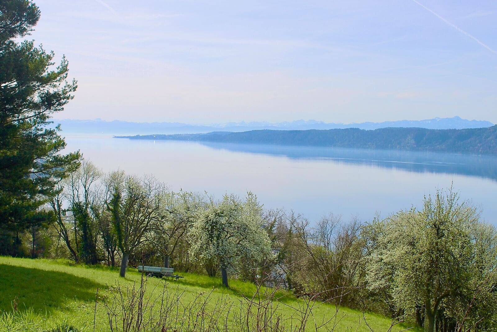
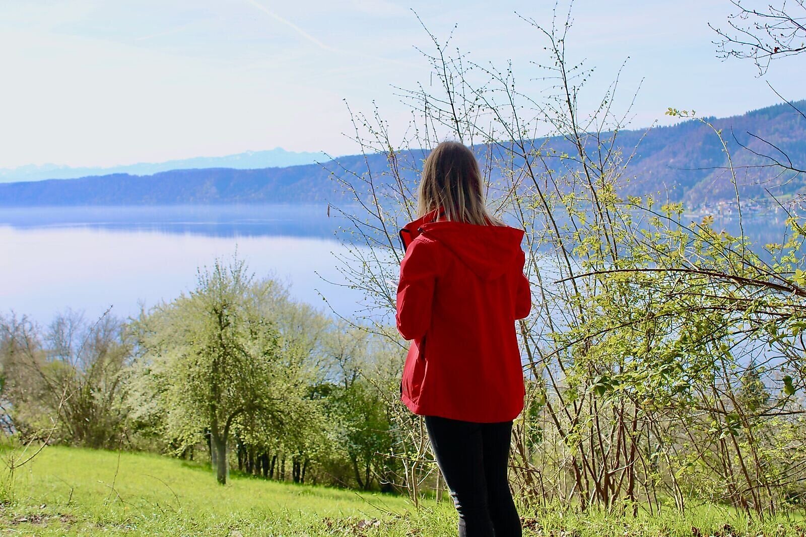
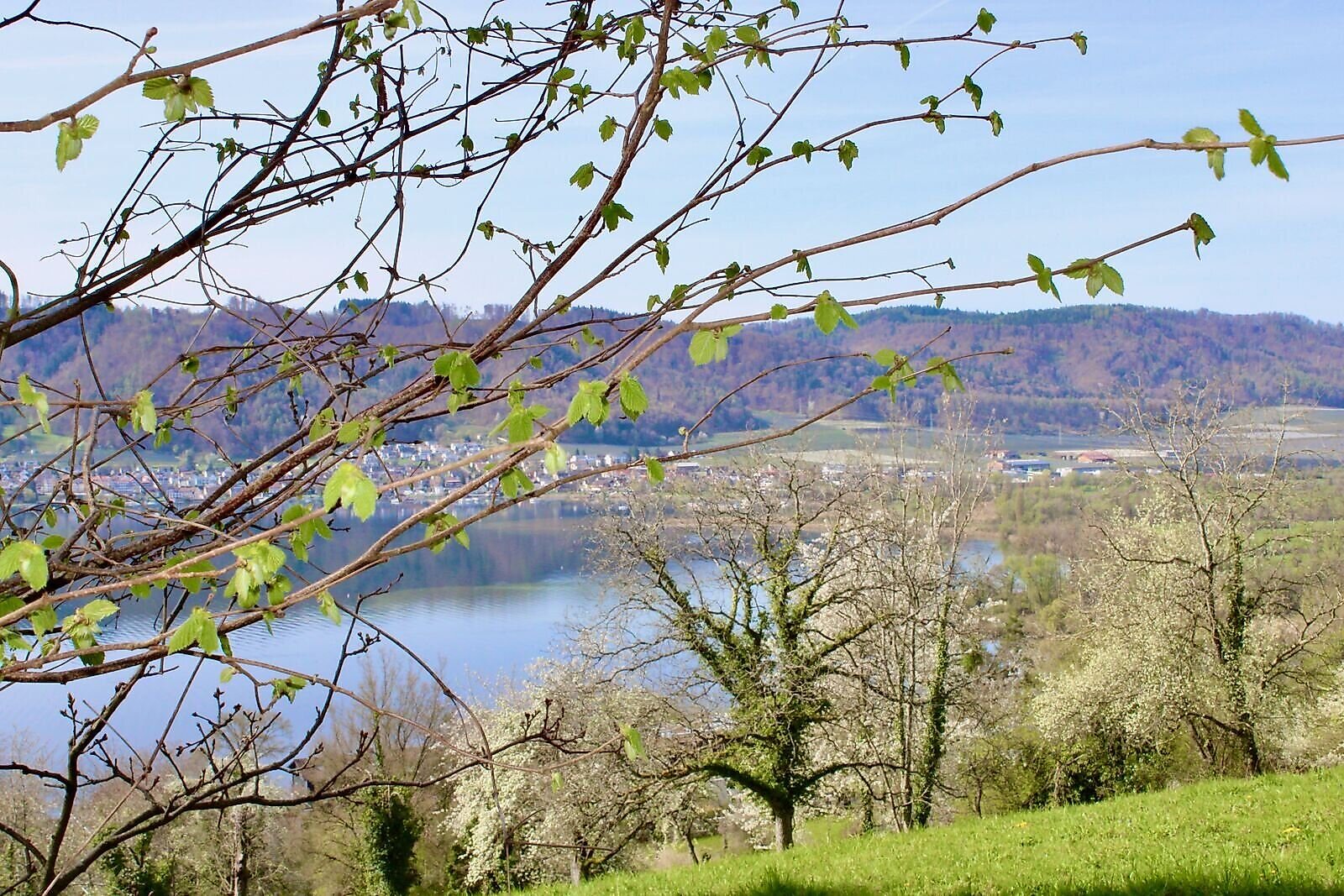
A varied tour with breathtaking views of the lake and the countryside!
Summary
A varied tour with breathtaking views of the lake and the countryside!
Description
This loop hike offers spectacular views of Ludwigshafen, the lake, and the Bodanrück. Enjoy your little getaway above Ludwigshafen.
Tip
If you don't want to return directly to the starting point, follow the path from the washing area to the waterfront in Ludwigshafen. Take a short break here—there are numerous restaurants and cafes offering something to suit every taste.
Directions
The trail is fully marked; please follow trail marker No. 8, the Spittelsberg Trail.
From the hiking parking lot at the Ludwigshafen sports field, the trail leads along Talstraße, Jahnweg, and Warthstraße to the cemetery. Above St. Anna Chapel, the trail continues along Kronbühlstraße and Am Guggenbühl toward the forest.
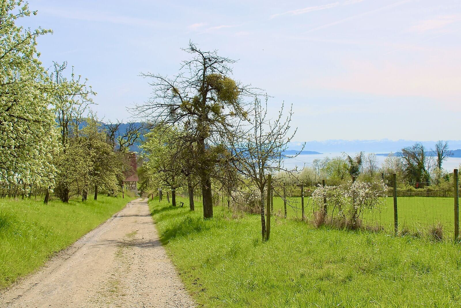
After a short stretch, turn left immediately and follow the narrow path with the stairs up the hill to Guggenbühl. Once at the top, you’ll be rewarded with a fantastic view across the lake toward Bodman and the Bodanrück.
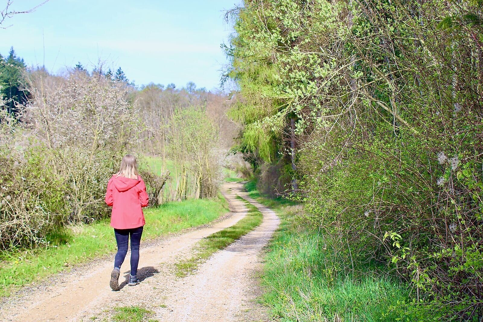
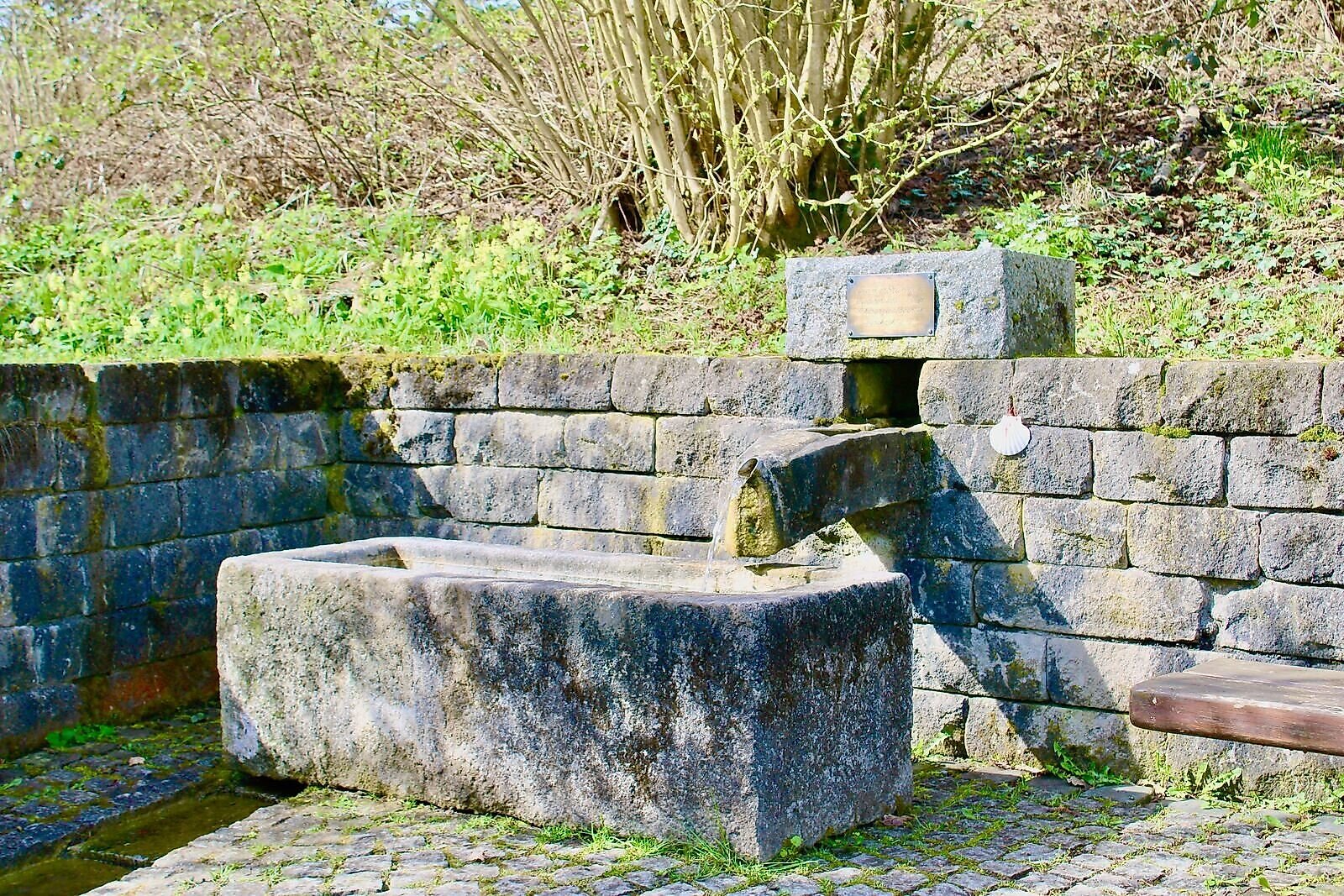
The trail now winds its way through varied terrain, taking you along forest paths, past orchards, and along dirt roads to the Römerbrunnen and the Spittelsberg. You’ll have plenty of opportunities to enjoy the views, and numerous benches invite you to take a short break along the way.
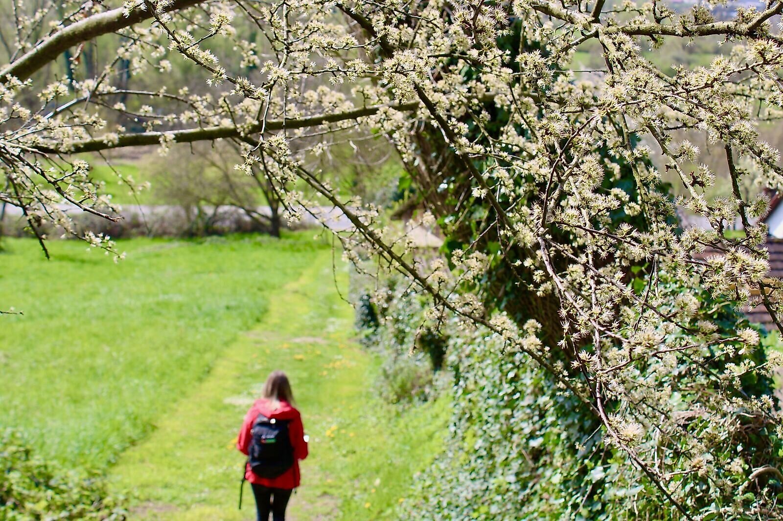
At the complex of buildings on the Spittelsberg, follow the trail downhill toward Ludwigshafen. After another viewpoint with a magnificent distant view of the lake and the mountain panorama, a narrow path leads steeply downhill and opens onto a meadow. At the end of the path, cross the street toward the nature reserve and the Schachenhorn campground. From there, follow the SeeGang Premium Hiking Trail, which takes you past the washhouse to the underpass. Pass through the underpass and follow the road to St. Anna Chapel. From there, head back along Warthstraße, Jahnweg, and Talstraße to the hiking parking lot.
Destination
Equipment
Sturdy footwear is required. This trail is suitable only for experienced hikers who are sure-footed.
Additional Information
Have you noticed any damage to a path, sign, or facility? If so, please let us know using our Bodman-Ludwigshafen damage reporting system. Thank you for your help!
Parking
Ludwigshafen Hiking Parking Lot, free of charge, maximum parking time 72 hours, cars only.
Public Transportation
Bus Route 105: Bahnhof or Volksbank Ludwigshafen stop
Bus Route 7389: Volksbank Ludwigshafen stop
Ludwigshafen Train Station: Train to Radolfzell / Friedrichshafen
Boat (Easter–October): Ludwigshafen Boat Landing
Safety Notice
For your own safety and to protect our unique natural landscape, we ask that you stay on the marked hiking trails.
The trail is not suitable for strollers or small children.
Please check www.bodman-ludwigshafen.de/wandern for information on current trail closures.
Starting Point
Walk-in months
- January
- February
- March
- April
- May
- June
- July
- August
- September
- October
- November
- December
Requirements
- Condition 4 detail.requirements.value
- Experience 4 detail.requirements.value
- Landscape 5 detail.requirements.value
- Technique 3 detail.requirements.value
- Difficulty 1 detail.requirements.value
Details
- Spring
- Summer
- Fall
- Winter