


Schwarzenberg | Geocaching at the Bödele—a treasure hunt with a twist
Brief Description
Looking for a little adventure? Interested in a treasure hunt? Then this loop trail combined with "geocaching" is the perfect way to spend an afternoon.
So put on your hiking boots, pack your backpack, and let the hunt for the geocaches begin!
Description
Geocaching is a kind of electronic treasure hunt or scavenger hunt.
The “hiding places” (called geocaches) are searched for—and hopefully found—using a GPS device based on geographic coordinates published on the Internet.
These hiding spots are usually located outdoors. A geocache is typically a waterproof container that holds a logbook and various small items for trading. Each visitor signs the logbook to document their successful find.
The geocache is then hidden again in the exact spot where it was found. It’s important not to be seen by outsiders (“Muggles”).
In the “Wattegg” nature reserve —on the hiking trail between the Hochälpele and the Lustenauer Hütte—there is a special, accessible geocache called the “Tschröuwe Galari” (N 47° 23.603 E 009° 49.112).
The Hochälpelehütte will be closed in the summer of 2026 for renovations.
Public Transportation
Parking
Bödele Parking Lot (Coordinates: N47 25.426 E9 48.559—across from the Hotel Restaurant Marvia) or
the “Sennhus” parking lot in the town center (large parking lot in front of the Spar Market) and then take the bus toward Bödele
Address: Hof 651, A-6867 Schwarzenberg
Directions
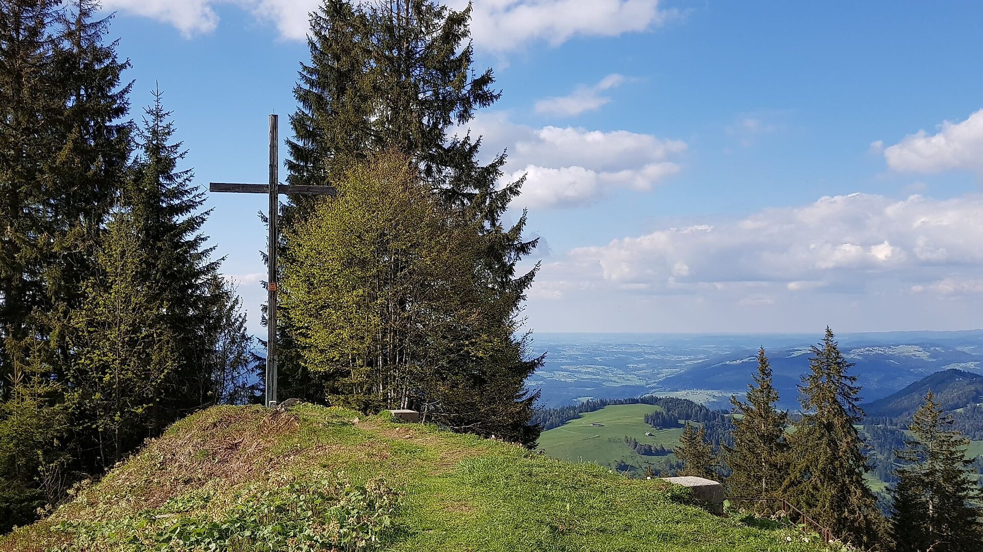
The hike starts at the Hotel Restaurant Marvia and heads toward the Bödele ski and hiking area. First, follow the signs to the Meierei and then toward Hochälpele. The first section runs alongside a chairlift to the Lank lookout point. About one kilometer from the Meierei, you’ll reach the Lank viewpoint, where you can admire Lake Constance on a clear day. The trail continues uphill to the summit cross at Hochälpele, offering a wonderful view of the Bregenzerwald and its mountains. Now follow the trail toward the Lustenauer Hütte. Here, take the path that leads straight ahead—away from the gravel path—at a sharp left turn. The adventurous hike continues, following the signs through the “Wategg” biotope to the Lustenauer Hütte. Once you reach the Lustenauer Hütte, turn left onto the gravel path and hike along the Spechtweg over the Älpele (Hochälpelealpe) back to Bödele.
Of course, this route description does not include any clues for the treasure hunt!
The route is signposted throughout and is also marked with the color combinations white-red-white and yellow-white. You can find
coordinates at www.geocaching.com. Route
description in bullet points:
Bödele Parking Lot – Alpe Oberlose/Meierei – Lank (1,353 m) - Hochälpele (Hochälpele Hut – staffed hut) - Gschwendtsattel – Wategg - Lustenauer Hut – Älpele (Hochälpelealpe) – Dornbirner Hut – Bödele parking lot
Safety Instructions
EMERGENCY NUMBER:
140 Alpine emergencies throughout
Austria 144 Alpine emergencies in Vorarlberg
112 European emergency number (works with any cell phone/network)
www.vorarlberg.travel/sicherheitstipps
Equipment
- Sturdy, waterproof hiking boots with a high-grip sole
- Clothing appropriate for the weather
- Sunscreen
- Snacks & plenty to drink
- Backpack
- First-aid kit
- Cell phone
- Cash
- Information on current weather conditions
- Hiking map
- GPS-enabled device
Tips
Places to eat:
- Hotel Restaurant Marvia
- Meierei Inn
- Hochälpele Hut
- Lustenauer Hut
- Dornbirner Hut
Objective
Bödele Parking Lot (Coordinates: N47 25.426 E9 48.559)
Home
Bödele Parking Lot (Coordinates: N47 25.426 E9 48.559)
Requirements
- Condition 3 detail.requirements.value
- Experience 6 detail.requirements.value
- Landscape 6 detail.requirements.value
- Difficulty 2 detail.requirements.value
Details
- Spring
- Summer
- Fall
Location
Publisher / Copyright: Bregenzerwald – (c) CC BY-ND Bregenzerwald / Schwarzenberg Tourismus l www.schwarzenberg.at