


Schwarzenberg | Family Hike to the Bödele Area (Stage 2)
Brief Description
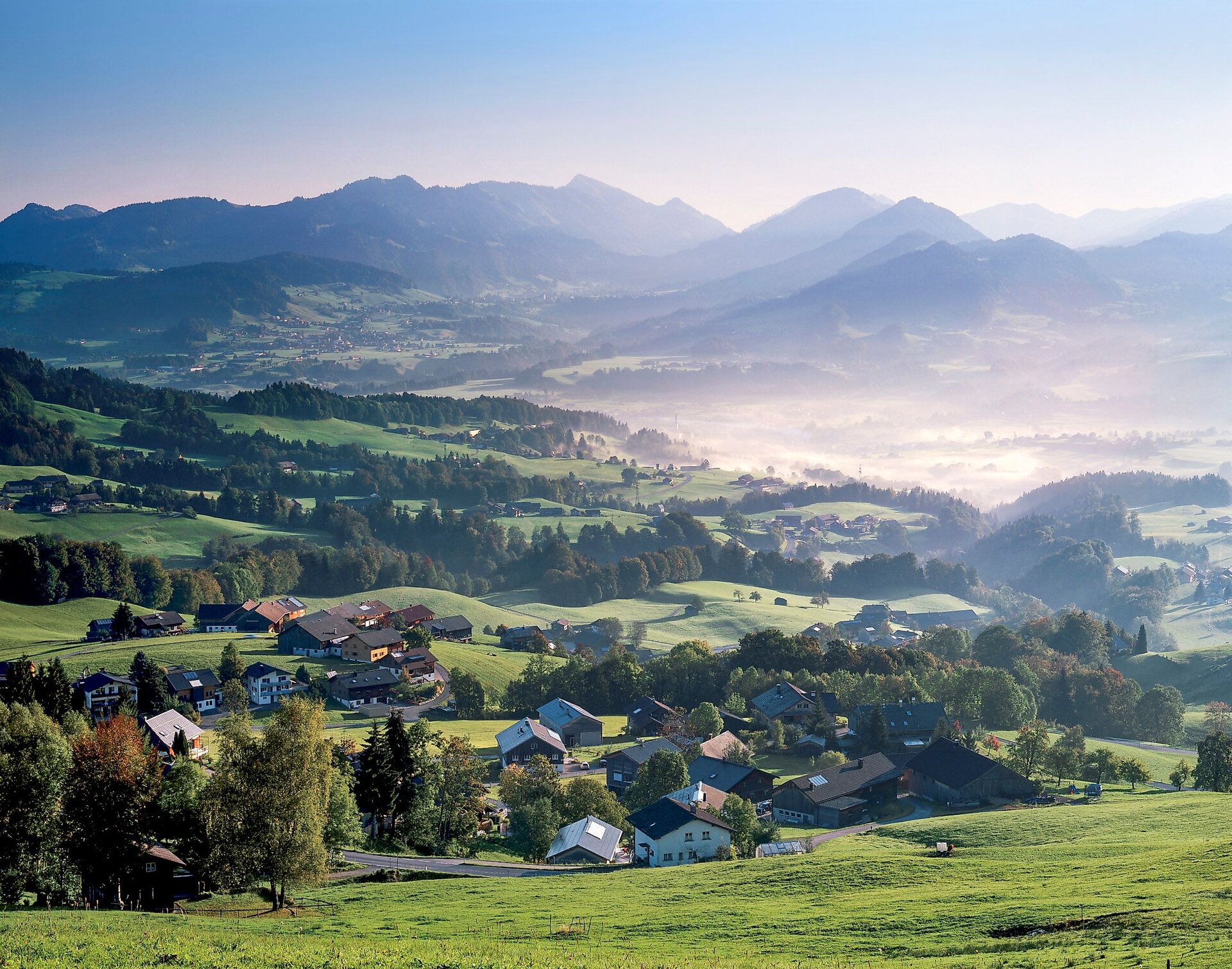
A special experience for hikers of all ages. This three-day hut-to-hut hike follows easy-to-walk high-altitude trails through the Bödele alpine pasture region. From Schwarzenberg to the Bregenzerhütte, through the Fohramoos European Nature Reserve, on to the Alpengasthof Brüggele, and back to Schwarzenberg.
Description
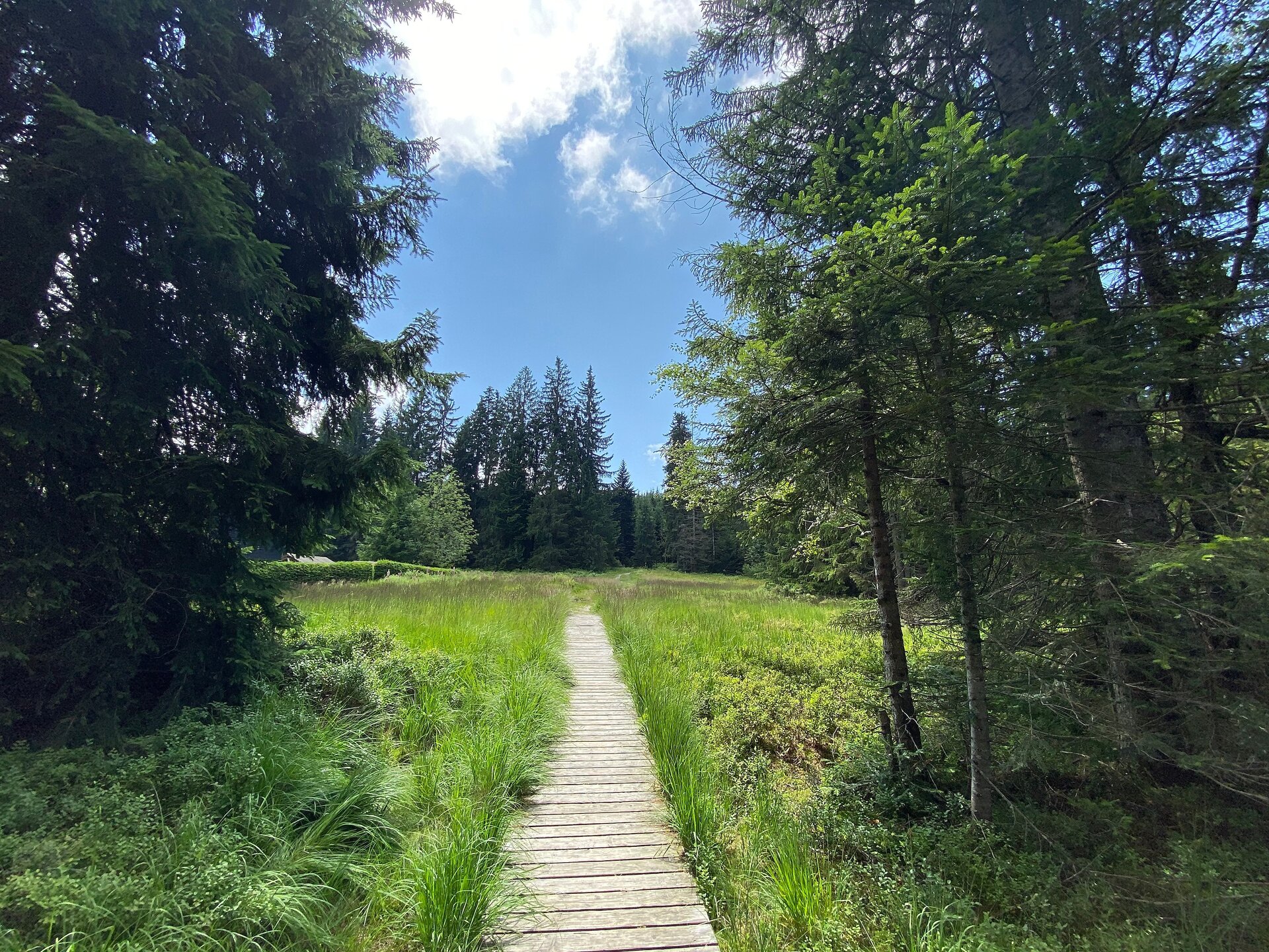
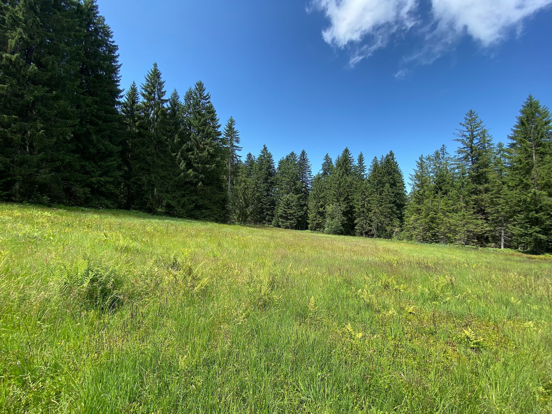
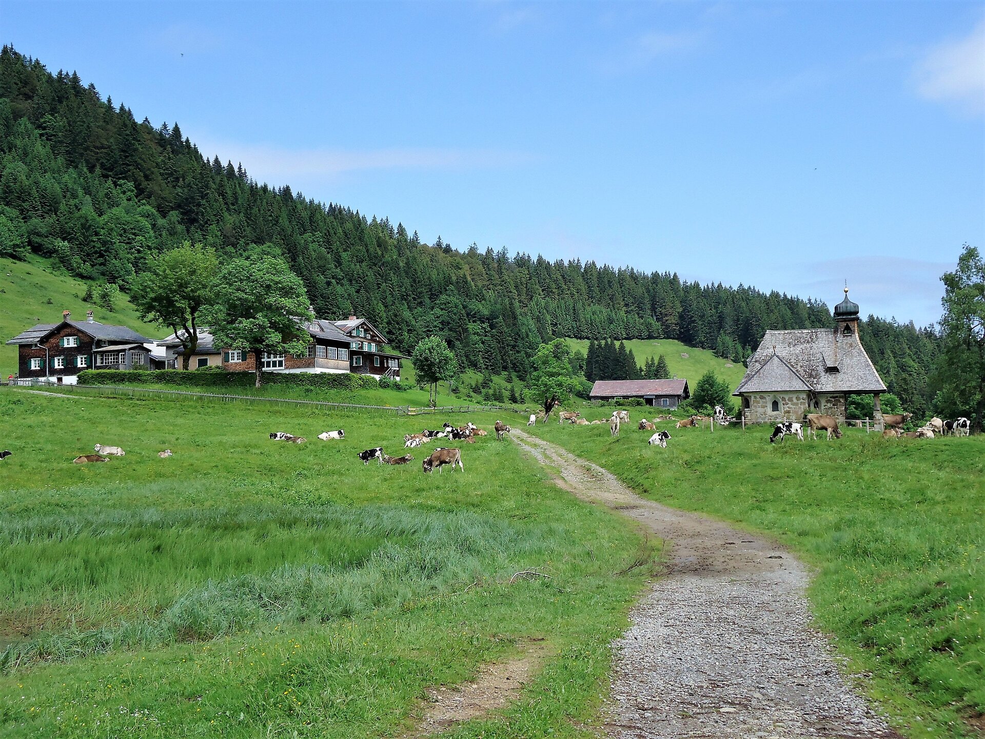
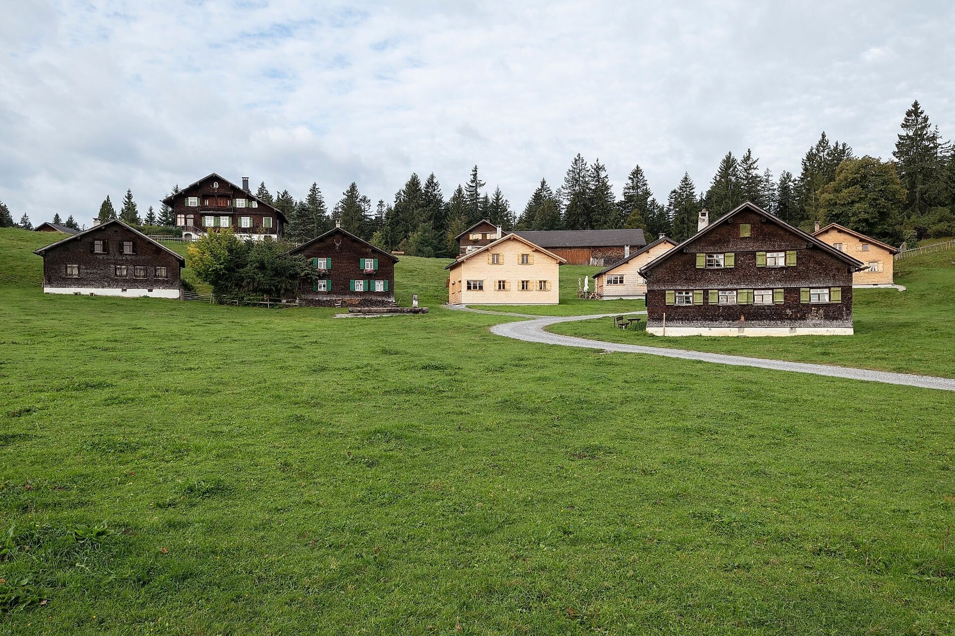
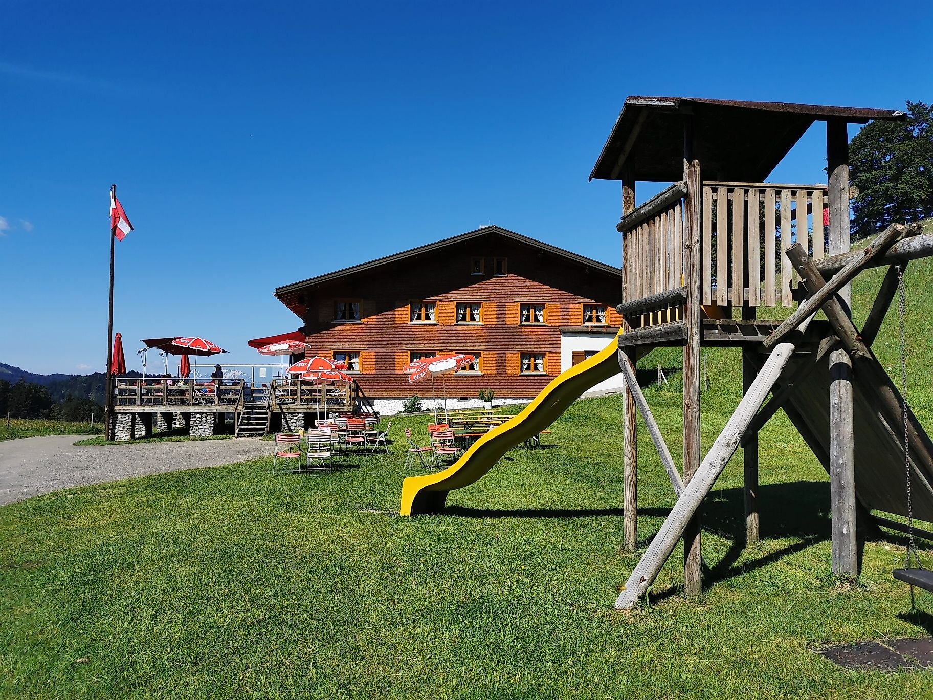
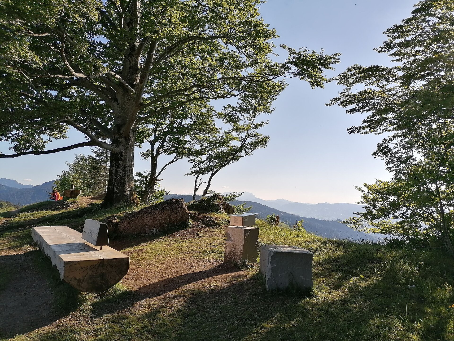
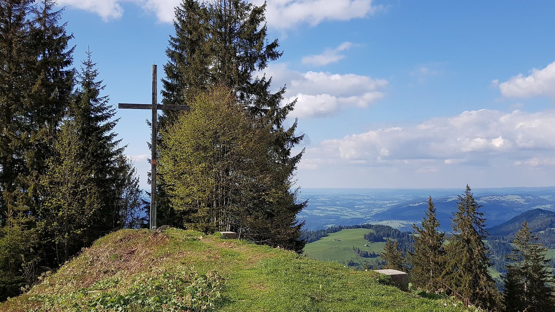
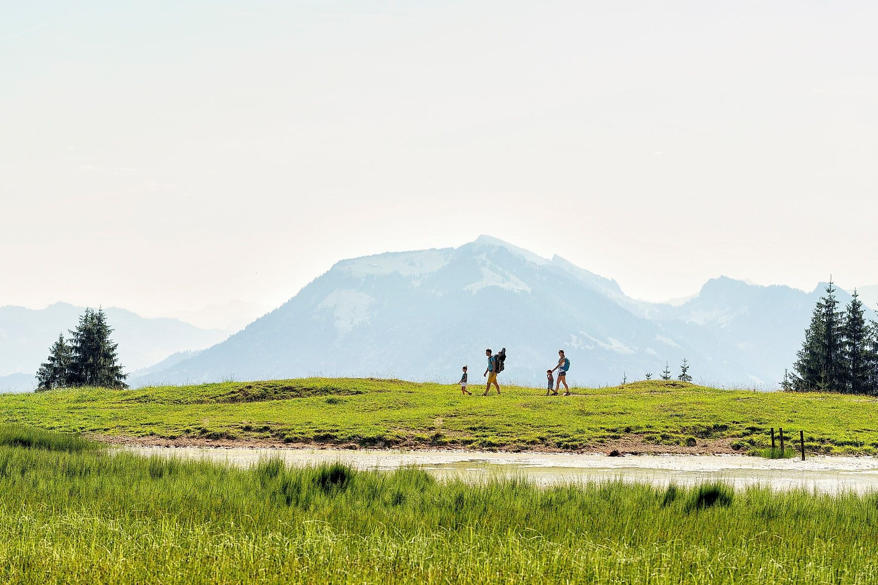
From the Bregenzer Hütte, continue hiking; after about 5 minutes, you’ll reach the trail junction where you turn right and head uphill toward Gschwendtalpe (mountain trail marked with white-red-white markers). After about 30 minutes, you’ll reach the Gschwendtsattel and continue hiking uphill to the Hochälpele summit at an elevation of 1,463 meters, offering a wonderful view of the Bregenzerwald mountain landscape. From here, follow the signs toward Bödele. The trail first leads along the mountain ridge to the Lank, a beautiful viewpoint at an elevation of 1,368 m with a view across Lake Constance. From the Lank, the trail descends to the Alpe Oberlose, through the Fohramoos Nature Reserve, and on to Lake Bödele. From Bödele (1,140 m), it takes just over an hour to reach the Lorenapass (1,045 m) via the Geißkopf area and Bergvorsäß. Here, a road leads uphill, and via Höhevorsäß, you reach the Alpengasthof Brüggele, located directly below the summit of the Brüggelekopf.
The Hochälpelehütte will be closed in the summer of 2026 for renovations.
Public Transportation
www.vmobil.at
Parking
Sennhus Parking Lot, Schwarzenberg
Directions
Bregenzer Hut – Hochälpele – Bödele – Lorenapass – Brüggele
Safety Instructions
EMERGENCY NUMBER:
140 Alpine emergencies throughout
Austria 144 Alpine emergencies in Vorarlberg
112 European emergency number (works with any cell phone/network)
www.vorarlberg.travel/sicherheitstipps
Equipment
- Sturdy, waterproof hiking boots with a high-grip sole
- Clothing appropriate for the weather
- Sunscreen
- Snacks & plenty to drink
- Backpack
- First-aid kit
- Cell phone
- Cash
- Information on current weather conditions
- Hiking map
Bibliography
The Bregenzerwald hiking map, at a scale of 1:32,000 and including a booklet with 50 hiking routes, is available at local tourist offices, Bregenzerwald Tourism, and sporting goods stores.
Objective
Home
Location
Publisher / Copyright: Bregenzerwald – (c) CC BY-ND Bregenzerwald / Katharina Amann