


Panoramic Hike: From Buch to Bildstein via the Schneiderkopf
Description
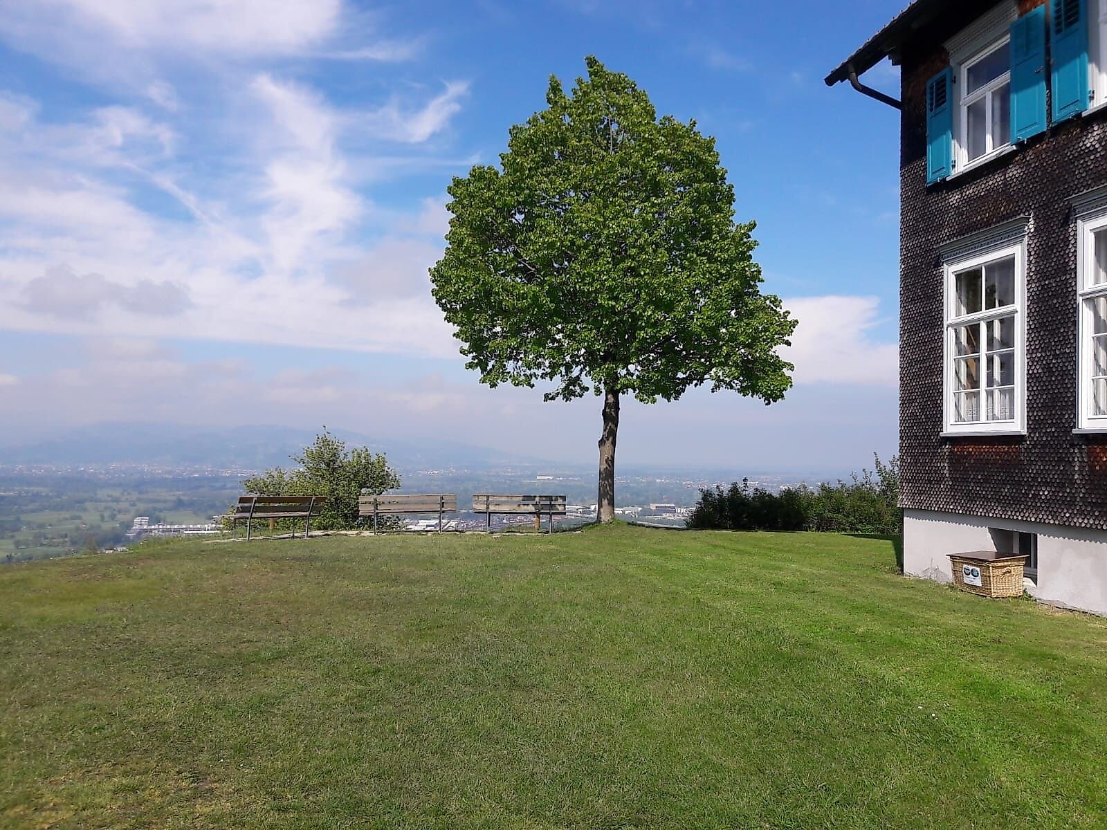
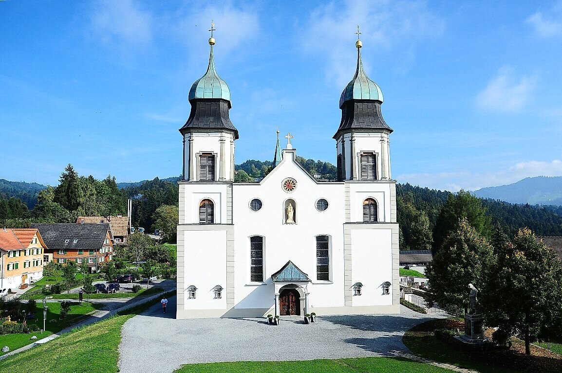
From the small village of Buch, nestled among farmsteads, the trail climbs through varied alpine meadows to the Schneiderkopf mountain cross viewpoint, which offers a magnificent panoramic view of the Bregenzerwald mountains. The little-traveled trail leads through varied alpine meadows and the forest to Bildstein. The Landmark of Bildstein
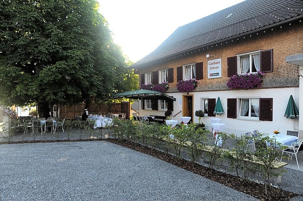
In Bildstein, you’ll find a variety of places to stop for refreshments.
Description
From the small village of Buch, nestled among farmsteads, the trail climbs through varied alpine meadows to the Schneiderkopf mountain cross viewpoint, which offers a magnificent panoramic view of the Bregenzerwald mountains. The little-traveled trail leads through varied alpine meadows and the forest to Bildstein. The Landmark of Bildstein
In Bildstein, you’ll find a variety of places to stop for refreshments.
Directions
Take the A14 Rhine Valley Highway to the Dornbirn Nord exit. Then head toward Lauterach (B190) and, at the Lauterach intersection (Michis Cafe), turn right onto Wolfurterstraße and drive to St. Nikolaus Parish Church in Wolfurt. From there, follow Bucher Straße (L14) to Buch.
Public Transportation
Bildstein - Landbus Line 45
Buch - Country Bus Route 24
www.vmobil.at
Parking
Parking is available in the village center.
Directions
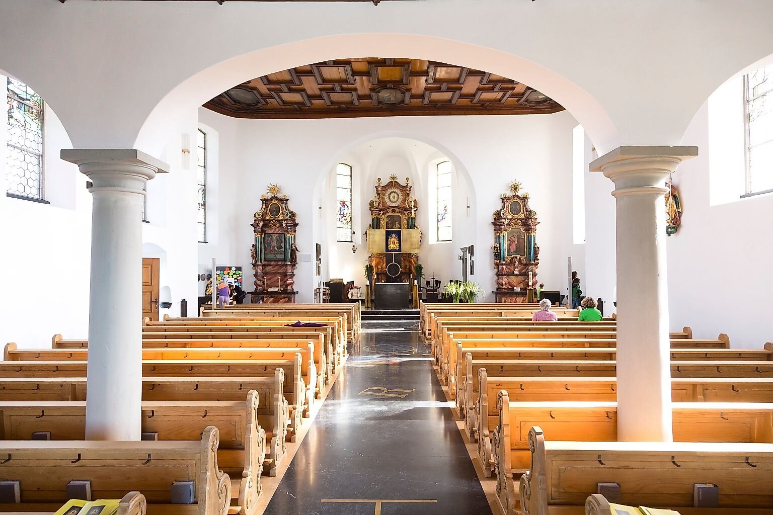
Starting from the town of Buch and passing the Schneiderkopf lifts, we reach the Schneiderkopf at 971 meters after a somewhat strenuous, straight climb. Here, we’re treated to a magnificent panoramic view of the Bregenzerwald mountains. We continue via Maiern to the Schniderloch trail junction and turn right onto the Maximilansweg. At the next signpost, our route continues via Vogelsang to Kreuzmoos. The trail continues through the Bildstein area down to Grub and, with only a slight change in elevation, winds through wooded terrain down to the Basilica of Maria Bildstein, the early Baroque pilgrimage church with its two bell towers visible from afar.
Safety Instructions
112 Emergency Number (works with any cell phone/network)
Equipment
Sturdy footwear is recommended
Additional Information
www.maria-bildstein.at
Brief Description
On the hiking trail from Buch to Bildstein via the Schneiderkopf, those seeking rest and relaxation will find peace and tranquility. At the end of the Schneiderkopf Trail, we enjoy the beautiful view of the Bregenzerwald and the Swiss mountains from the mountain cross just below the summit (971 m). Passing the Schneider viewpoint, the trail winds through the Bildstein area, traversing a varied cultural landscape down to Grub and then descending through wooded terrain with minimal elevation change to the Bildstein pilgrimage church.
Requirements
- Condition 3 detail.requirements.value
- Experience 6 detail.requirements.value
- Landscape 6 detail.requirements.value
- Technique 2 detail.requirements.value
- Difficulty 2 detail.requirements.value
Details
- Spring
- Summer
- Fall
Location
Publisher / Copyright: Bodensee-Vorarlberg Tourismus GmbH – (c) Bodensee-Vorarlberg Tourismus GmbH / Bodensee-Vorarlberg Tourismus