


Nordic walking in Bohlingen – 4–6 km
Description
Easy to moderately difficult Nordic walking and hiking route “Genusswalken Bohlingen – Randegger Durst” (2,5–3,5 miles) with short climbs, magnificent views, and relaxing rest areas in the Bohlingen district of Singen.
Abstract
Easy to moderately difficult Nordic walking and hiking route “Genusswalken Bohlingen – Randegger Durst” (2,5–3,5 miles) with short climbs, magnificent views, and relaxing rest areas in the Bohlingen district of Singen.
Description
The "Randegger Durst" route, part of the Bohlingen pleasure walking concept, is a varied circular tour of 2.5 to 3.5 miles in length. The original three Nordic walking routes, which were created in the early 2000s by the city of Singen with the support of four sponsors, have since been expanded into a network of six uniformly signposted circular tours. The signage has been modernized and integrated into the new leisure walking concept, which is ideal for both beginners and experienced Nordic walkers and hikers.
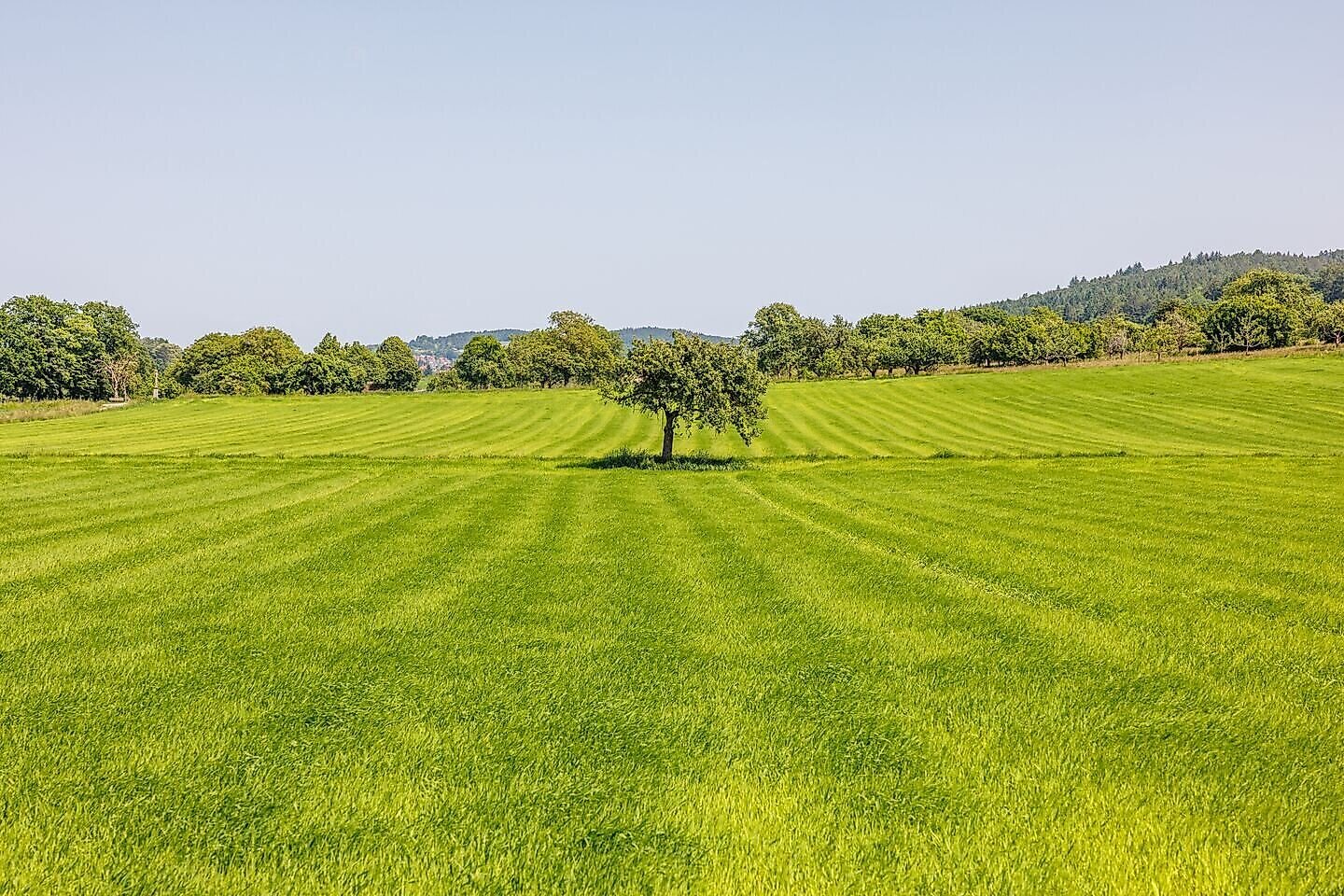
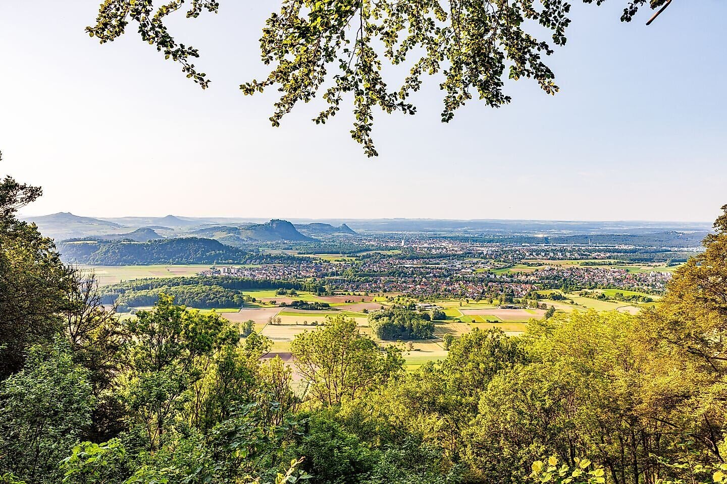
The route leads through the unspoiled landscape of the Schienerberg on short, crisp climbs and offers beautiful views of the surrounding Hegau mountains, fields, and forests. Two information points and cozy rest areas invite you to enjoy nature, let your gaze wander, or take a short break.
The Singen district of Bohlingen is perfect for active vacationers: in addition to Nordic walking, the surrounding area and well-signposted trails also offer ideal conditions for hiking and mountain biking. The nearby Lake Constance rounds off the leisure activities on offer and allows you to combine sporting activities with nature experiences.
The "Randegger Durst" route is the ideal combination of exercise, fresh air, and the beauty of the Hegau region, making it a great tip for anyone who wants to combine sport, nature, and enjoyment.
Directions
The starting point is the parking lot on the K6161 road connecting Bohlingen and Schienen. The route initially runs parallel to the road, climbing steadily uphill on forest trails until it leaves the vicinity of the road and plunges deep into the beech forest. After just under 2 miles, it reaches its highest point at 637 m. You pass the Bohlinger Gorge and swing back towards the starting point.
End point
Gear
Nordic walking poles
Clothing suitable for the weather
Sunscreen
Drinks
More information
There is another Nordic walking centre in Hegau, located in Tengen. There are four additional signposted routes there.
Parking
Car park on the K6161.
Start point
Sesion
- Januar
- Februar
- März
- April
- Mai
- Juni
- Juli
- August
- September
- Oktober
- November
- Dezember
Requirements
- Condition 3 detail.requirements.value
- Experience 2 detail.requirements.value
- Landscape 3 detail.requirements.value
- Difficulty 1 detail.requirements.value
Details
- Spring
- Summer
- Fall
- Winter
Location
Publisher / Copyright: Tourist-Information Singen (Hohentwiel) – CC BY-SA 4.0 Tourist-Information Singen (Hohentwiel)