


Mountain bike circuit from Thüringerberg-Meiern via Dünserberg
Description
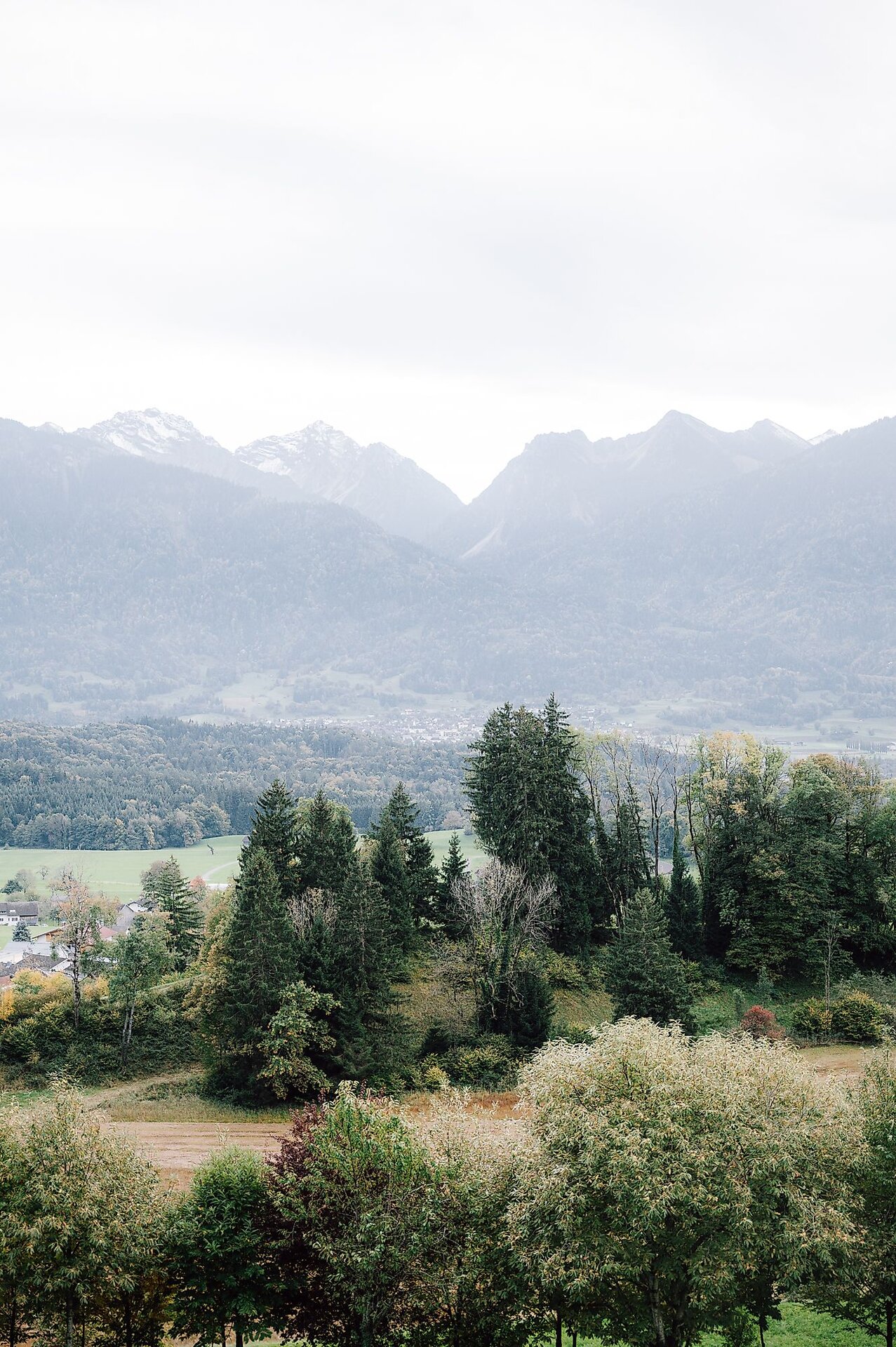
Starting in Meiern, part of Thüringerberg, this mountain bike circuit of around 32 kilometres initially descends through the Walgau valley before the long climbs towards the heights of Dünserberg begin. Meadows, small villages and wooded hillsides characterise the opening section. The extended, sometimes steep climbs call for good fitness and careful pacing.
Higher up, stretches of woodland alternate with open Alpine pastures. There are frequent views across the Walgau valley and towards the surrounding mountains, including the peaks of the Rätikon range. A long, varied descent follows the highest point, with some steeper sections; a further climb towards the end puts the legs to work once more.
This sporty circuit is aimed at experienced mountain bikers with good stamina. It combines an immersive mountain experience with sustained climbing and a demanding descent. The technical difficulty has provisionally been assessed as moderate; the trail surfaces still need to be verified.
Short description
Starting in Meiern, part of Thüringerberg, this mountain bike circuit of around 32 kilometres initially descends through the Walgau valley before the long climbs towards the heights of Dünserberg begin. Meadows, small villages and wooded hillsides characterise the opening section. The extended, sometimes steep climbs call for good fitness and careful pacing.
Higher up, stretches of woodland alternate with open Alpine pastures. There are frequent views across the Walgau valley and towards the surrounding mountains, including the peaks of the Rätikon range. A long, varied descent follows the highest point, with some steeper sections; a further climb towards the end puts the legs to work once more.
This sporty circuit is aimed at experienced mountain bikers with good stamina. It combines an immersive mountain experience with sustained climbing and a demanding descent. The technical difficulty has provisionally been assessed as moderate; the trail surfaces still need to be verified.
Detailed description
The circular route begins in Thüringerberg at the “Thüringerberg Außerberg” bus stop. Thüringerberg is situated above the Walgau valley, at the entrance to the Großes Walsertal. The tour starts with a noticeable descent. As the route loses elevation, the scenery changes from the higher mountain slopes to the valley and settlements of the Walgau.
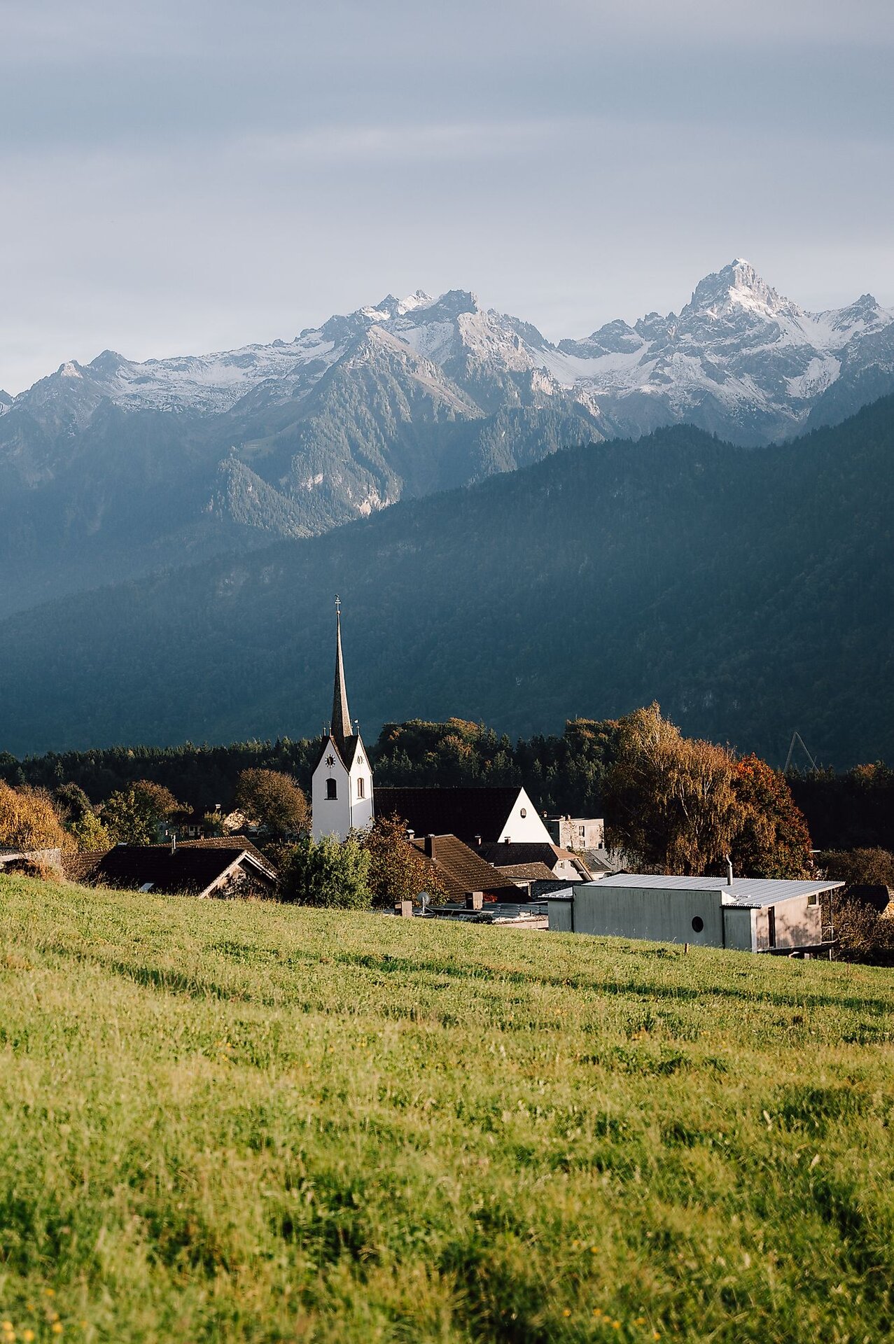
The route then continues through the areas of Schnifis and Röns, passing the Parish Church of St John the Baptist and the Parish Church of St Magnus. These villages lie between wooded hillsides and the valley floor, with meadows, farms and small settlements characterising this part of the tour. Despite a few flatter sections and gentle climbs, the route continues to descend overall.
Heading towards Satteins, the route passes the Parish Church of St George and reaches its lowest point at just under 500 metres above sea level. This marks the transition from the long descent to the main physical challenge of the tour: from here, the route climbs steadily over several kilometres, gradually leaving the villages and valley landscape behind.
The first long climb leads up the slopes above the Walgau valley, gaining more than 500 metres in elevation over several kilometres. Wooded sections alternate with more open hillsides, offering occasional views down into the valley. The sustained gradient requires careful pacing, while shorter, flatter stretches provide opportunities to settle into a comfortable rhythm.
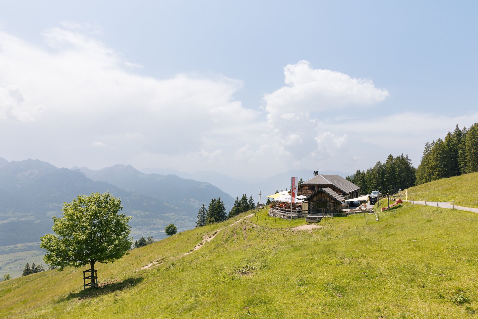
After a brief respite, another extended climb leads into the higher mountain areas of Dünserberg. The surroundings become increasingly alpine, with open meadows and alpine pastures shaping the landscape. At the highest point, around 1,560 metres above sea level, clear weather offers sweeping views across the Walgau valley and towards the mountains of the Rätikon range. The Dünser Älpele, a well-known destination for excursions and refreshments, is also located in this mountain area.
The highest section is followed by a long, sometimes very steep descent, losing several hundred metres in elevation within just a few kilometres. The route leads from open mountain landscapes back down into lower, more densely wooded hillsides. Particularly in changing conditions, the steep gradient requires concentration and a controlled speed.
The circular route is not quite finished yet: another noticeable climb adds around 170 metres of elevation gain before the final kilometres lead downhill back to Meiern, where the loop is completed. It is also possible to join the route at other suitable, publicly accessible points along the way.
Getting there
The tour starts and finishes in the hamlet of Meiern in Thüringerberg.
By public transport
Bus stop at the start/finish: Thüringerberg Meiern (Landbus service 570).
Train station at the start/finish: Ludesch railway station; there is no railway station in Meiern.
Bus connections run from Ludesch railway station to Thüringen, including service 560. At Thüringen Busplatz, change to service 570 for Thüringerberg Meiern. Please check current connections and bicycle carriage arrangements before travelling.
Journey planner: vmobil.at
By car
Travel through the Walgau valley to Thüringen, then follow the road uphill towards Thüringerberg. The hamlet of Meiern lies on the approach to the village centre further up the hillside.
Parking
The recommended option is "Parkplatz Gemeindeamt Thüringerberg", Jagdbergstraße 270, 6721 Thüringerberg. This officially listed car park is beside the municipal office in the village centre. The starting point in Meiern can be reached from there by bike. Please observe the current parking information on site.
Equipment
A well-maintained mountain bike with reliable brakes and suitable tyres, a cycling helmet, gloves and clothing appropriate for the weather are recommended. Carry plenty of water and food for the long climb, as well as a windproof or waterproof layer for the descent. A spare inner tube or repair kit, pump, first-aid kit and charged mobile phone are also advisable.
Safety information
The circuit includes long, demanding climbs and a substantial descent after the highest point, with some very steep sections. Adjust your speed to visibility, gradient and ground conditions; braking distances may be longer in wet weather. Watch for traffic in the villages, and be considerate of others on shared paths as well as farming and forestry activities. In the higher areas, sudden changes in weather and cooler temperatures may make riding more difficult.
Additional information
This circuit links the villages of the Walgau valley with the mountain landscape of Dünserberg. The contrast between the lower, settled areas and the open uplands, with views over the valley and towards the Rätikon range, is particularly appealing.
The Dünser Älpele is a well-known place to stop for refreshments in the upper mountain area. Anyone planning a break there should check access from their route and the current opening arrangements in advance.
Requirements
- Condition 5 detail.requirements.value
- Experience 4 detail.requirements.value
- Landscape 4 detail.requirements.value
- Technique 4 detail.requirements.value
Details
- Spring
- Summer
- Fall