


Mountain bike circuit from Beschling via Klamperschrofen and Tschengla
Description
This challenging mountain bike circuit leads from Beschling in the Walgau valley over Nenzingerberg into the Alpine landscape around Klamperschrofen, then returns to the valley via Burtschasattel and Tschengla. Covering approximately 46.6 kilometres with around 1,600 metres of ascent, the route requires excellent fitness, particularly on the long uphill section.
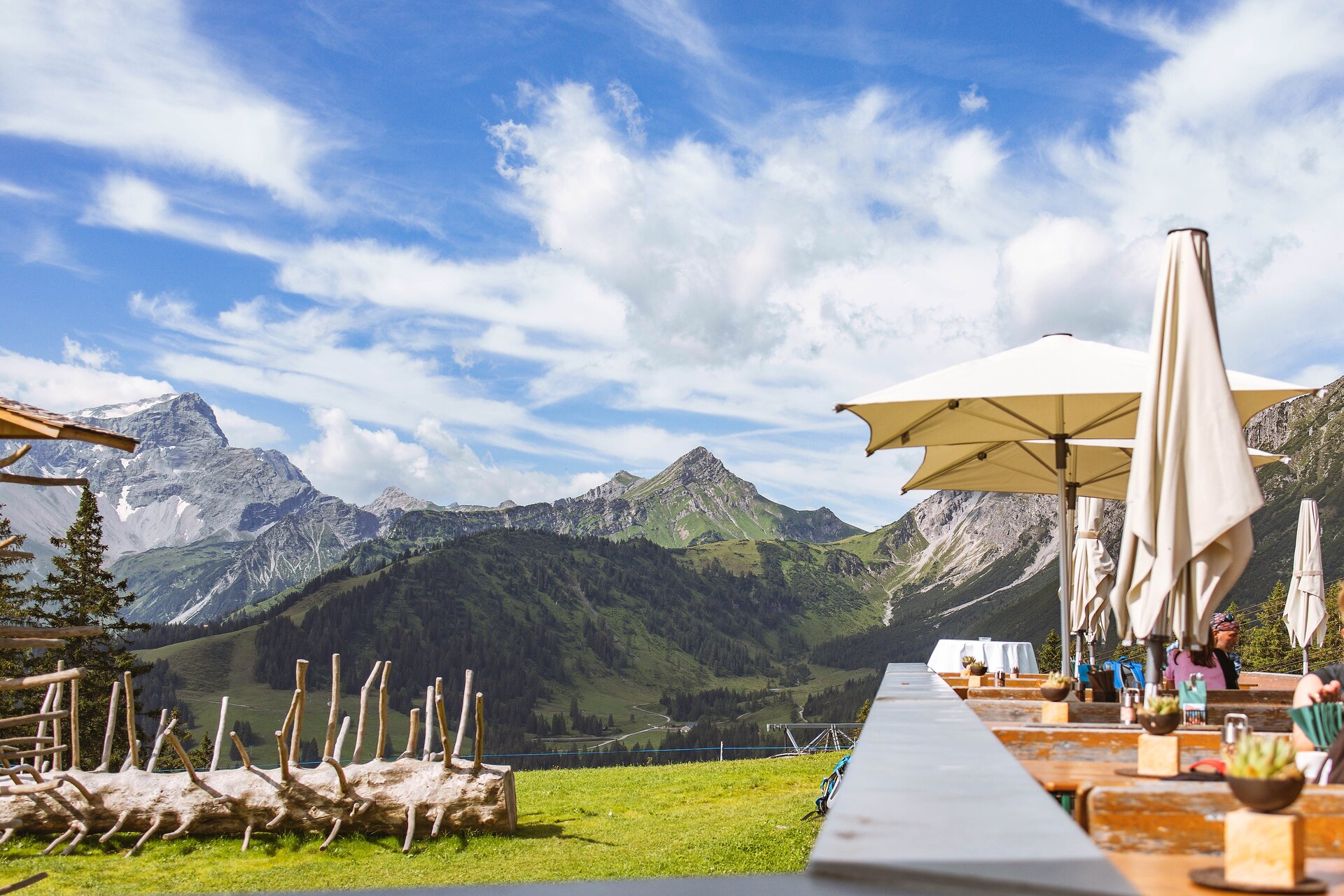
Wooded hillsides, alpine pastures and views of the Rätikon mountains provide changing scenery along the way. Valscherina Hut, Furkla Alpe and the Frööd and Fuchsbau mountain restaurants lie on or close to the route. The extended descent through Bürserberg and the flatter return beside the River Ill bring out the contrast between the mountains and the valley.
Short description
This challenging mountain bike circuit leads from Beschling in the Walgau valley over Nenzingerberg into the Alpine landscape around Klamperschrofen, then returns to the valley via Burtschasattel and Tschengla. Covering approximately 46.6 kilometres with around 1,600 metres of ascent, the route requires excellent fitness, particularly on the long uphill section.
Wooded hillsides, alpine pastures and views of the Rätikon mountains provide changing scenery along the way. Valscherina Hut, Furkla Alpe and the Frööd and Fuchsbau mountain restaurants lie on or close to the route. The extended descent through Bürserberg and the flatter return beside the River Ill bring out the contrast between the mountains and the valley.
Detailed description
The circular tour begins near Schlins-Beschling railway station, close to the River Ill. Initially, the route passes through Beschling towards Nenzing, where the going remains relatively gentle across the valley floor. In Nenzing, the tour crosses the River Meng. Shortly afterwards, the first and by far the longest climb of the circuit begins.
The route climbs steadily for many kilometres along the slopes of Nenzingerberg. Wooded stretches alternate with open areas. In the mountain section, the ascent follows mainly farm and forestry tracks, including gravel sections. The considerable elevation gain calls for steady pacing and careful management of your energy. As you climb higher, the views over the Walgau valley and the surrounding mountains become increasingly expansive.
The circuit passes Valscherina Hut on the way up before continuing into higher alpine pastureland. After approximately 17 kilometres, it reaches its highest section near Klamperschrofen and Klampera Fürkele, at around 1,726 metres above sea level. This is a rewarding place to stop briefly and take in the mountain scenery below Mondspitze.
The route then loses a little height, passing Furkla Alpe and continuing through open alpine terrain towards Parpfienzsattel. After the sustained climb, the riding becomes more varied, with shorter descents, gentler sections and small uphill stretches. Across the meadows and between the mountain slopes, views open up towards the Brandnertal valley and the peaks of the Rätikon.
Beyond Parpfienzsattel, the route begins its transition into the long descent towards the valley. Around Burtschasattel, it passes the upper station of the Panoramabahn cable car and Restaurant Frööd. Further downhill, the route also passes Bergrestaurant Fuchsbau. When open, both restaurants offer the chance to stop for refreshments and enjoy the mountain views.
The ride continues across the Tschengla high plateau and through the Bürserberg area. The long descent loses substantial height; on gravel or uneven sections, confident braking and an appropriate speed are particularly important. Alpine meadows and woodland gradually give way to inhabited hillsides before the route reaches Bürs on the valley floor.
In Bürs, the circuit returns to the River Ill. The character of the ride changes noticeably: the flatter paths of the Walgau now replace the sustained climbs and descents. The river accompanies the return towards Nenzing, with views of the mountains crossed earlier in the day.
Passing Nenzing, the final section follows the River Ill back towards Beschling and Schlins-Beschling railway station, where the circular tour ends. The gentler ride through the valley provides a relaxed finish to a physically demanding mountain outing. The circuit can also be joined at other suitable points where cycling access is permitted.
Getting there
The tour starts and finishes near Schlins-Beschling railway station, close to the River Ill in Beschling, part of the municipality of Nenzing.
By public transport
Bus stop at the start/finish: Schlins Bahnhof, in the station area.
Train station at the start/finish: Schlins-Beschling railway station.
The station is served by regional and S-Bahn trains. Check current connections and the conditions for taking bicycles on board before travelling. Bus connections serving the Schlins/Beschling area can also be found in the journey planner.
Journey planner: vmobil.at
By car
Approach via the roads through the Walgau valley towards Nenzing/Beschling, then follow Schlinserstraße to Schlins-Beschling railway station.
Parking
The recommended option is at Schlins-Beschling railway station, accessed from Schlinserstraße. Please observe the current parking conditions displayed on site.
Equipment
A mountain bike suitable for off-road riding, with reliable brakes and appropriate tyres, is recommended. A cycle helmet, gloves, sufficient drinking water and food, and weatherproof clothing are advisable for this long mountain route. Bring a repair kit, spare inner tube or puncture supplies, and a charged navigation device. If riding an e-mountain bike, make sure the battery range is sufficient for the substantial elevation gain.
Safety information
Excellent stamina is essential, particularly for the long climb towards Klamperschrofen and the extended descent that follows. Reduce speed on gravel, in wet conditions and around blind bends. Weather and visibility can change quickly in the mountains, so check conditions and any closures before setting off. Be considerate towards walkers, grazing animals and agricultural or forestry vehicles, and stay on routes where cycling is permitted. Watch out for other traffic when passing through villages or crossing roads.
Additional information
Restaurant Frööd at Burtschasattel and Bergrestaurant Fuchsbau offer potential refreshment stops in the mountains. Valscherina Hut is an Alpine Club hut with limited or seasonal catering rather than a restaurant open every day. Check current opening arrangements before setting off. The higher sections are best suited to the snow-free months, although weather and trail conditions may affect whether they can be ridden even then.
Requirements
- Condition 5 detail.requirements.value
- Experience 5 detail.requirements.value
- Landscape 5 detail.requirements.value
- Difficulty 6 detail.requirements.value
Details
- Spring
- Summer
- Fall
Location
- End
-
Schlin Station
Gewerbestraße 1
6710 Nenzing, Austria Read more