


Mellau | Around the Kanisfluh
Brief Description
The hike around the Kanisfluh—a classic in the Bregenzerwald.
Description
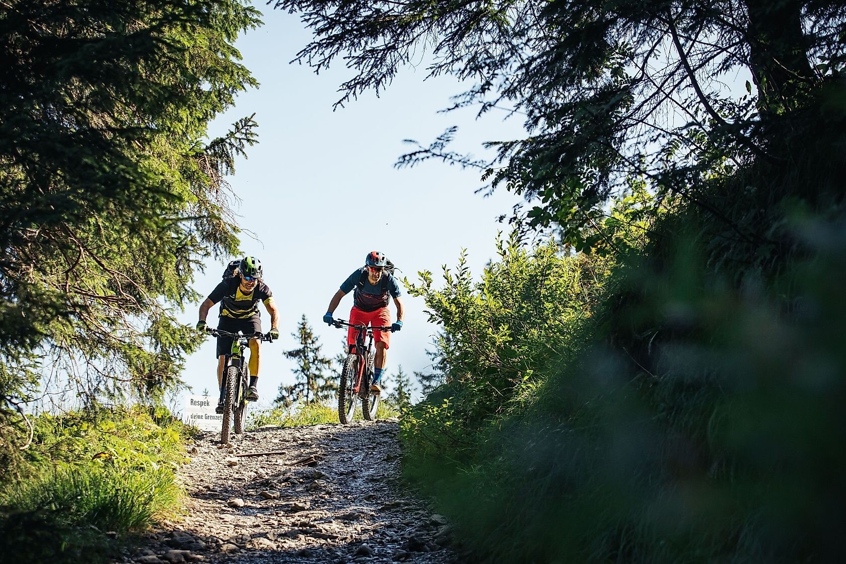
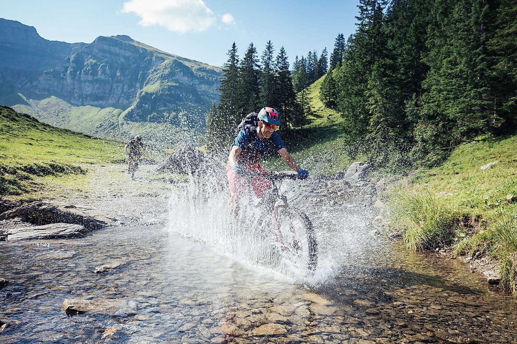
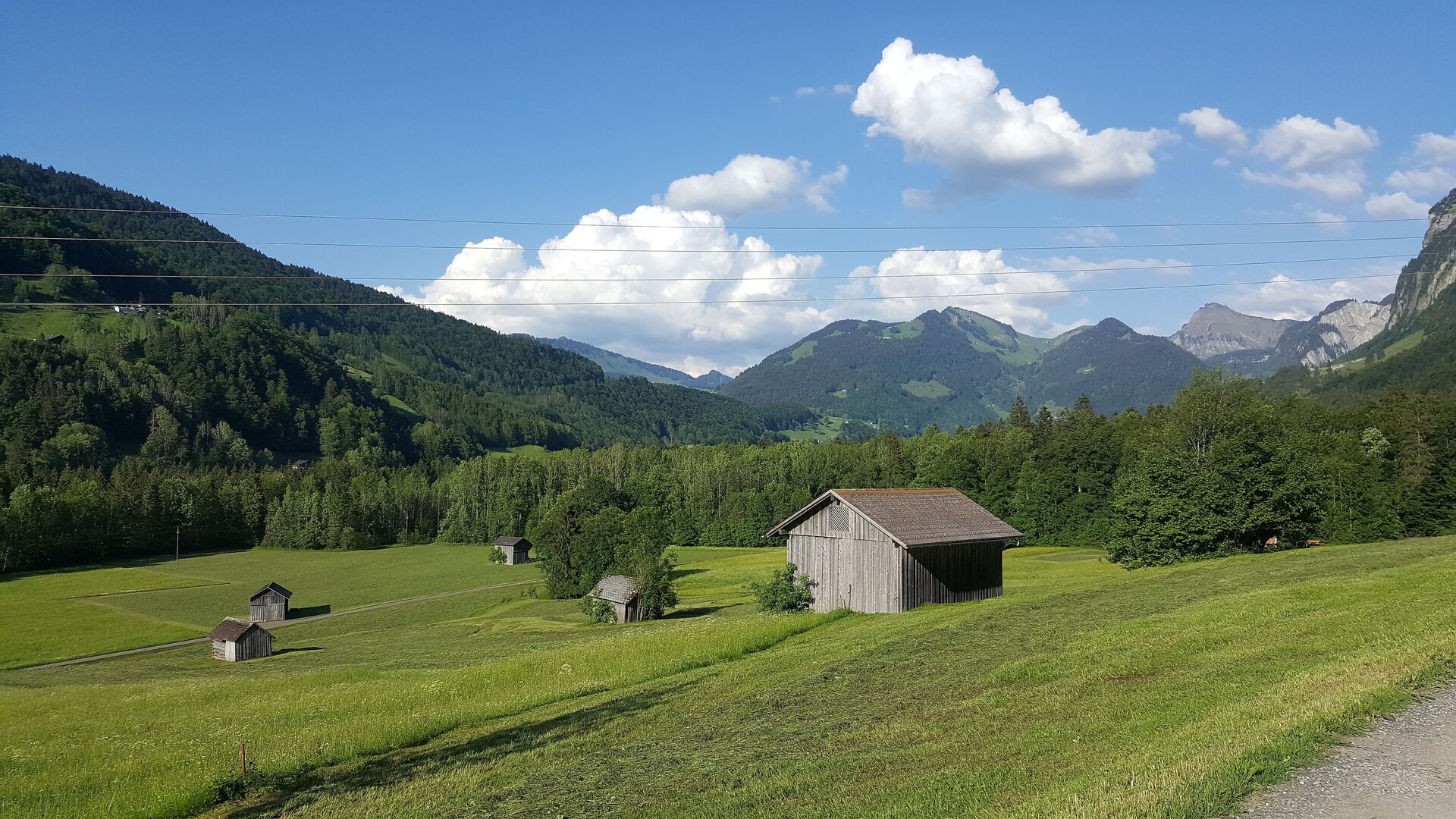
From the starting point in Mellau, you first ride along the bike path to Au. There, the climb begins toward Damüls and then on to the Edelweiss mountain inn at Öberle, beautifully situated at the foot of the Kanisfluh. The route then continues via the Wurzachalpe and the Kanisalpe to Roßstelle, where the Mellaubahn’s upper station is located. From there, an alpine trail leads up to the Wildguntenalpe, and you then cycle down through the Mellental valley on a farm road back to Mellau.
Public Transportation
www.vmobil.at
Parking
Parking available at the municipal office
Directions
This tour is a classic in the Bregenzerwald! Starting in Mellau, follow the Bregenzerwald bike path through Schnepfau to Au. After a short climb on the state road toward Damüls, turn right onto a forest road that leads through a shady forest up into the alpine region at the foot of the Kanisfluh. The highest point is reached at the Wurzachsattel. This is followed by a descent to the Kanisalpe and a single trail (Note: this is also the hiking trail!) to Roßstelle (the upper station of the Mellaubahn). From the Roßstelle, an alpine trail leads up to the Wildguntenalpe, and you then cycle down to Mellau on a farm road.
Safety Instructions
Mountain bike trails lead through terrain that places special demands on riders’ personal responsibility. For example, rocks and trees can suddenly block the trail, or the trail may wind through steep terrain past hazardous spots where there is a risk of falling. Due to forest and alpine pasture management activities, you should also expect oncoming traffic, parked vehicles, or trail closures at any time. When mountain biking, it is important to follow certain rules of conduct to avoid conflicts with other user groups and to ensure your own safety. These include, above all:
- Riding responsibly at a controlled speed and within half your field of vision, especially on curves, as obstacles can be expected at any time: rocks, branches, trail damage, temporarily stored wood, grazing livestock, pasture gates, barriers, vehicles and forestry machinery, trail closures, etc.
- Hikers and pedestrians have the right of way. Overtaking must be done considerately at walking speed.
- Agricultural and forestry operations take precedence on the open trails. Close pasture gates behind you, and observe temporary trail closures.
- Do not stray from the designated, marked trails. This helps protect natural habitats and wildlife.
- Good trip planning takes into account the difficulty of the route and your own skill level. This also includes a helmet, protective gear, and a mountain bike in perfect working order.
EMERGENCY NUMBERS:
140 for alpine emergencies throughout
Austria; 144 for alpine emergencies in Vorarlberg
; 112 for the European emergency number (works with any cell phone/network)
; www.vorarlberg.travel/sicherheitstipps
Equipment
- Weather-appropriate, functional cycling apparel
- Helmet
- Sun protection
- Snacks & plenty to drink
- Backpack
- First-aid kit
- Phone
- Cash
- Information on current weather conditions
- Air pump
- Repair kit/tools
- Spare inner tube
- Road map
Bibliography
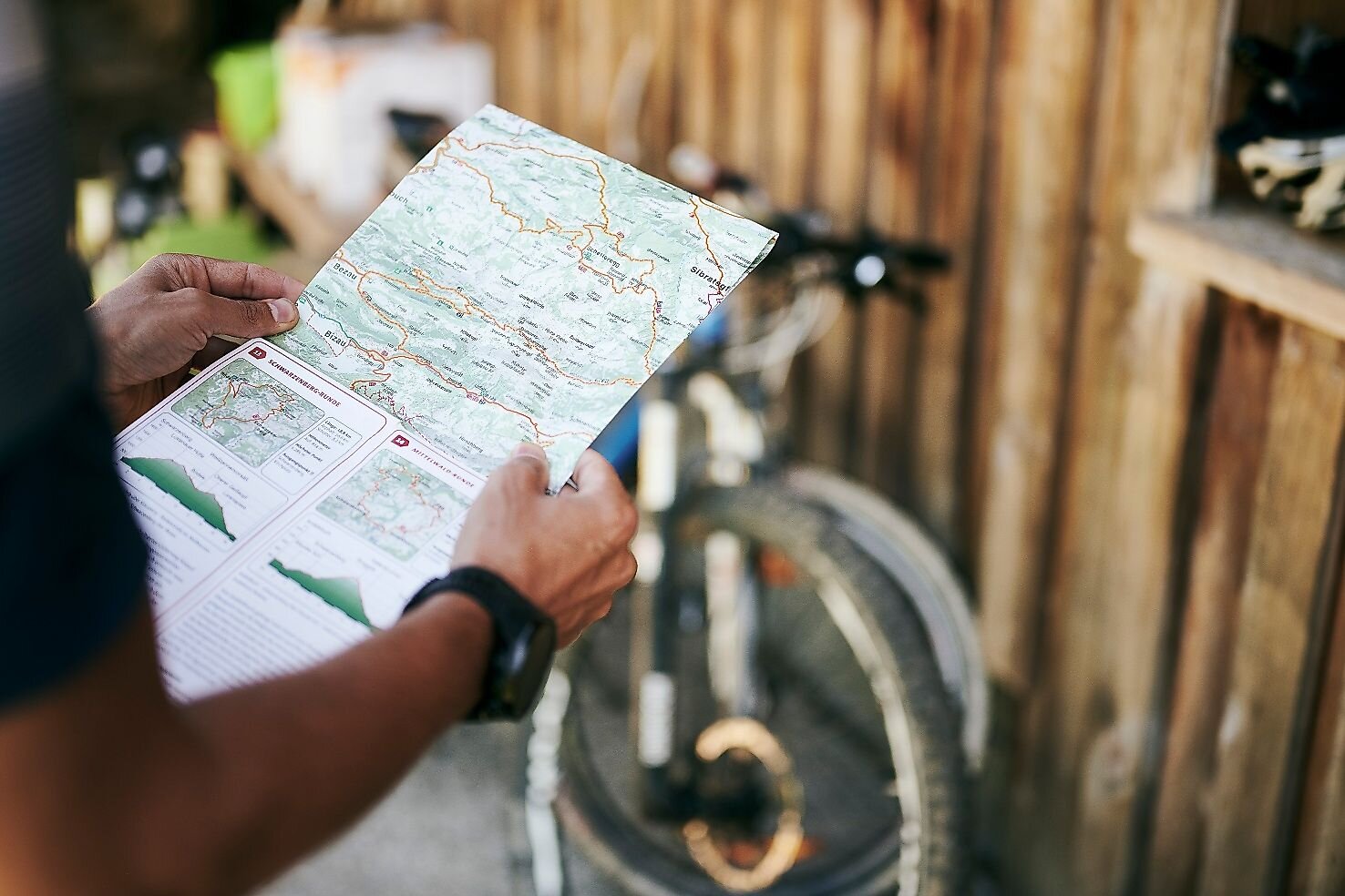
The Bregenzerwald mountain bike map, at a scale of 1:50,000 and featuring 20 top routes, is available at local tourist offices, Bregenzerwald Tourism, and sports shops.
Objective
Mellau Town Center
Home
Mellau Town Center
Requirements
- Experience 4 detail.requirements.value
- Landscape 4 detail.requirements.value
Details
- Spring
- Summer
- Fall
Location
Publisher / Copyright: Bregenzerwald – (c) CC BY-ND Bregenzerwald / Elisabeth Schneider