


Idyllic pond hike and animal fun at the Affenberg
Description
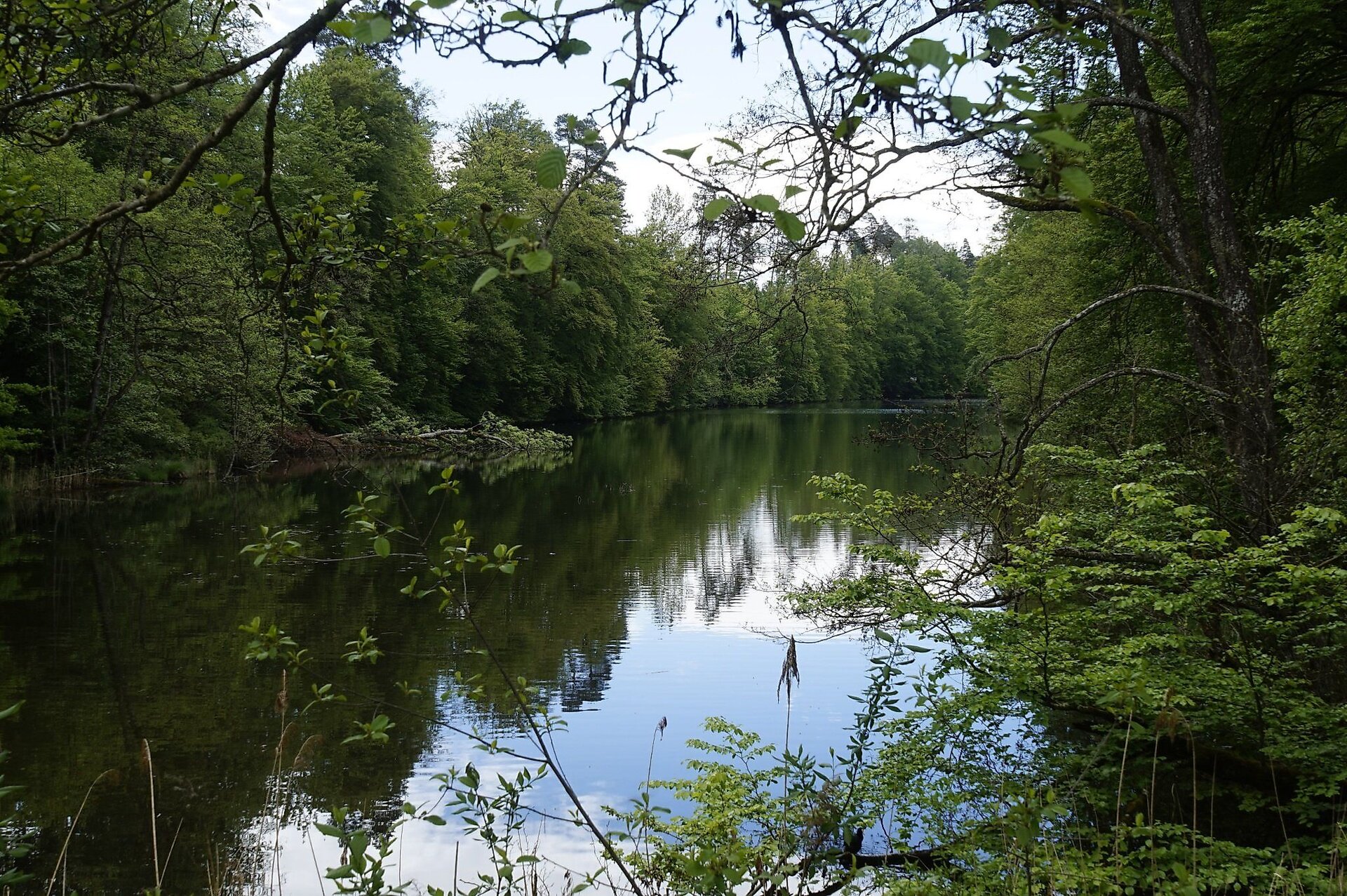
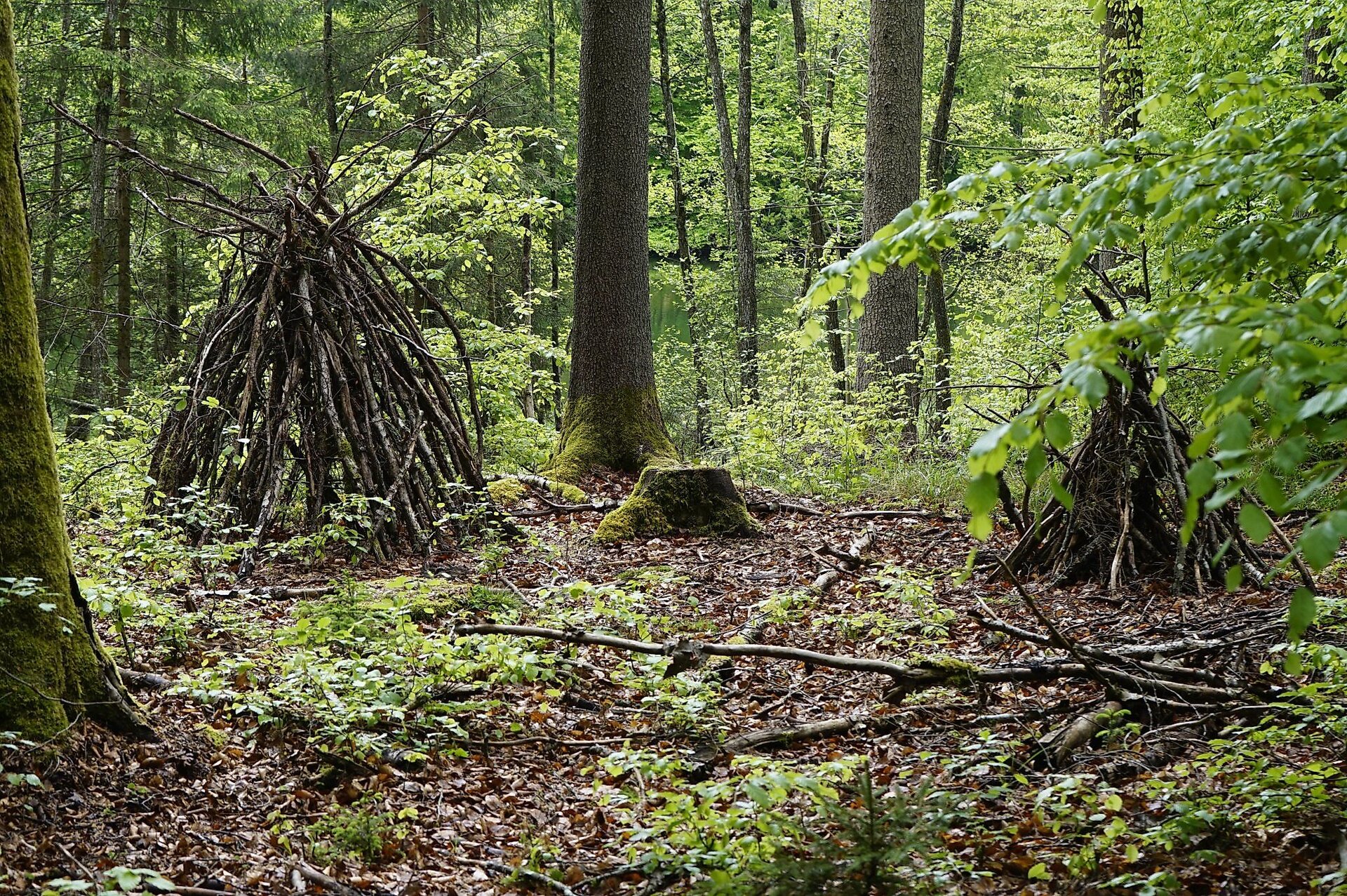
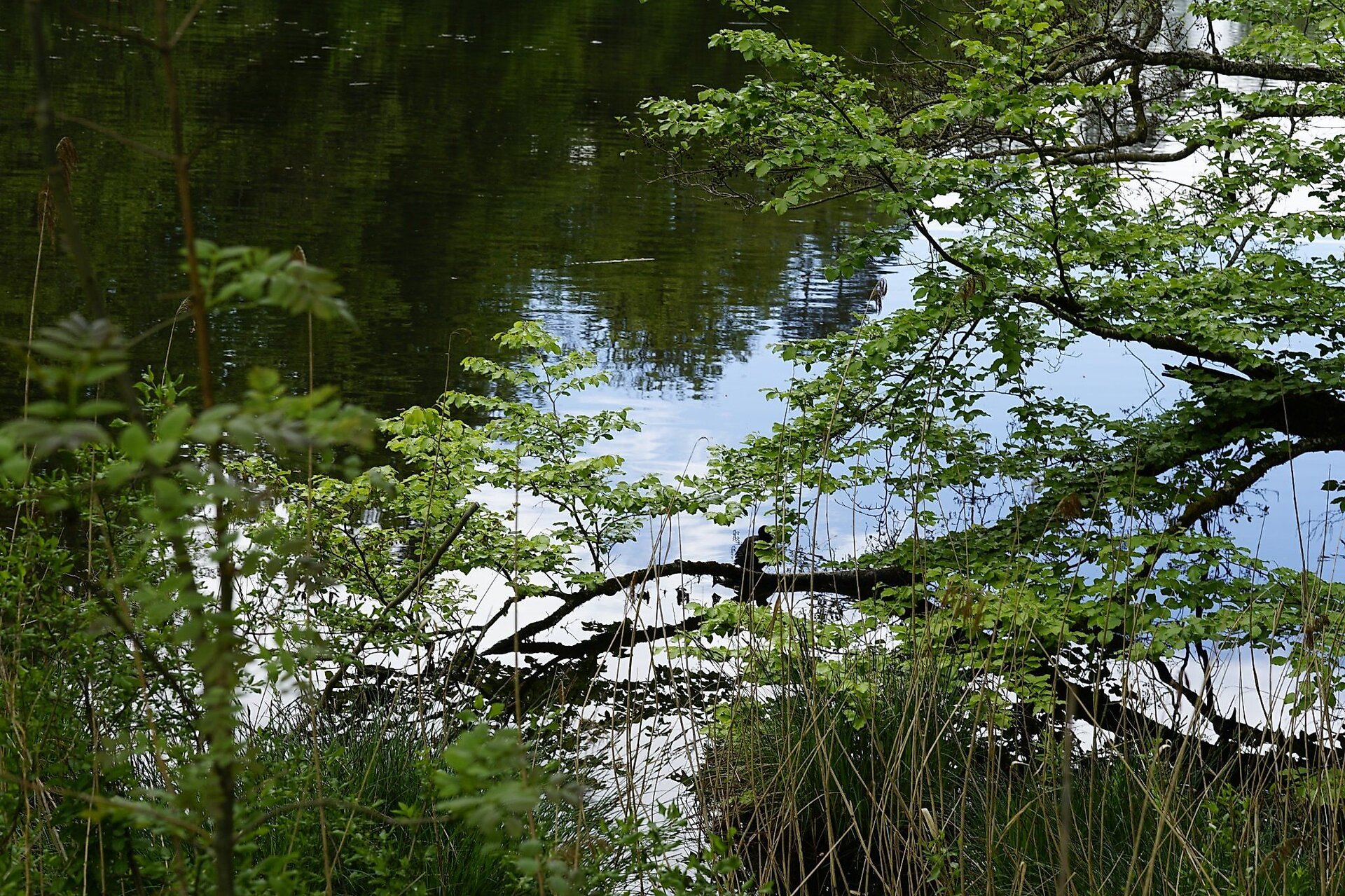
You love wandering through forests, taking enchanted paths, letting yourself be continuously inspired by new impressions of nature, and enjoying the peace in the woods and by ponds? Then this hike is the perfect choice for you.
Abstract
You love wandering through forests, taking enchanted paths, letting yourself be continuously inspired by new impressions of nature, and enjoying the peace in the woods and by ponds? Then this hike is the perfect choice for you.
Description
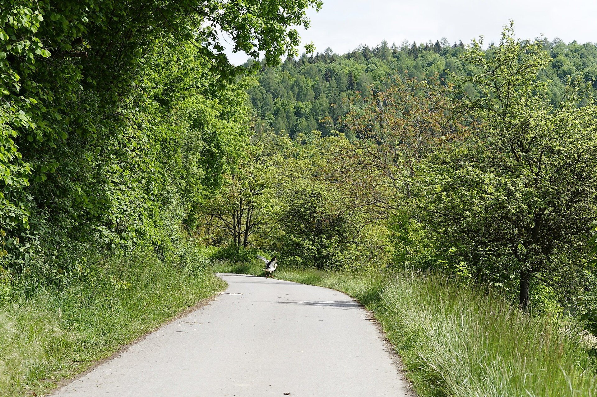
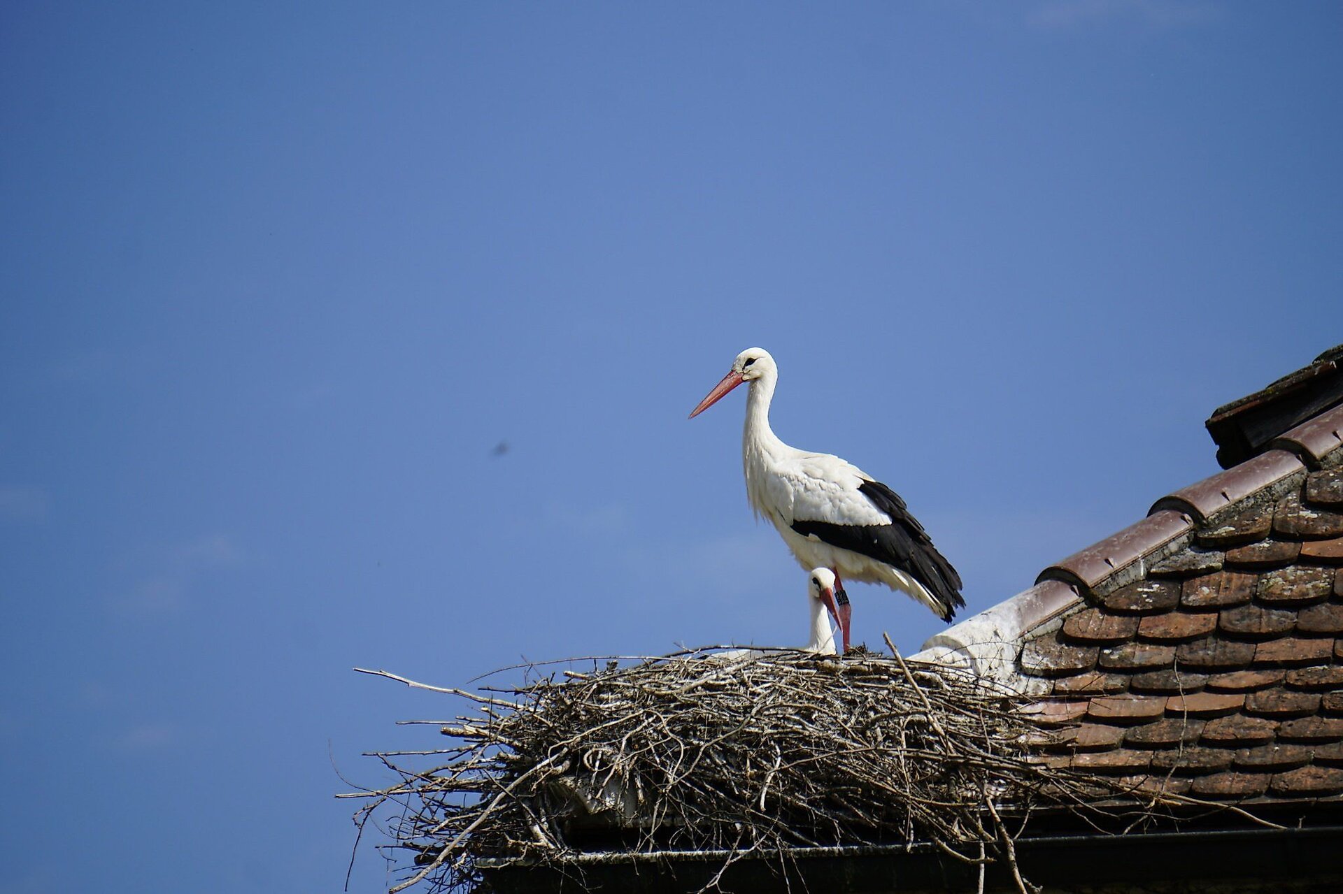
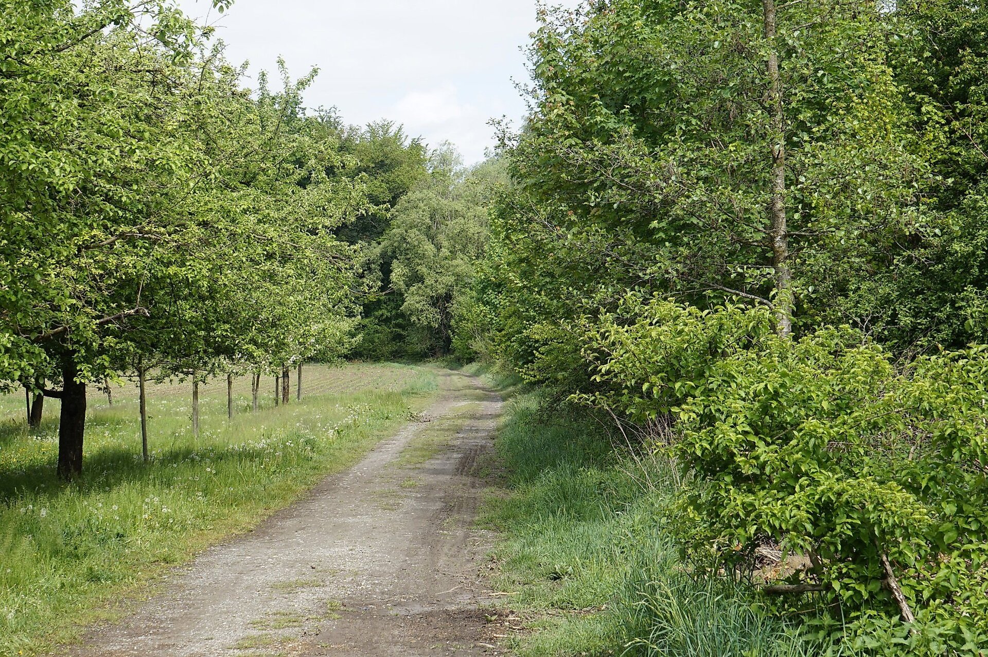
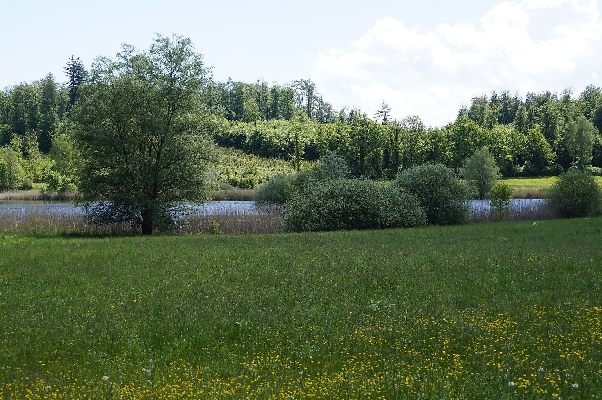
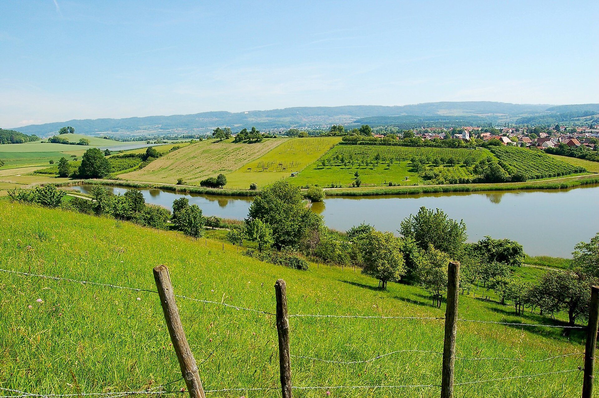
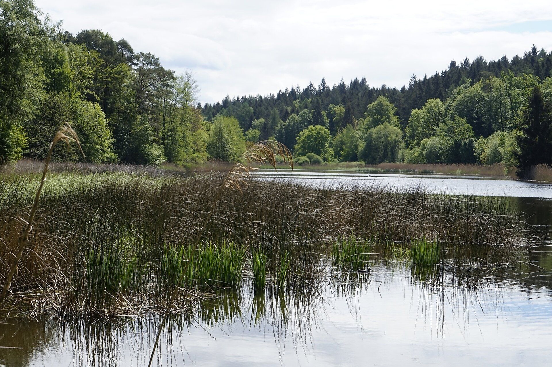
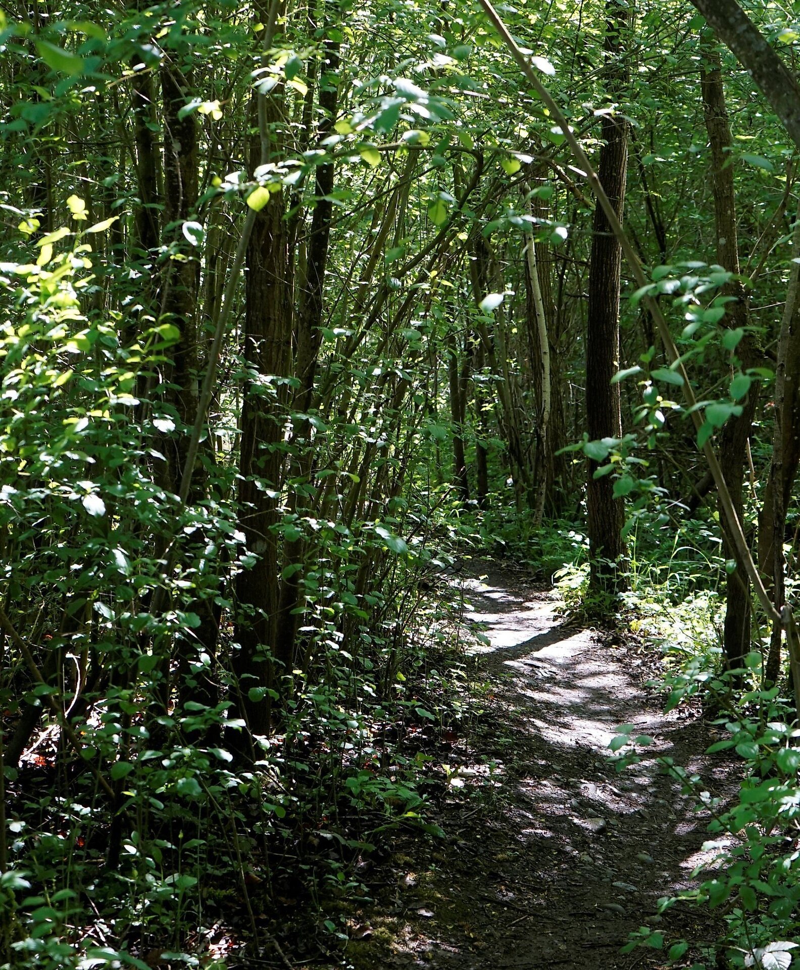
This circular route impresses with its diversity: pure nature with lots of bird song, lively Barbary macaques and curious storks at the Affenberg, idyllic paths along the romantic Salemer monastery ponds, and the charm of past centuries on the Prälatenweg. This path was used as an economic route to Lake Constance by the Cistercian monks of Salem around 1150 and later as a processional way around 1750.
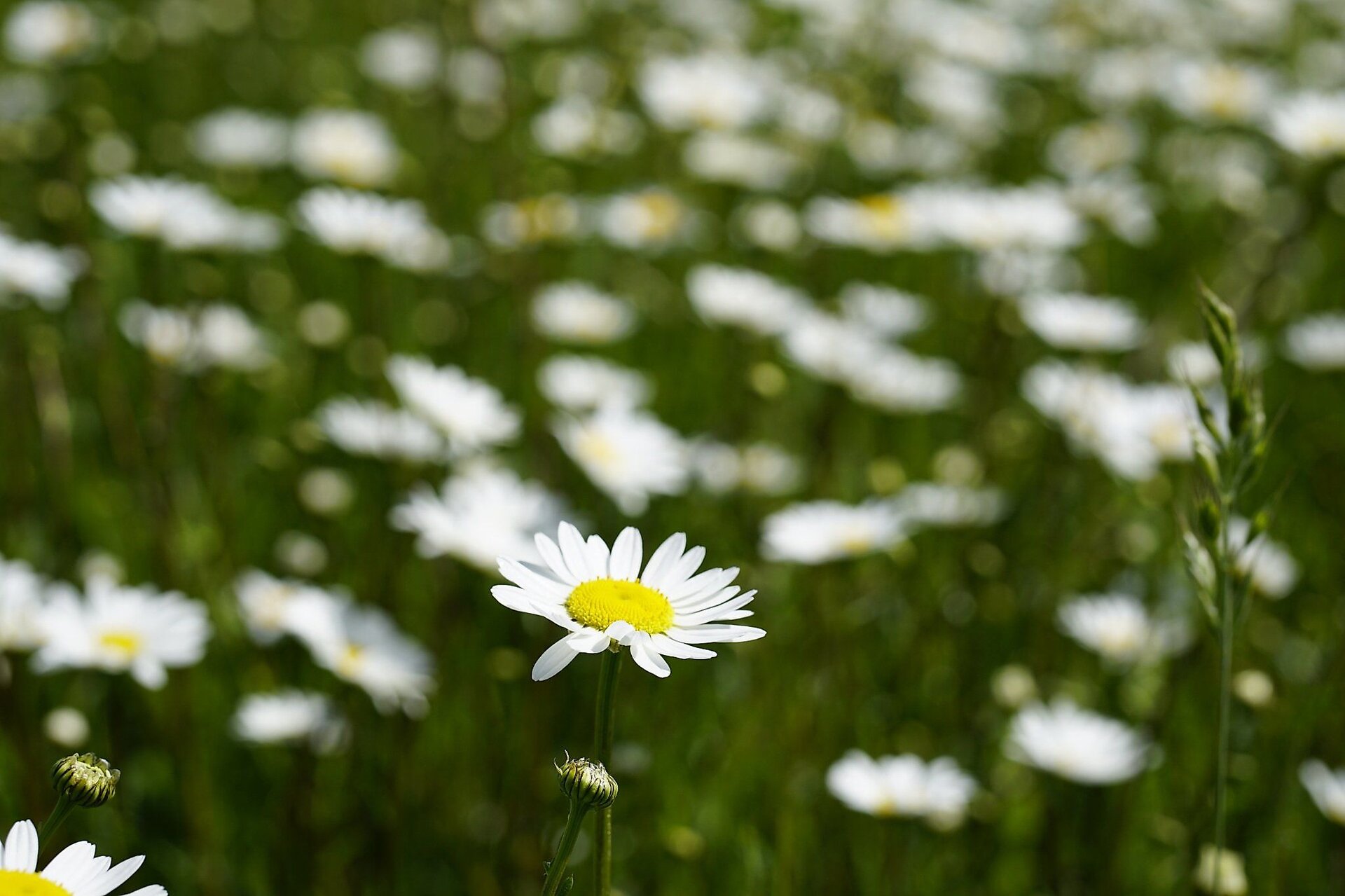
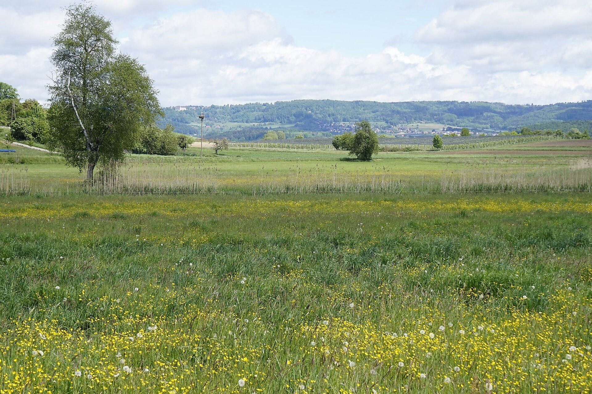
The hike is a feast for your senses: in spring, your eyes cannot get enough of the fresh green of the forest, the blooming meadows, and fruit trees; in summer, the forest provides pleasant shade; and in autumn, the brightly colored leaves delight you.
The path is easy to walk. At first, you walk on paved streets through a residential area; later, you walk on gravel and forest paths.
Due to the narrow paths along the monastery ponds, the route is only conditionally suitable for families with a stroller.
The Tourist Information Uhldingen-Mühlhofen wishes you lots of fun hiking.
Tip
Plan the hike as a day trip and visit the Affenberg along the way. Use the idyllic benches on the path for a rest and enjoy the wonderful nature.
Directions
Your hike begins at the parking lot at the location of the German Red Cross in Mühlhofen. From the parking lot, turn right onto the Kanalweg and reach the roundabout in Mühlhofen, near the Gasthof Sternen and the Bodensee Hotel Kreuz. You follow the hiking trail toward Nellenfurt and Birnau Monastery through the Kirchstraße and the Weitfeldstraße, where the railway tracks are underpassed at the beginning.
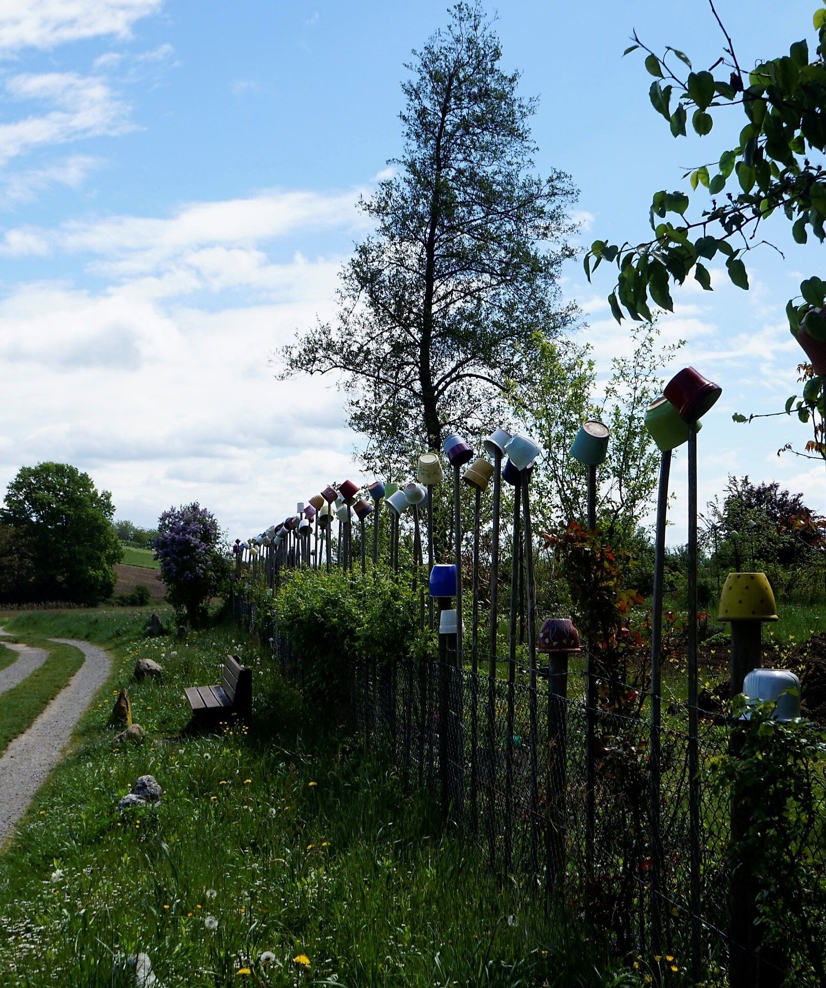
After leaving the village, you reach a crossroad. Go straight ahead there until you reach a cross street, where you follow the opposite field path to the forest. Now go steeply downhill and straight ahead directly along the shore of the Kaltbrunnweiher until you reach a paved cross path. Here, walk right, always straight ahead, until after approx. 1 km, you turn right at the third branch and continue over a dike between two romantically situated ponds. A bench invites you to rest here. Continue left along the upper pond. At the end of the pond, you reach the Prälatenweg, on which you continue hiking upwards to the right. After leaving the forest, the Prälatenweg leads between fields and meadows directly to the Affenberg.
Here, you have the opportunity to stop for a snack, and the Barbary macaques look forward to your visit (for a fee).
Behind the entrance area to the Affenberg, the hike continues right along a narrow path. You follow this path into the forest. At a fork, keep right and soon reach a paved street. Turn right here and turn right again into the first forest path. This path is marked with a no passage sign. A narrow trail leads you left along the edge of the Markgräfinweiher. This trail ends at the end of the pond in a wider path, which you follow straight ahead along the shore of the Martinsweiher. At the small forest parking lot, continue straight ahead; after another 250 m, a path branches off to the left, which you follow until just before the Bifangweiher. Take the first branch left and then immediately right along the left shore of the Bifangweiher until you can see a fallow deer enclosure on the left hillside. Here your hike turns right. Continue over a dike and a footbridge between two ponds to the opposite shore. There, turn left along the field path along the pond. At the next crossing, go right, slightly uphill toward Mühlhofen. Follow this path straight ahead and after a left curve, back into the forest, where you reach a wider path, which you follow. At a fork, turn left. Shortly after, you reach a larger intersection. Continue straight ahead. At the next branch, go left, where the hiking trail sign toward Mühlhofen leads you past the Olsenweiher to the main road. This road connects Uhldingen with Salem. Cross the road and enter the Selsenbergstraße. After about 400 m, on an idyllic path, you reach the Grasbeurer Straße, where you turn right and return to the roundabout. Then turn left into Kanalweg and return to your starting point, the parking lot at the location of the German Red Cross.
End point
Gear
Sturdy footwear, thirst quencher, possibly snack for breaks, as well as sun and insect/tick protection.
More information
Points of Interest:
- The Affenberg, home to over 200 lively Barbary macaques, countless storks, deer, and roe deer.
- Aach Island in Uhldingen-Mühlhofen, a place to relax, picnic, and play boule.
Tip:
Entry to the Affenberg is already included in the BodenseeCard Plus. For more information, see BodenseeCard Plus, at the Tourist Information Uhldingen-Mühlhofen, or other pre-sale points.
For children:
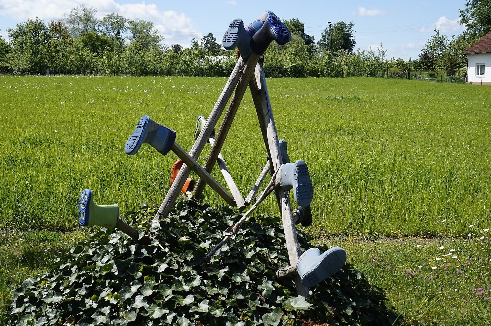
- Adventure playground Affenberg
- Playground Aach Island in Mühlhofen
We at the Tourist Information Uhldingen-Mühlhofen are here for you with all questions about your lake holidays and wish you a wonderful time with us. Take wonderful memories of your experiences in our lakeside community home and share them with your family and friends.
Attention nature lovers: You love discovering our beautiful Lake Constance region and are bothered by litter? We gladly provide you year-round with our reusable Lake Constance CleanUP kits during our opening hours for pickup at the tourist office. Feel free to stop by and make a difference for a clean, litter-free region!
Parking
Car:
- Parking lot at the German Red Cross, Kanalweg 1, 88690 Uhldingen-Mühlhofen, district Mühlhofen (free of charge)
- Parking lot on Kirchstraße, Kirchstraße 2, 88690 Uhldingen-Mühlhofen, district Mühlhofen (Monday-Friday from 8:00 a.m. to 6:00 p.m.: 2 hours only with parking disc, Saturday & Sunday/holidays: all day without parking disc)
Public transit
Arrival by train:
Uhldingen-Mühlhofen station, Bahnhofstraße 17 in the district of Oberuhldingen, 88690 Uhldingen-Mühlhofen
Good to know: Hourly connection to Mühlhofen with line 7383, line 111, or line 7397 from the bus stop "Uhldingen-Mühlhofen, Bahnhof".
Deutsche Bahn timetable information
Arrival by bus:
Line 7383: Bus stop "Mühlhofen, Sternen"
Line 7397: Bus stop "Mühlhofen, Sonne"
Line 111: Bus stop "Mühlhofen, Kirche"
Safety information
Please note: Most paths on this hike are not maintained in winter and are therefore not cleared!
Parts of the trail pass through residential areas, please watch out for cars. Some paths are used agriculturally, please watch out for tractors.
Start point
Sesion
- April
- Mai
- Juni
- Juli
- August
- September
- Oktober
Requirements
- Condition 2 detail.requirements.value
- Experience 3 detail.requirements.value
- Landscape 3 detail.requirements.value
- Technique 2 detail.requirements.value
Details
- Spring
- Summer
- Fall
Location
Publisher / Copyright: Tourist-Information Uhldingen-Mühlhofen – CC BY-SA 4.0 Tourist-Information Uhldingen-Mühlhofen