


Hochgerach 1,985 m | Thüringerberg
Description
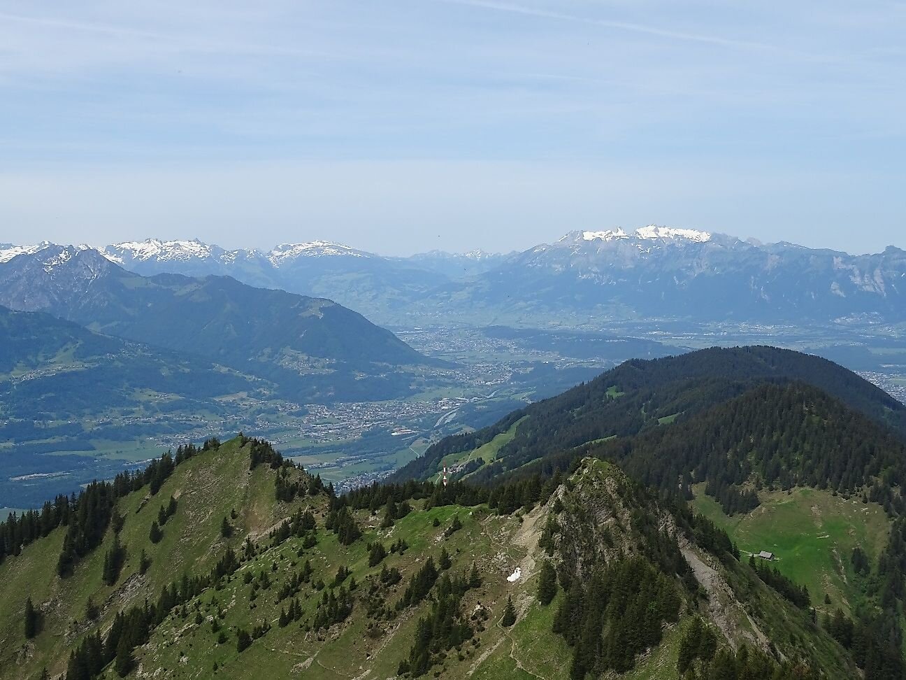
The Hochgerach is the second highest mountain of the Walserkamm and a worthwhile peak.
Description
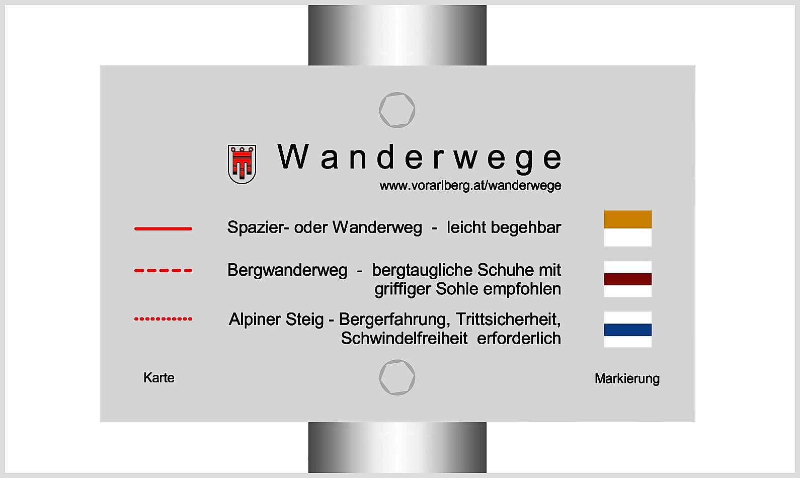
From the center of Thüringerberg, the trail leads over the Außerberg and the Kapiescha district up to the Inner Alpila Alpe. From here it is still about 400 m of ascent to the summit of Hochgerach. A head for heights and surefootedness are required for the ascent of the summit. The descent leads the first part over the same path and then over the Äußere Alpila Alpe and the Gampelin Alpe. Via the Außerberg back to the starting point in Thüringerberg.
Brief description
The Hochgerach is the second highest mountain of the Walserkamm and a worthwhile peak.
Public transport
Bus line 570, stop "Thüringerberg Gemeindezentrum"
Timetable information at www.vmobil.at
Parking
Public parking lot in Thüringerberg
Directions
Thüringerberg - Außerberg - Kapiescha - Innere Alpila Alpe - Hochgerach - hiking trail via Äußere Alpila Alpe - Gampelin Alpe - Außerberg - Thüringerberg
Safety instructions
EMERGENCY CALL
140 Alpine emergencies Austria-wide
144 Alpine emergencies Vorarlberg
112 Euro-emergency call (works with any mobile phone/network)
Equipment
Ankle-high hiking boots with treaded soles, sun and rain protection, snack, filled water bottle, first aid kit and hiking poles are recommended. Mobile phone in case of emergency.
Tips
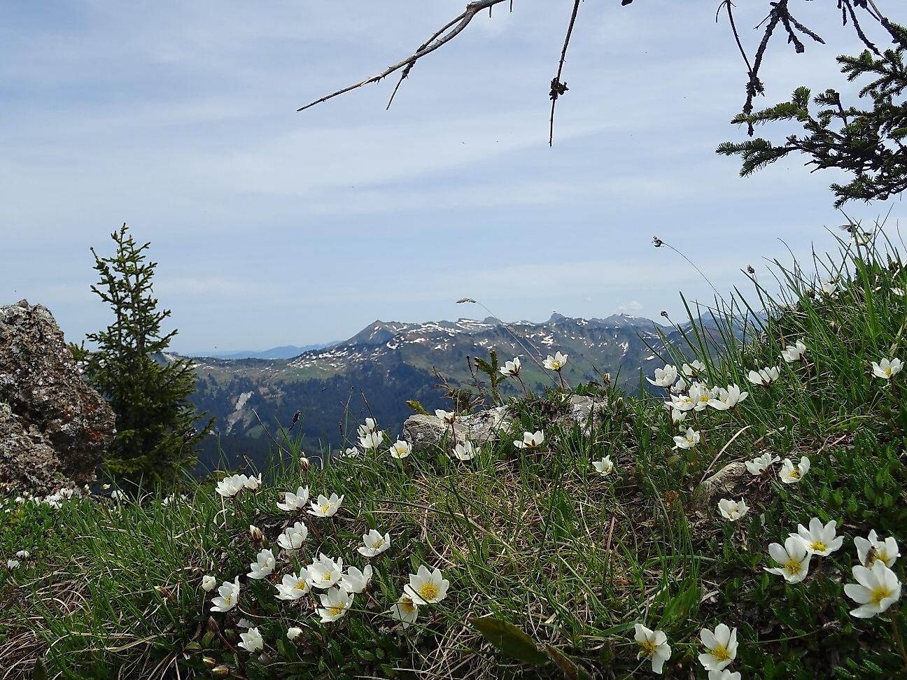
This tour requires a head for heights and surefootedness, but the mountain panorama is breathtaking.
The hike up the Hochgerach can also be started from the mountain station of the Schnifis cable car and is then correspondingly shorter.
Requirements
- Condition 5 detail.requirements.value
- Experience 5 detail.requirements.value
- Landscape 5 detail.requirements.value
Details
- Summer
- Fall
Location
Publisher / Copyright: Alpenregion Bludenz Tourismus GmbH – (c) CC BY-ND Alpenregion Bludenz Tourismus GmbH / Melanie Fleisch