


AT
Gravel tour Großes Walsertal
Description
Ludesch - Raggal - Marul - Alpe Laguz - Sonntag - Fontanella - St. Gerold - Ludesch
Wegbeschreibung
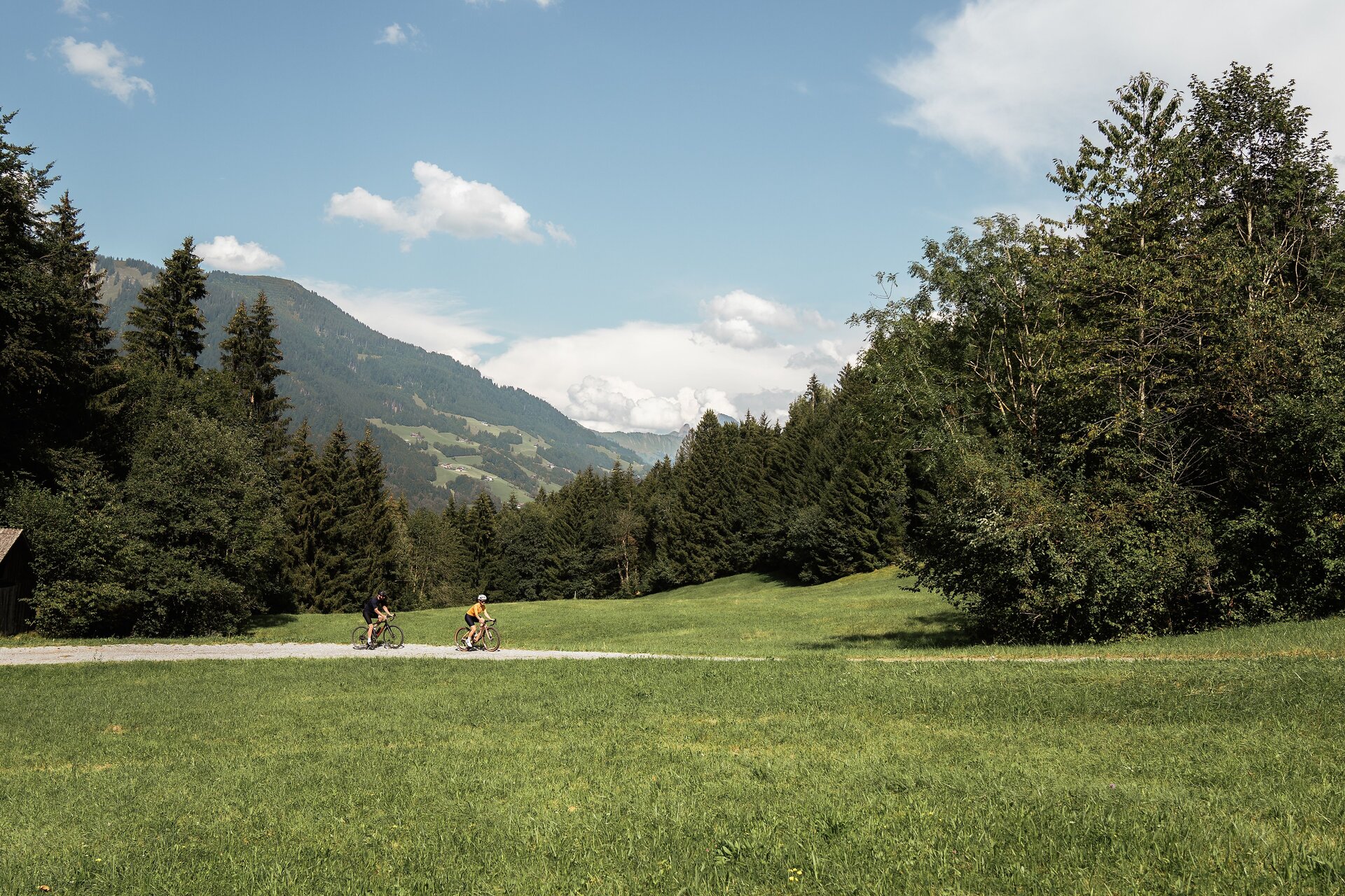
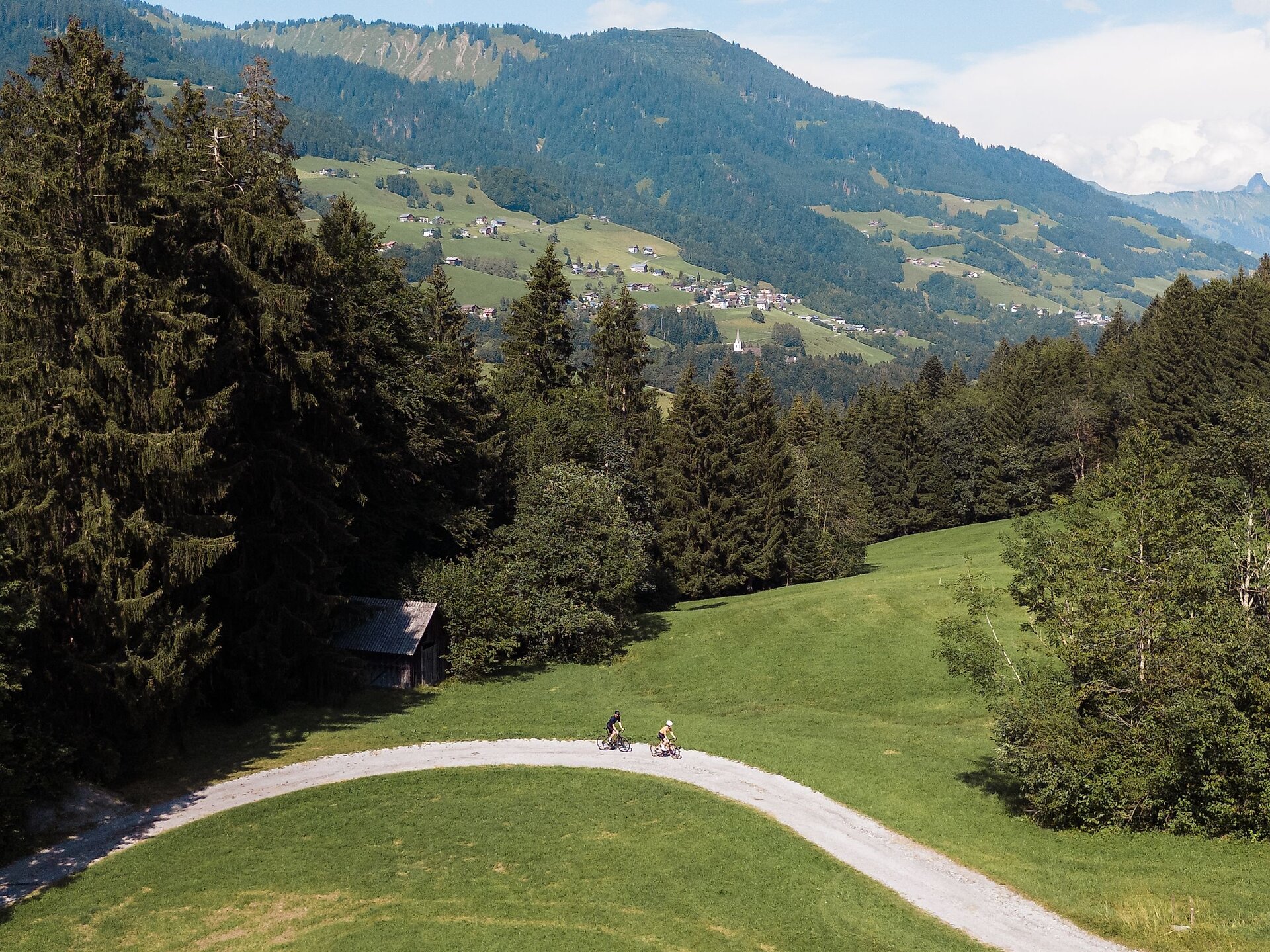
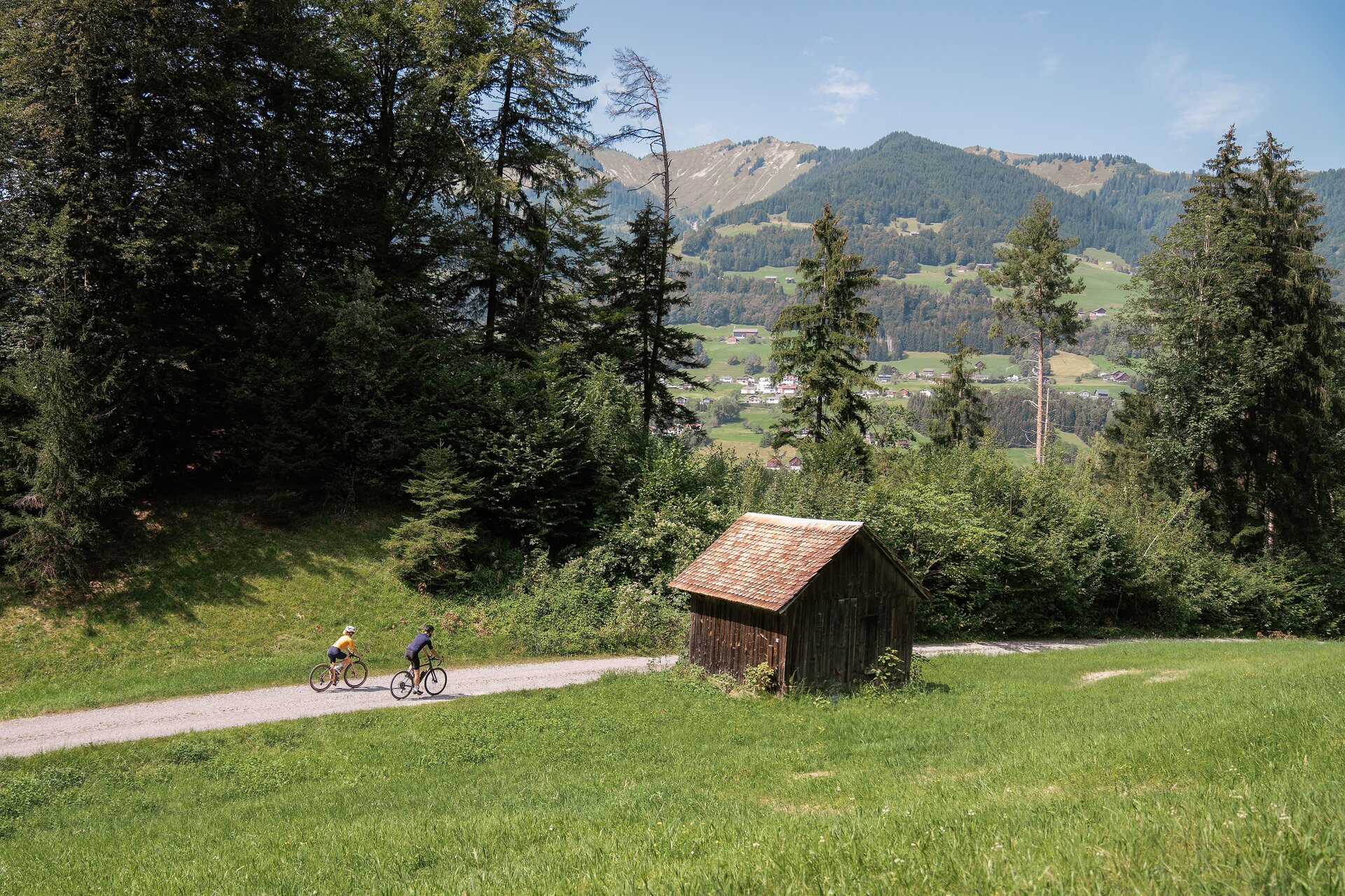
From Ludesch, the first 2.5 kilometers are on an asphalt road towards Raggal. From there, the route heads off on the first gravel section of the day and leads to the town center. After a short first descent, the longest climb of the day awaits. First, the route follows an asphalt road towards Marul. The gradient initially remains in the single-digit percentage range. It then gets really steep on the unpaved section towards the district of Laguz - although the condition of the road is very good. After just over 18 kilometers, you can then turn off in the direction of Alpe Laguz, which awaits you in a magnificent mountain setting.
From Alpe Laguz, cycle back the few hundred meters and you are back on the route. Below the Groriggenkopf, you reach the highest point of the tour at 1.840 meters above sea level. From here, the route descends for just over 11 kilometers on a fast descent towards Sonntag. From Sonntag, the tour first leads to Fontanella, from where the route descends down via St. Gerold and Thüringerberg before returning to Ludesch.
Öffentliche Verkehrsmittel
https://www.vmobil.at/
Brief description
Ludesch - Raggal - Marul - Alpe Laguz - Sonntag - Fontanella - St. Gerold - Ludesch
Requirements
- Condition 5 detail.requirements.value
- Experience 6 detail.requirements.value
- Landscape 6 detail.requirements.value
- Technique 5 detail.requirements.value
Details
Season
- Spring
- Summer
- Fall
Location


(c) Vorarlberg Tourismus / buero balanka OG