


Gorge Hike: Dornbirn Gütle – Rappenloch Gorge – Staufensee – Alploch Gorge
Description
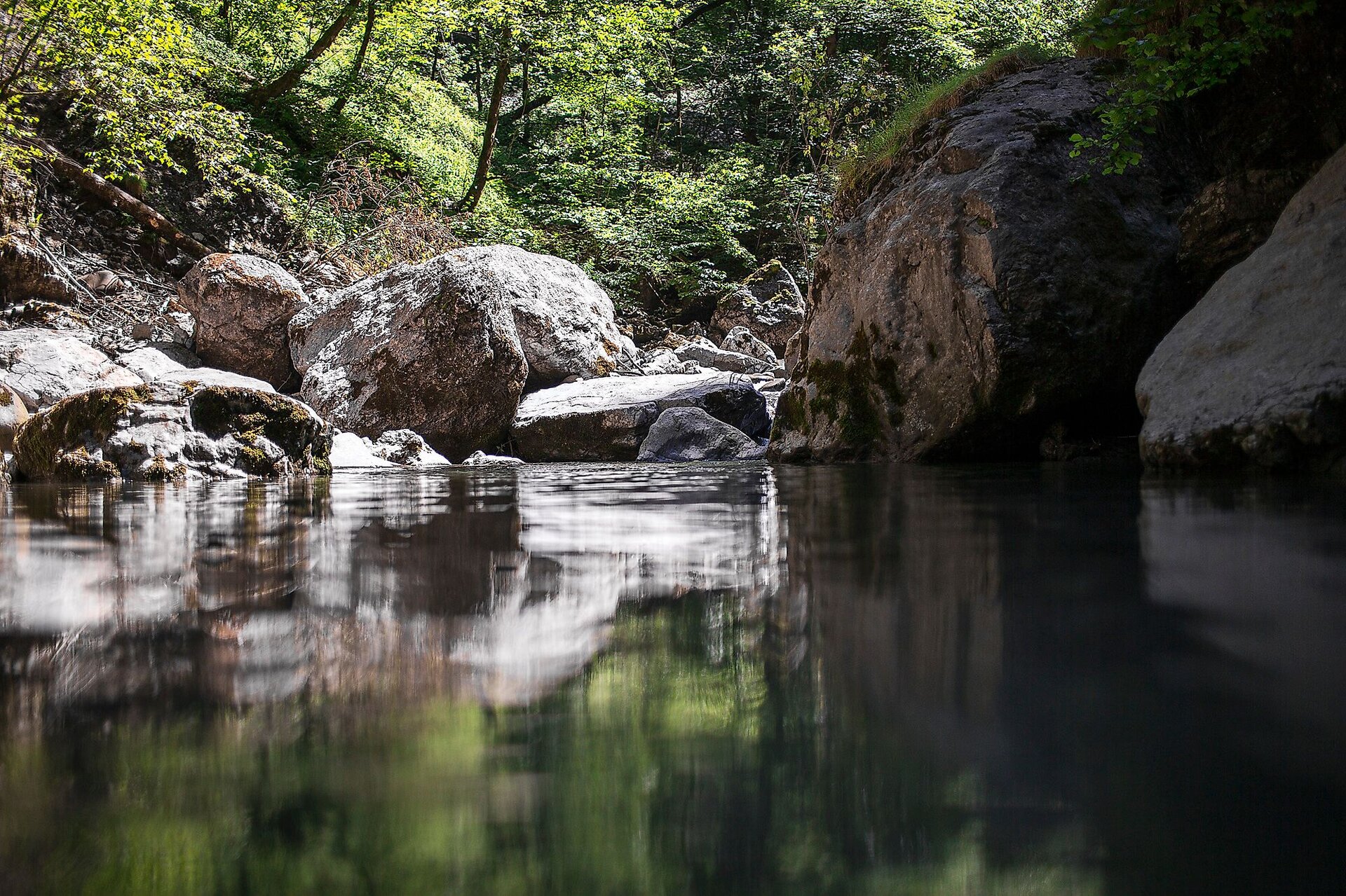
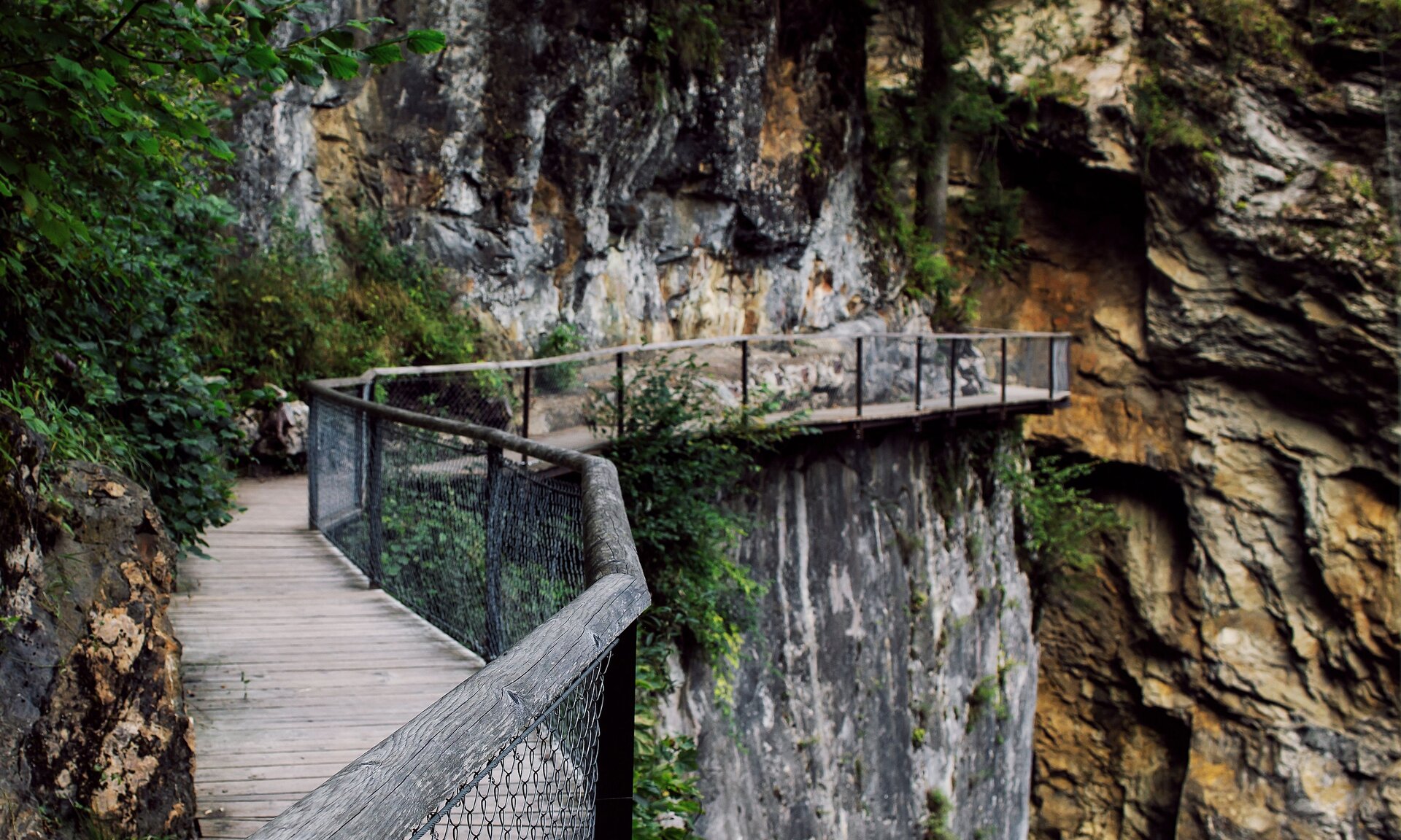
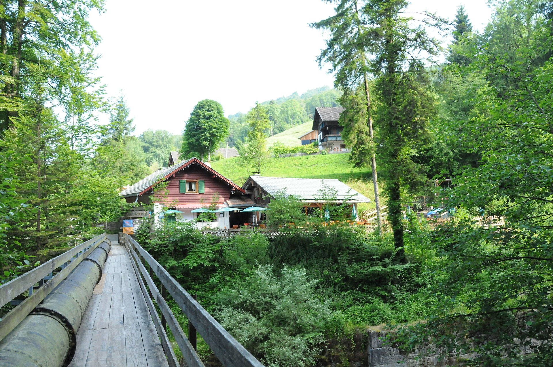
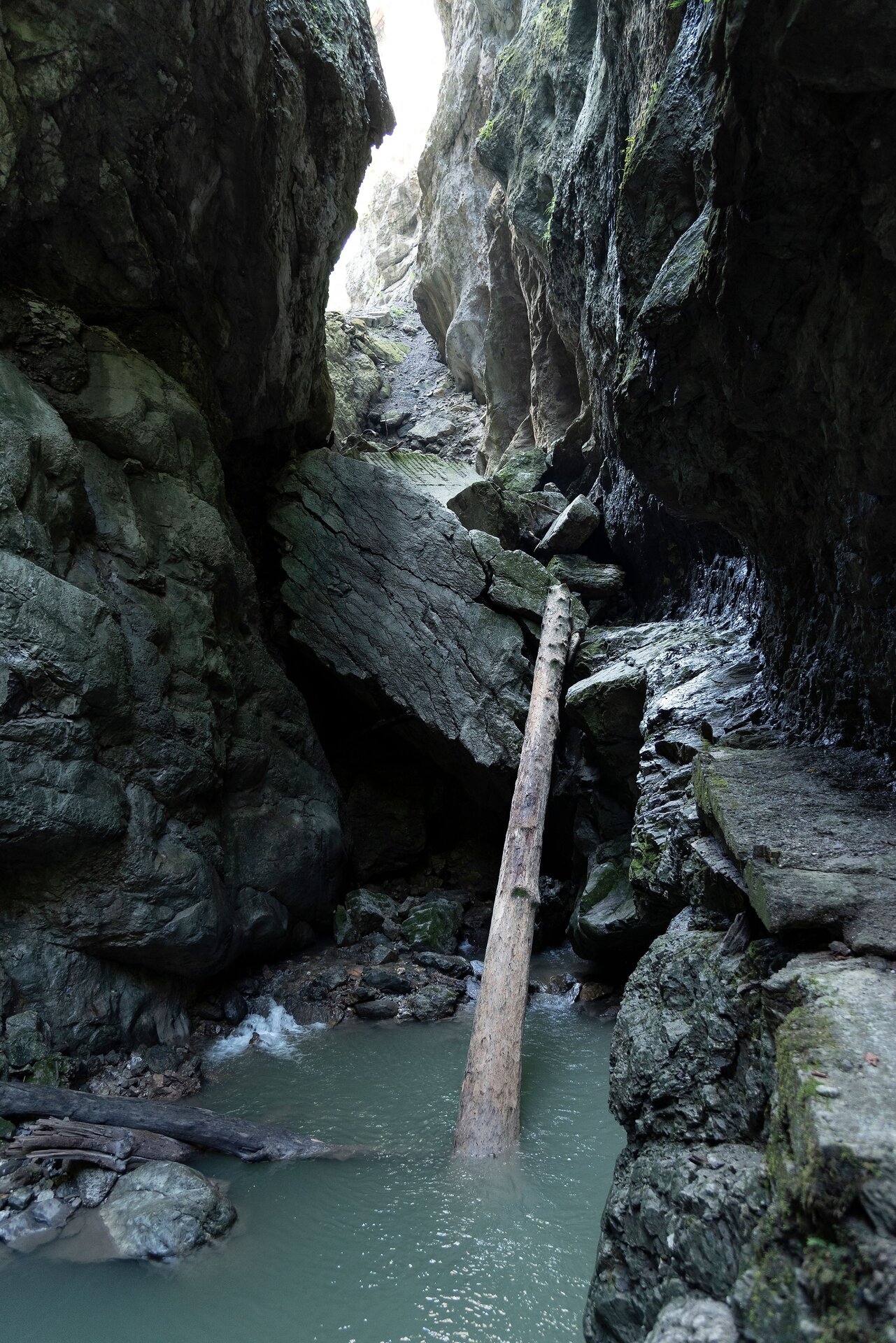
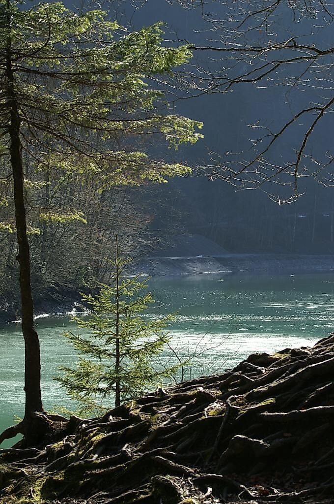
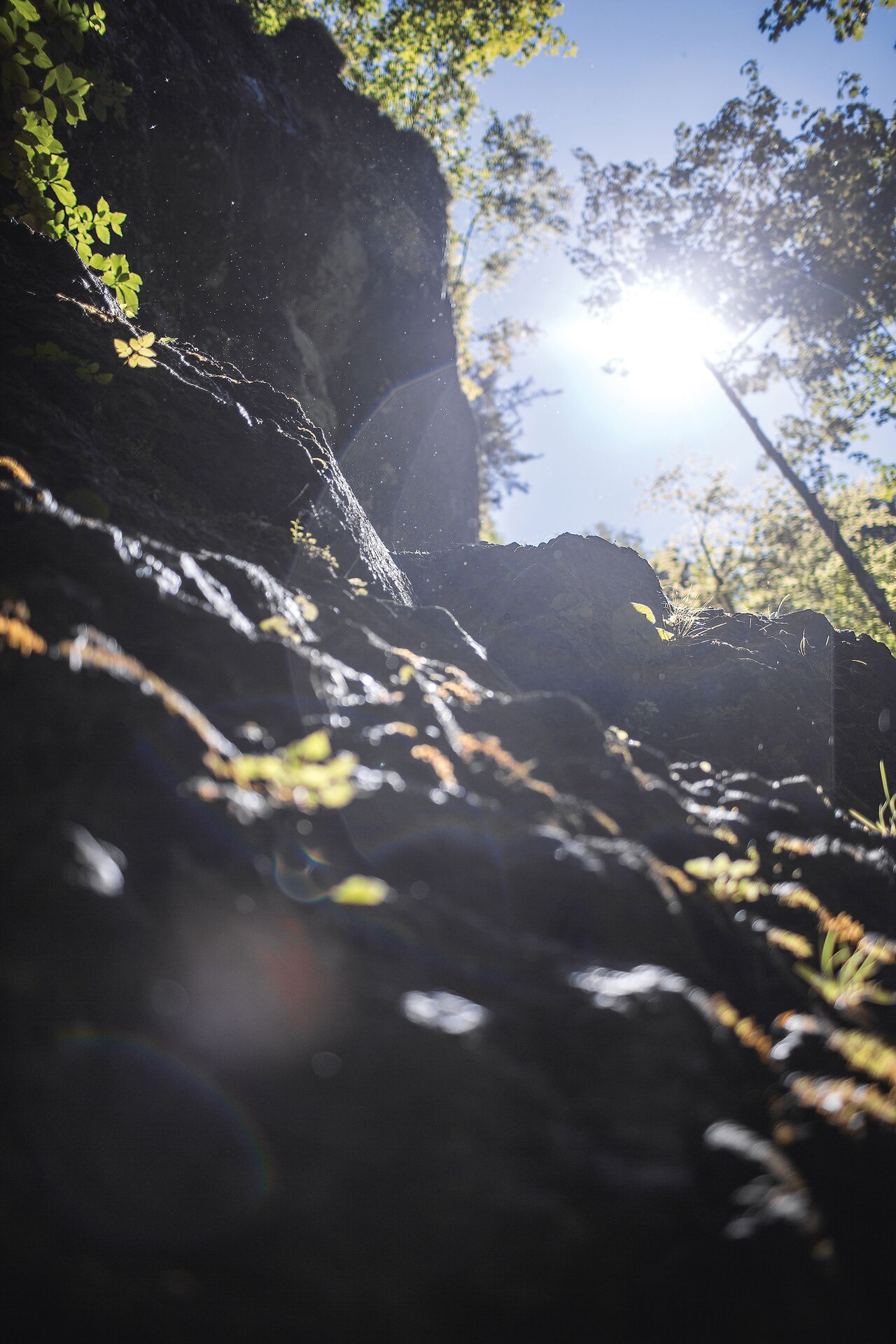
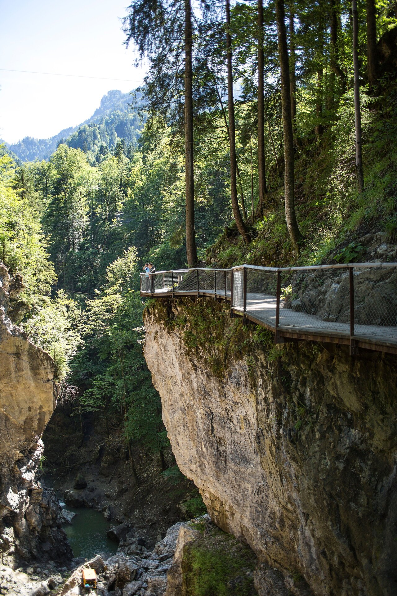
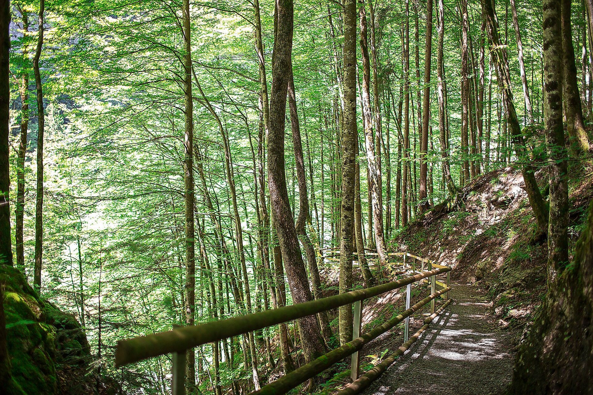
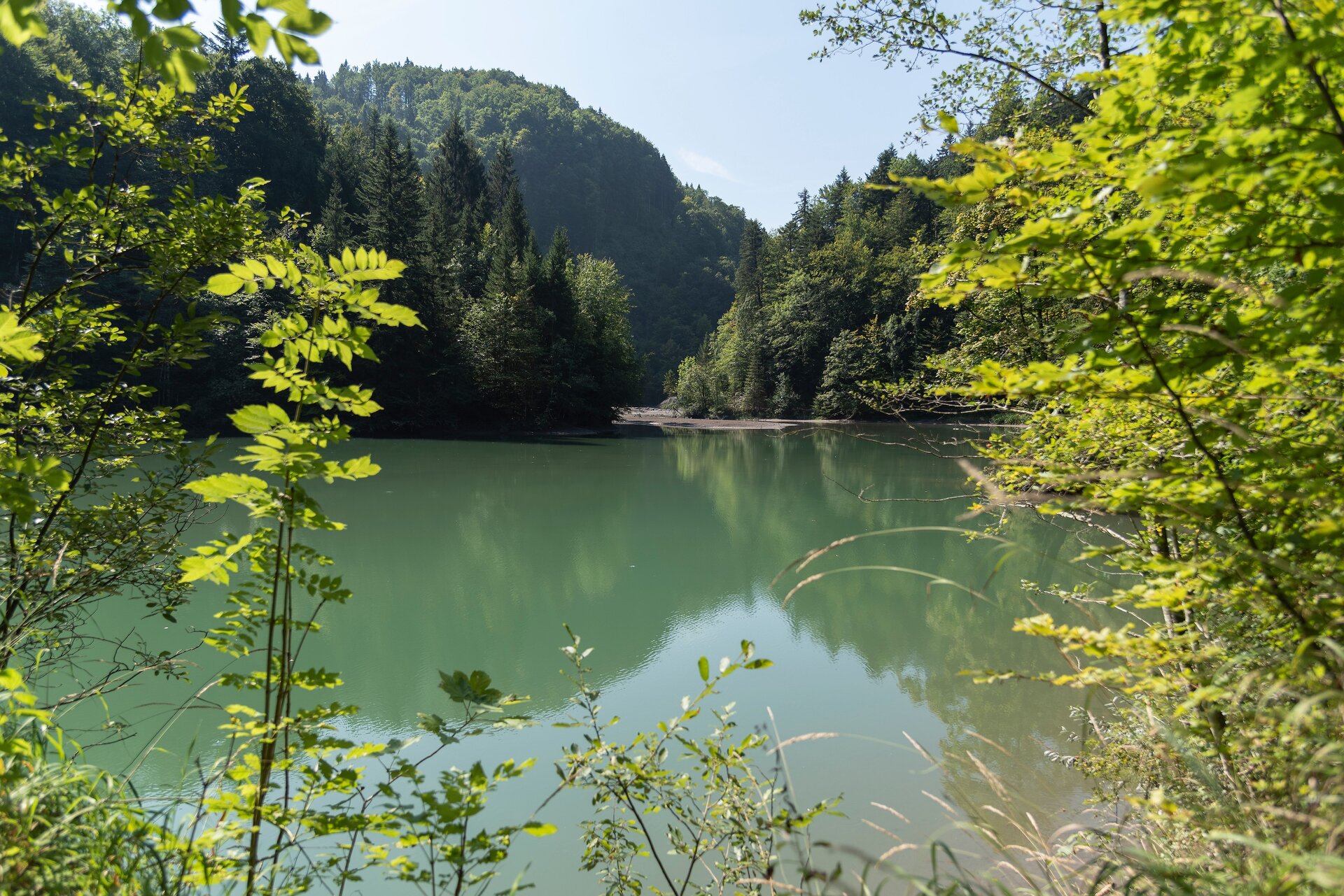
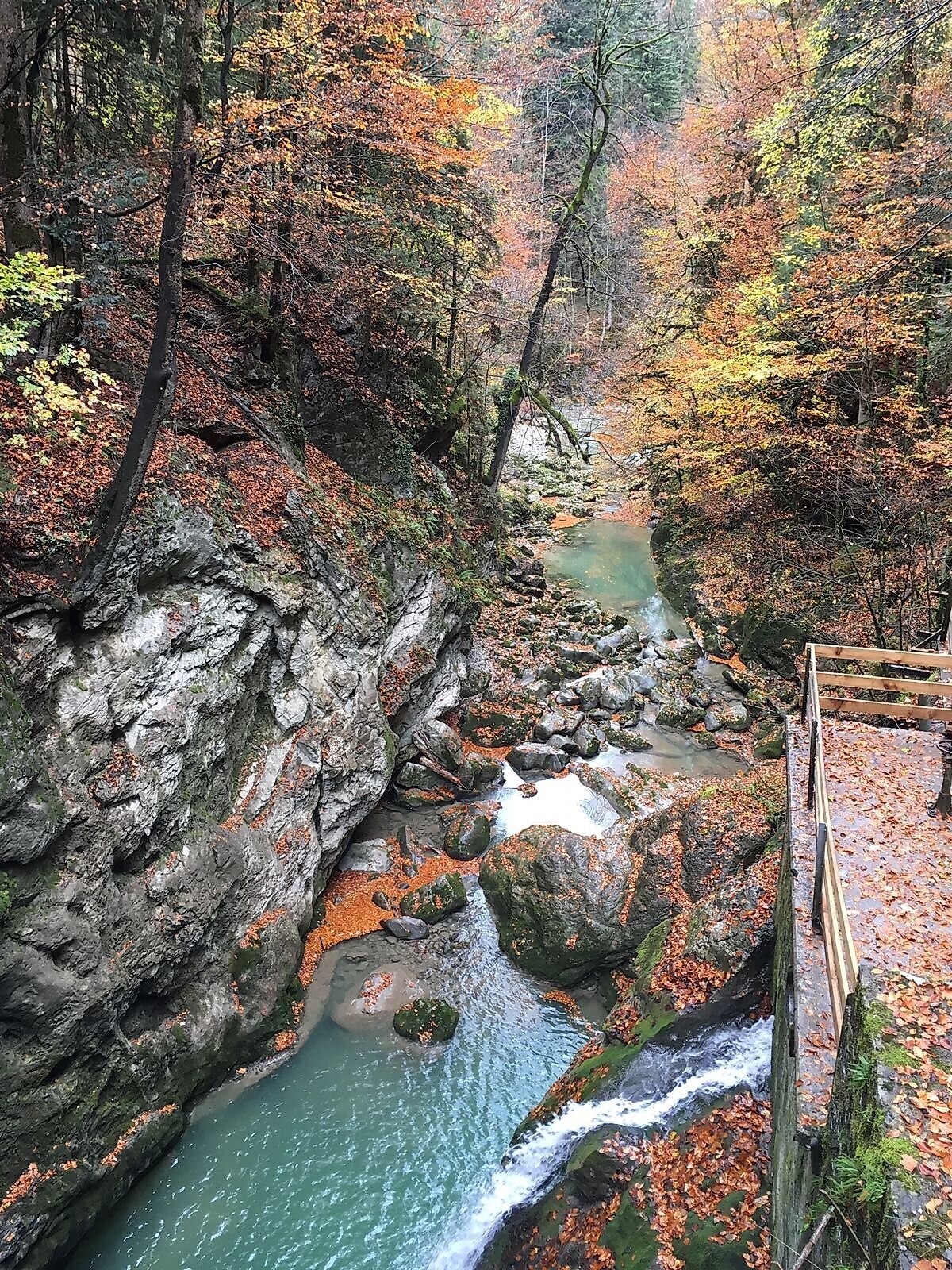
The Gütle area in Dornbirn (505 m) is an ideal starting point for exploring a natural gem. After a short walk of about 10 minutes, you’ll reach the entrance to the Rappenloch Gorge. Since a rockslide in May 2011, the old trail has been impassable. A newly constructed trail now winds its way up along the edge of the gorge and leads to a spectacular path carved into a rock face. It offers breathtaking views of the gorge and the rockslide. Folds and fossils serve as reminders of the rock’s formation in a warm, Mesozoic sea and of the subsequent force of mountain-building in the Alps. At the end of the gorge, you reach Staufensee Lake (600 m), around which there is a beautiful loop trail. The Ebensand power plant is located at the southern end of the lake. The Alploch Gorge begins immediately behind the power plant. Along the trail, you’ll see the same geological features as in the Rappenloch. A beautifully constructed wooden trail offers a wonderful gorge experience. The trail then continues uphill to Ebniter Straße, where the Schmitte bus stop (695 m) is located. From there, you can easily take the bus back to Gütle (check the bus schedule and start your hike in Gütle early enough!).
Public Transportation
Take the train to Dornbirn Station, then take bus line 177 (Landbus) to the Gütle stop.
www.vmobil.at
Parking
Gütle Parking Lot
Directions
The Gütle area in Dornbirn (505 m) is an ideal starting point for exploring a natural gem. After a short walk of about 10 minutes, you’ll reach the entrance to the Rappenloch Gorge. Since a rockslide in May 2011, the old trail has been impassable. A newly constructed path now winds upward along the edge of the gorge and leads to a spectacular trail that has been built into a rock face. It offers breathtaking views into the gorge and of the rockslide. Folds and fossils serve as a reminder of the rock’s formation in a warm, Mesozoic sea and of the subsequent force of mountain formation in the Alps. At the end of the gorge, you reach Staufensee Lake (600 m), around which there is a beautiful loop trail. At the southern end of the lake is the Ebensand power plant, which began operating as early as 1899. The run-of-river power plant generates 7 million kWh per year, draws its water from the Dornbirner Ache, and is fully automated. The two machines—one of which dates back to 1897 and remains in its original condition (except for the impeller)—can be viewed in a display room. The Alploch Gorge begins right behind the power plant. It is separated from the Rappenloch Gorge by a marl basin that contains the Staufensee. Along the trail, you can see the same geological features as in the Rappenloch. A beautifully landscaped wooden path offers a wonderful gorge experience. The hiking trail then continues uphill to Ebniter Straße, where the Schmitte bus stop (695 m) is located. From there, you can easily take the bus back to Gütle (check the bus schedule and start your hike in Gütle early enough!).
Safety Instructions
During the winter months, the Rappen and Alploch trails are closed for safety reasons. They will reopen in the spring once rock clearance work has been completed.
140 Alpine emergencies throughout
Austria 144 Alpine emergencies in Vorarlberg
122 Euro-Emergency (works with any cell phone/network)
www.vorarlberg.travel/sicherheitstipps
Additional Information
Brief Description
Rappenloch Gorge - Alploch - Schmitte (Bus Stop)
Requirements
- Condition 1 detail.requirements.value
- Experience 6 detail.requirements.value
- Landscape 6 detail.requirements.value
- Technique 2 detail.requirements.value
- Difficulty 1 detail.requirements.value
Details
- Spring
- Summer
- Fall
Location
Publisher / Copyright: Bodensee-Vorarlberg Tourismus GmbH – (c) Bodensee-Vorarlberg Tourismus GmbH / Dagmar Martinez