


Gaienhofen-Mittlere Höri Circular Hike
Description
Summary
Description
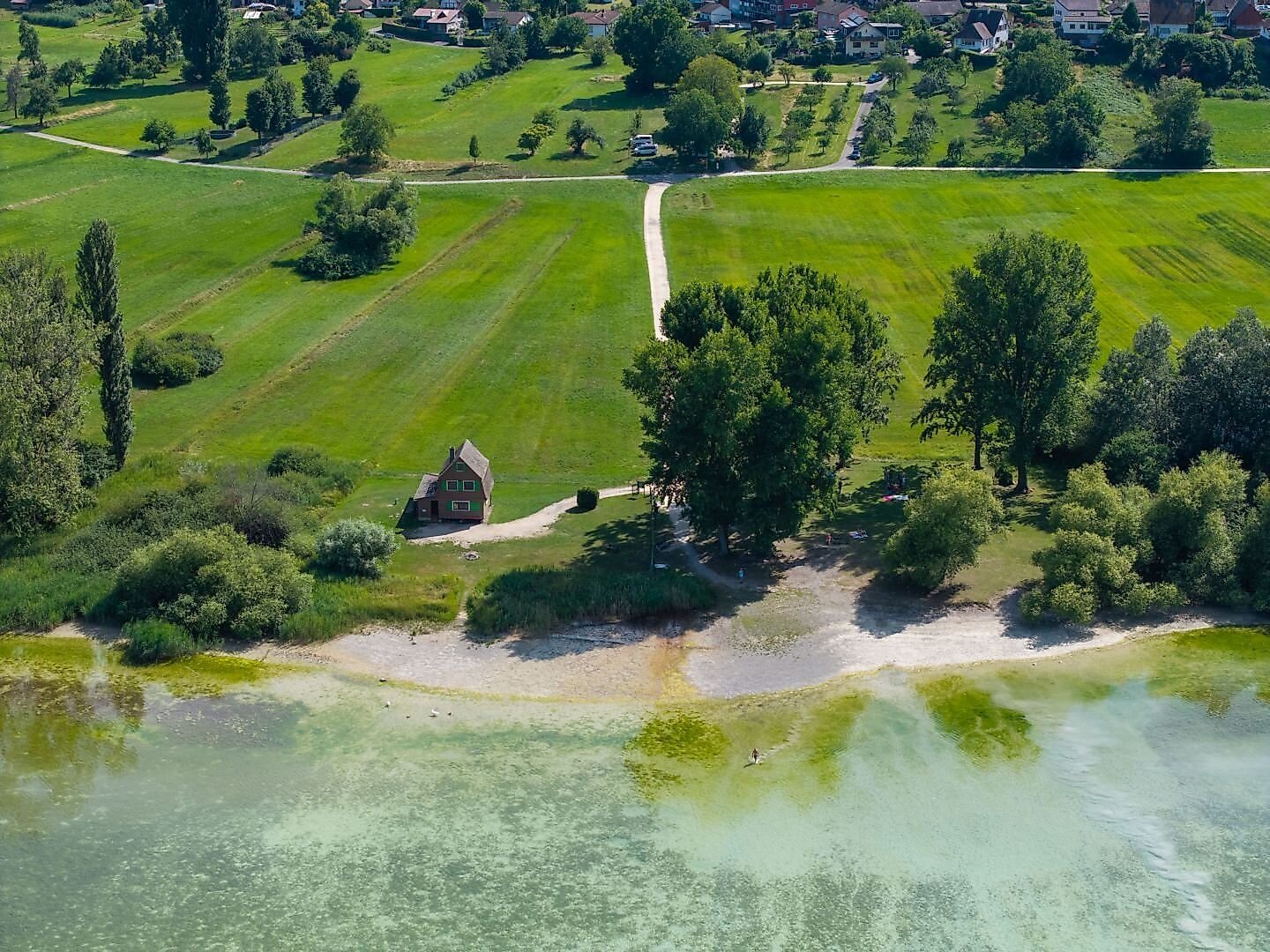
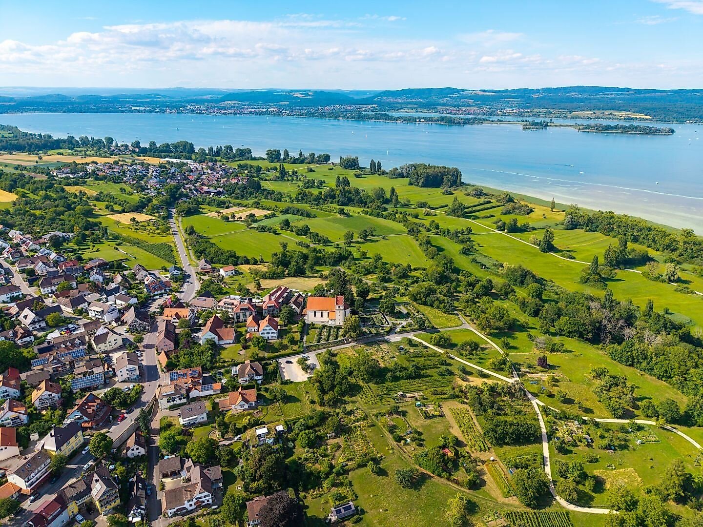
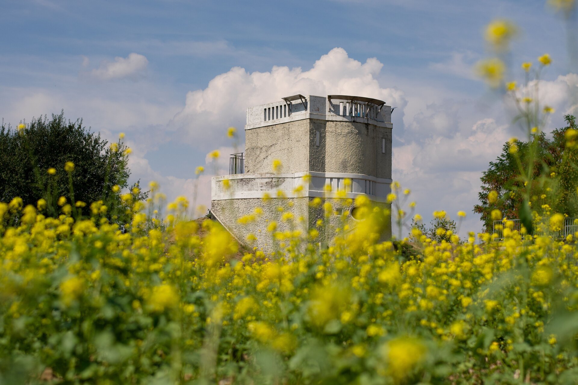
The starting point of this tour is right next to the “Gaienhofen Schloss” bus stop. The building, which was originally constructed as a bishop’s castle, now houses a large school complex (high school, middle school, and upper secondary program). The hike begins along the Erlenlohtobel ravine and offers a short detour to the Mia and Hermann Hesse House before heading uphill to a lookout point and the Honisheim and Balisheim farmsteads. Passing the Horn Water Tower and through the Gundholzen district, the trail descends to the shore of Lake Constance. The paved path leads through the nature reserve to Hornstaad, past the beach, and continues along the lakeshore back to Gaienhofen. There are various places to stop for refreshments along the way and at the end of the tour.
Gaienhofen – “Schöne Aussicht” barbecue area – Honisheim hiking parking lot – Balisheim farm – Horn water tower – Gundholzen – Hornstaad – Gaienhofen
Tip
Directions
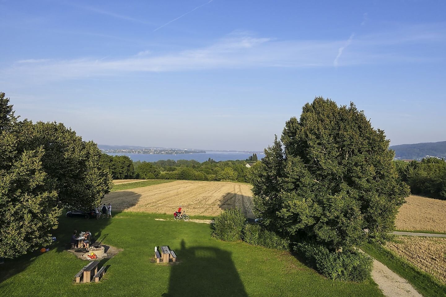
This charming loop trail begins at the bus stop for the “Schloss Gaienhofen” Protestant School on Hauptstraße. We walk up the street “Im Erlenloh.” After about 200 meters, you can take a short detour to the left to visit the Mia and Hermann Hesse House. Back on the original hiking trail—marked at this point by a green diamond on a yellow background—we follow a wide field and forest path uphill between two houses and along the Erlenlohbach stream and the Erlenlohtobel ravine. Continuing straight ahead uphill, we reach a bench under some birch trees at an intersection with a paved road. To the left, the trail leads to the Mühlbachhof. Immediately after the stone cross and a stele marking the art trail (Helmuth Macke), take a sharp right turn and hike uphill past the “Schöne Aussicht” picnic area toward the Honisheim farmstead. Shortly before the Honisheim farmstead, we turn right; passing the Honisheim hiking parking lot, we walk downhill until we turn left toward Balisheim. We pass the Balisheim farmstead on our left and follow the paved road to the right. Continuing toward Horn, we then cross the road between Weiler and Gaienhofen and immediately take the small dirt path toward the edge of the forest. The trail continues along the edge of the forest and across the fields to the Horn Water Tower. There, a lovely picnic area with seating and a superb view of the western Lake Constance—and, in good weather, all the way to the Alps—invites you to linger. From the water tower, we walk down the road toward Horn and, after about 100 meters, take the left turn toward Gundholzen. In Gundholzen, we cross the main road at the village fountain and continue downhill toward the lakeside path (Lake Constance Cycle Path). Once there, we turn right and continue back toward Horn. Upon reaching Horn, we turn left onto Hornstaaderstraße and follow it to the lakeshore. We hike along the lakeshore on a paved path, past the “Schlössli Hornstaad” and the Horn beach (Note: About 200 m past the beach, turn left onto the hiking trail—which is blocked to cyclists by a wooden gate—and is marked with a blue dot and a round arrow). At the end of this trail, continue straight ahead along the lakeshore through the nature reserve toward the Gaienhofen boat dock. From there, turn right up Schlossstraße, and you’ll arrive back at the starting point, “Gaienhofen Castle.”
Of course, the hike can also be started from any of the other neighborhoods or from the Honisheim hiking parking lot.
Destination
Equipment
Additional Information
Parking
Public Transportation
Starting Point
Walk-in months
- January
- February
- March
- April
- May
- June
- July
- August
- September
- October
- November
- December
Requirements
- Condition 4 detail.requirements.value
- Landscape 5 detail.requirements.value
- Technique 2 detail.requirements.value
- Difficulty 1 detail.requirements.value
Details
- Spring
- Summer
- Fall
- Winter