


AT · Koblach
Fork in the Road
Description
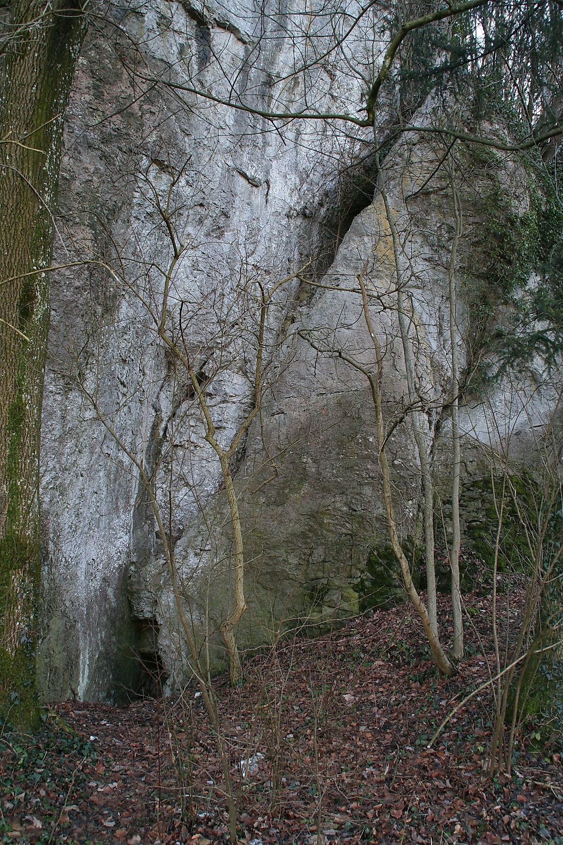
So here we are at the foot of the castle hill. Here you can see for yourself just how ideal this hill was for building a fortress. With its steeply sloping cliffs, the castle was virtually impregnable. Thanks to its central location in the heart of the Rhine Valley, the castle served as a natural barrier of great strategic importance. However, castles were always built on high ground, visible from afar, as a demonstration of power and grandeur. The castle was built in the 12th century by the Guelphs and was first mentioned in a document in 1152. The castle hill, however, had been of great importance long before that. During the Ice Age, approximately 14,000 to 17,000 years ago, the ice extended all the way to the summit of the Hohe Kugel—meaning there was ice about 900 meters above us. After the Ice Age, about 12,000 years ago, Lake Constance extended across the Kumma and Schlosswald areas all the way to Chur. The Schlosswald hill rose out of the water. As a result, people also lived on this hill during the late Neolithic and early Bronze Ages. Just above the valley floor at the northern and western foothills of the hill—also known as the Horst—pottery from the Early Bronze Age and a ball-headed pin were found in the so-called Glitzbalme and in caves, buried approximately 1.3 meters deep in the peat. On the Neuburghorst itself, excavations in 1950 and 1952 uncovered traces from the Early Bronze Age, such as post holes and beam lines. However, the prehistoric layers had been severely disturbed over large areas by medieval construction activity. If you now look north again, you will see the southern foothills of the Udelberg. This hill was once the site of the Udelberg noble estate, which was also owned by the Thumb von Neuburg family. It formed a self-contained estate complex and was not affected by the sale of Neuburg to the Habsburgs in 1363. In 1756, the Udelberg estate was demolished, with the exception of the underground wine cellar. This cellar—popularly known as the “Devil’s Cellar”—was demolished in 1971 to make way for highway construction.
Description
So here we are at the foot of the castle hill. Here you can see for yourself just how ideal this hill was for building a fortress. With its steeply sloping cliffs, the castle was virtually impregnable. Thanks to its central location in the heart of the Rhine Valley, the castle served as a natural barrier of great strategic importance. However, castles were always built on high ground, visible from afar, as a demonstration of power and grandeur. The castle was built in the 12th century by the Guelphs and was first mentioned in a document in 1152. The castle hill, however, had been of great importance long before that. During the Ice Age, approximately 14,000 to 17,000 years ago, the ice extended all the way to the summit of the Hohe Kugel—meaning there was ice about 900 meters above us. After the Ice Age, about 12,000 years ago, Lake Constance extended across the Kumma and Schlosswald areas all the way to Chur. The Schlosswald hill rose out of the water. As a result, people also lived on this hill during the late Neolithic and early Bronze Ages. Just above the valley floor at the northern and western foothills of the hill—also known as the Horst—pottery from the Early Bronze Age and a ball-headed pin were found in the so-called Glitzbalme and in caves, buried approximately 1.3 meters deep in the peat. On the Neuburghorst itself, excavations in 1950 and 1952 uncovered traces from the Early Bronze Age, such as post holes and beam lines. However, the prehistoric layers had been severely disturbed over large areas by medieval construction activity. If you now look north again, you will see the southern foothills of the Udelberg. This hill was once the site of the Udelberg noble estate, which was also owned by the Thumb von Neuburg family. It formed a self-contained estate complex and was not affected by the sale of Neuburg to the Habsburgs in 1363. In 1756, the Udelberg estate was demolished, with the exception of the underground wine cellar. This cellar—popularly known as the “Devil’s Cellar”—was demolished in 1971 to make way for highway construction.
Location
- Address
- Fork in the Road 6842 Koblach, Austria