


from Feldkirch
Feldkirch Gravel Tour
Description
Gravel Tour Around Feldkirch.
Directions
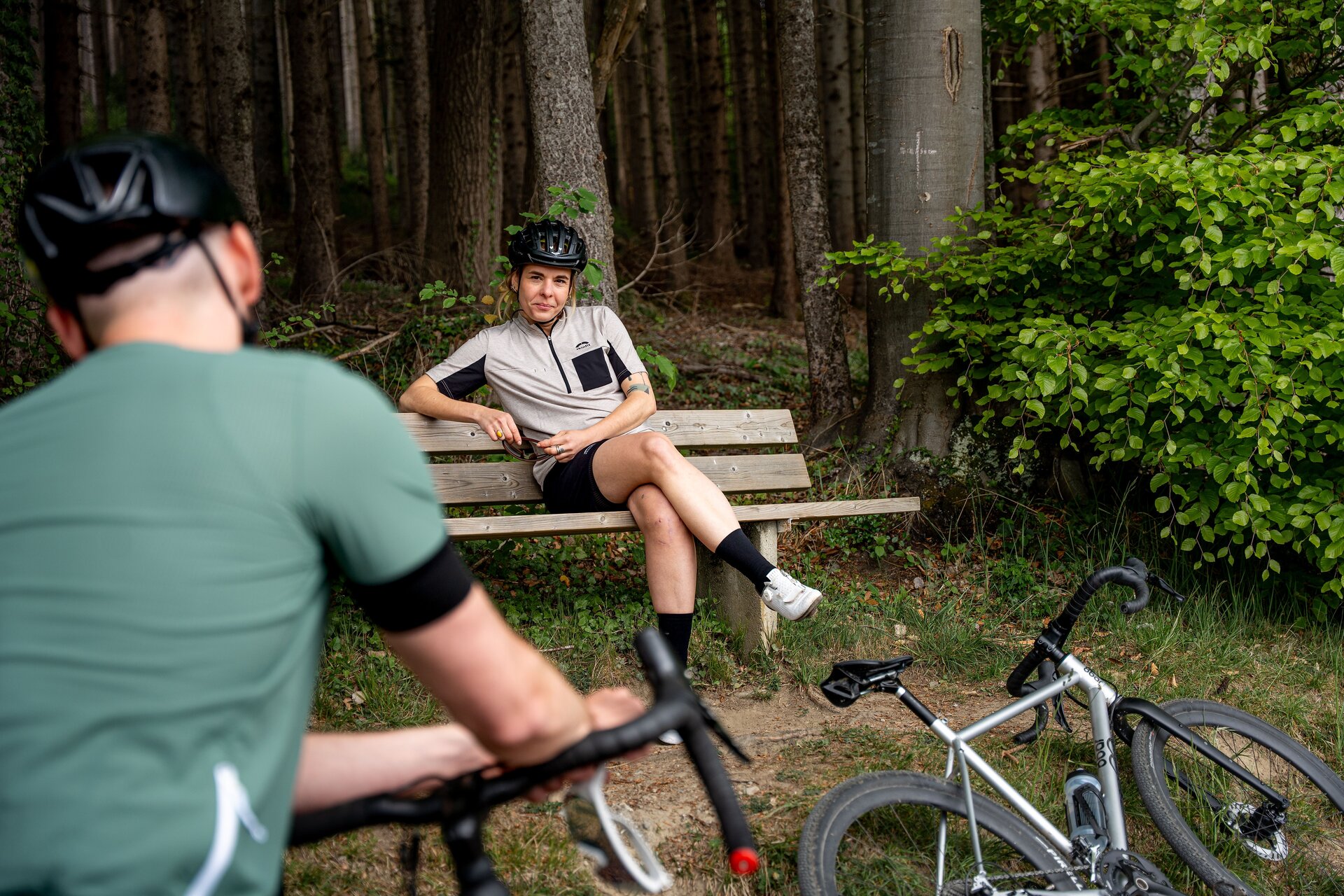
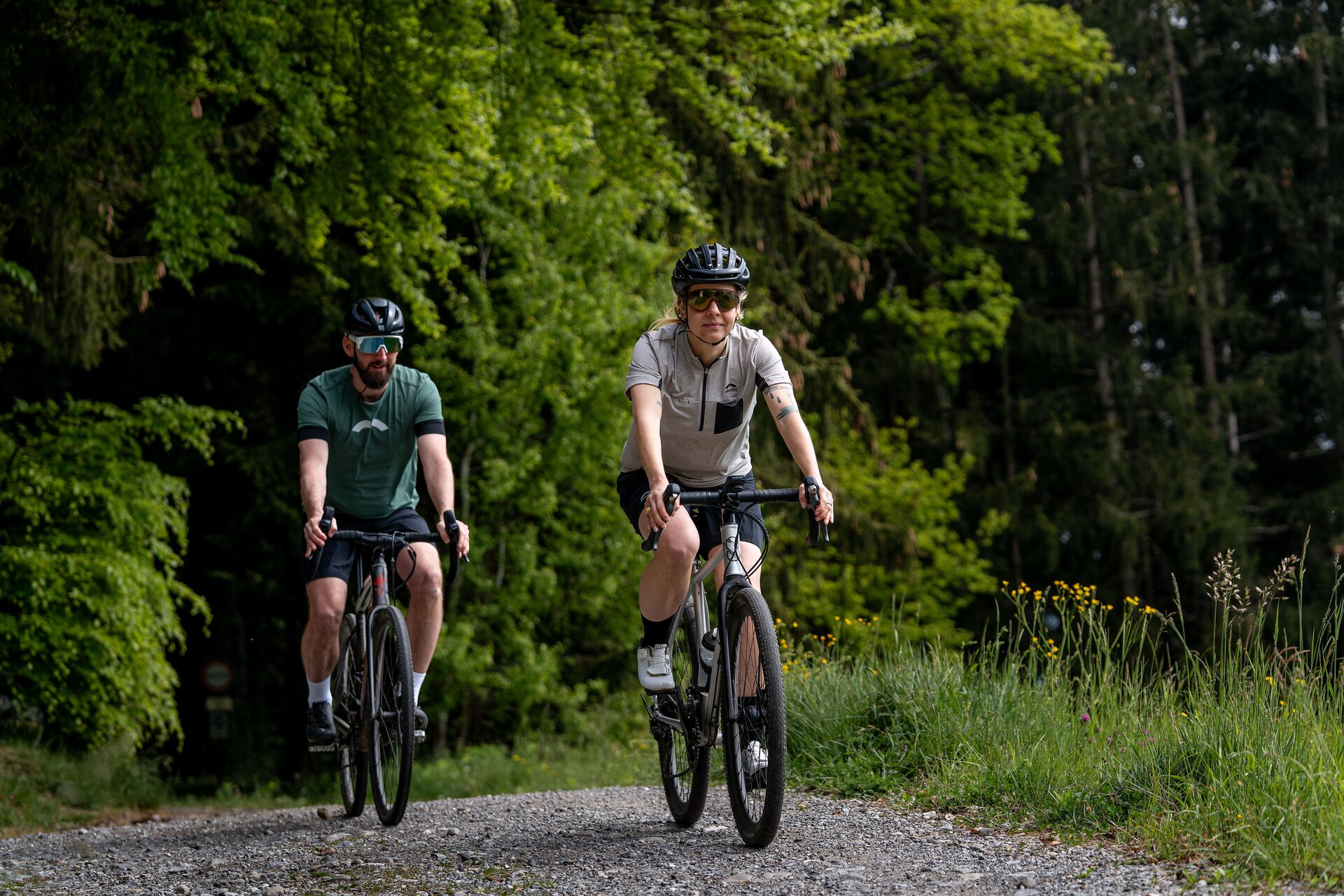
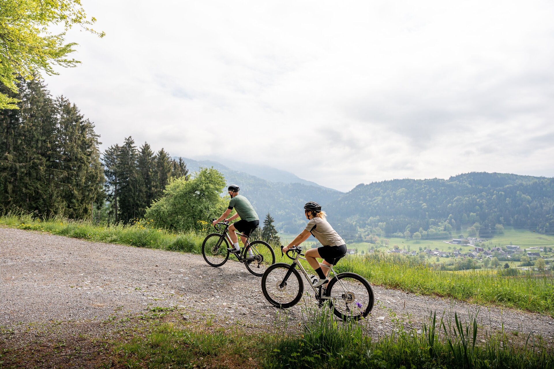
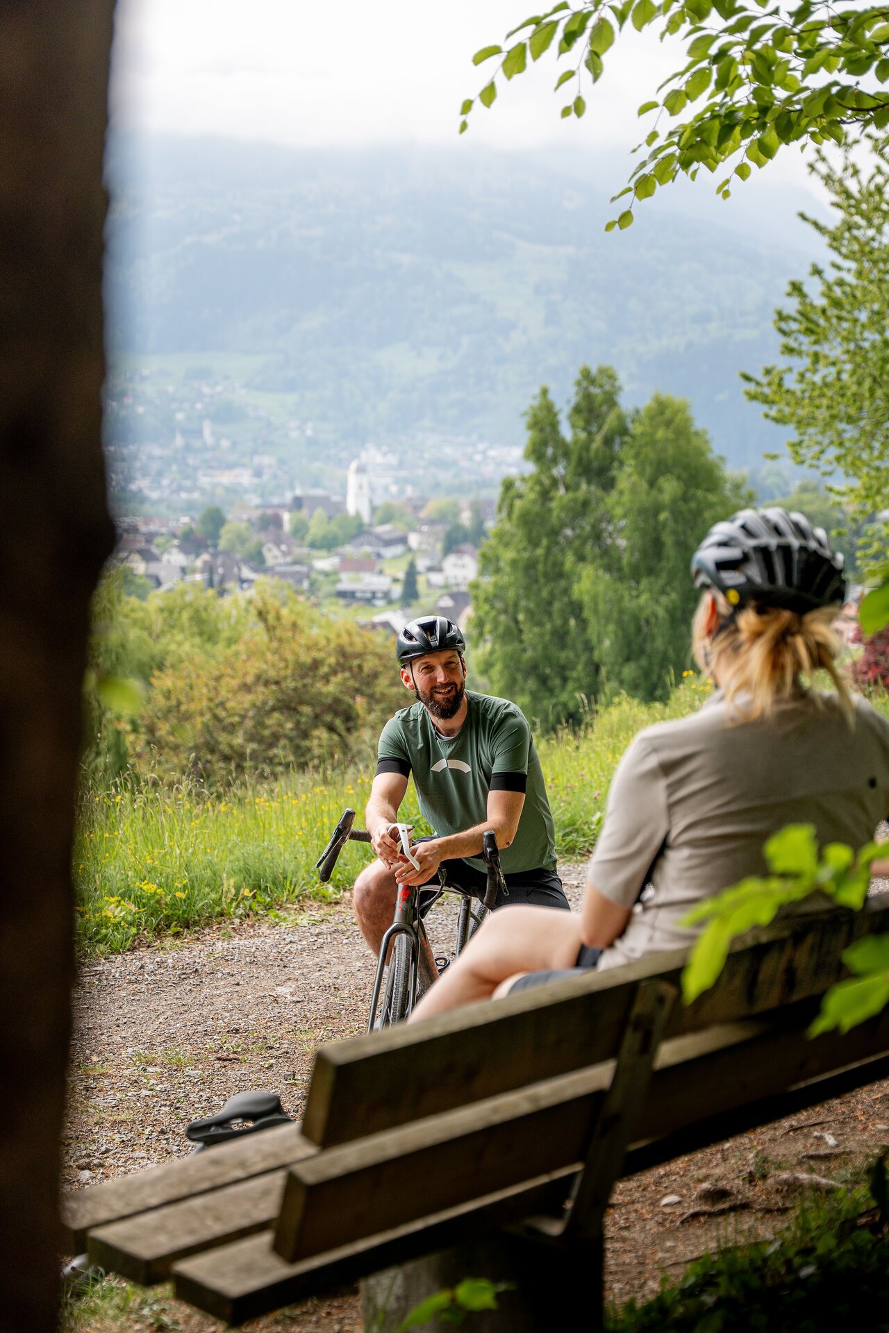
From the train station in Feldkirch, the route follows the Ill River toward the Bangs-Matschels European Nature Reserve. After about twelve kilometers, you cross over to the banks of the Frutz River and follow it to Rankweil. From there, the route climbs gently to 650 meters above sea level. The route follows the ridge of the Hoher Sattel and passes through wooded areas time and again. A brisk descent takes you to Göfis, where you’ll cycle along the Ill River once more. This brings you back to the city center of Feldkirch.
Brief Description
Feldkirch - Bangs - Meiningen - Rankweil - Göfis - Feldkirch
Requirements
- Condition 2 detail.requirements.value
- Experience 4 detail.requirements.value
- Landscape 4 detail.requirements.value
- Technique 2 detail.requirements.value
Details
Season
- Spring
- Summer
- Fall
Location
- End
-
Feldkirch Station City
Bahnhofstraße 40-42
6800 Feldkirch, Austria Read more
(c) Vorarlberg Tourismus / buero balanka OG