


Down the Rhine toward the Rhine Falls
Description
The 57-kilometer “Zum Rhine Falls” bike tour connects the Lake Constance hinterland along the Rhine with Schaffhausen and Europe’s largest waterfall. A varied tour that takes you past rolling fields, roaring waterfalls, and medieval towns.
Summary
The 57-kilometer “Zum Rhine Falls” bike tour connects the Lake Constance hinterland along the Rhine with Schaffhausen and Europe’s largest waterfall. A varied tour that takes you past rolling fields, roaring waterfalls, and medieval towns.
Description
The “RadgenussRouten” cycling routes along the western shore of Lake Constance wind through the most beautiful landscapes in the Constance district and combine nature, culture, and regional highlights. They are uniformly signposted, integrated into the cycling network, and ideal for enjoyable day trips around Lake Constance.
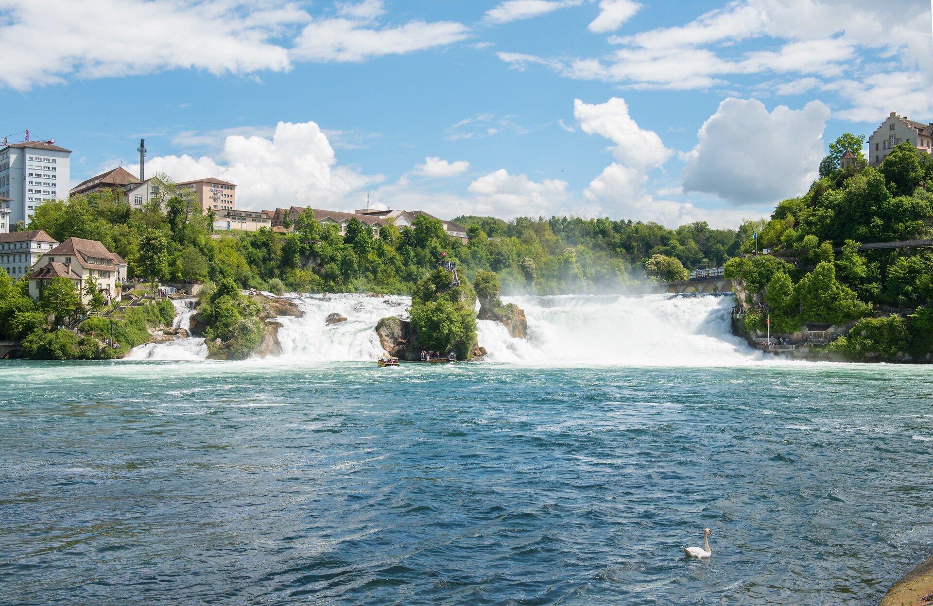
Sometimes it’s the sound that defines a place—such as the roar of water plunging with all its might into the depths. Anyone cycling the “To the Rhine Falls” loop will hear this wild roar in their ears and witness a spectacular sight—Europe’s largest waterfall.
The route connects the gentle Lake Constance hinterland—including the tranquil villages of Rielasingen, Gottmadingen, and Ramsen—with Schaffhausen along the calmly flowing Rhine. The historic old town, with its bay windows, the Munot Fortress, and the Museum zu Allerheiligen, invites you on a journey through the centuries. To the south of it, cyclists are treated to one of Europe’s most spectacular natural wonders: here, a torrent of water over 150 meters wide plunges a thunderous 23 meters into the depths—a sight that has fascinated people for generations.
Other extraordinary stops along this tour include the German municipality of Büsingen—the only enclave in Switzerland—the idyllic Paradies monastery estate, and the old covered wooden bridge between Diessenhofen and Gailingen.
Thus, in the shape of a figure-eight, a cycling route full of contrasts unfolds—between rolling fields and roaring water, between medieval towns and tranquil river floodplains. It showcases just how diverse the Rhine and its surrounding region can be experienced on two wheels.
Directions
The route forms a sort of horizontal figure-eight. The loop between Rielasingen and Gailingen, which runs mostly on the German side, is marked with the sign “Rhine Falls.” Between Gailingen and the Rhine Falls on the northern bank of the Rhine, the “Rhein Route No. 2” sign marks the path; between Schaffhausen and Diessenhofen on the southern bank of the Rhine, the route is marked with the “Seerücken Route No. 82” sign.
For example, if you start in Rielasingen-Worblingen and ride the route counterclockwise, follow the blue-and-white “Rhine Falls” symbol through Gottmadingen to Gailingen. From here, follow the signs for Rhine Route 2 (or the Rhine Cycle Route EuroVelo 15) via Büsingen, Schaffhausen, and Neuhausen to the Rhine Falls. For the return trip, take the same route back to Schaffhausen, where you’ll cross the Rhine. From here, follow the Seerücken Route to Diessenhofen. After crossing the old Rhine bridge, you’ll see the “Rhine Falls” symbol again in Gailingen. The route then leads back to Rielasingen via Hemishofen and Ramsen.
Destination
Return trip from the end point to the starting point
Follow the route signs or plan your own route using the junction network.
Equipment
A road-safe bicycle, a helmet, and a light snack. Please also bring a valid ID, as we will be crossing state lines.
Starting Point
Walk-in months
- January
- February
- March
- April
- May
- June
- July
- August
- September
- October
- November
- December
Requirements
- Condition 3 detail.requirements.value
- Experience 4 detail.requirements.value
- Landscape 4 detail.requirements.value
- Technique 2 detail.requirements.value
- Difficulty 1 detail.requirements.value
Details
- Spring
- Summer
- Fall
- Winter
Location
Publisher / Copyright: Westlicher Bodensee – CC BY-SA 4.0 Westlicher Bodensee