


Bike Tour for Everyone: The Apple Loop
Description
An easy bike ride for everyone on mostly flat, well-maintained bike paths between apple orchards and the shores of Lake Constance—ideal for beginners, hand bikes, and relaxed half-day rides.
Summary
An easy bike ride for everyone on mostly flat, well-maintained bike paths between apple orchards and the shores of Lake Constance—ideal for beginners, hand bikes, and relaxed half-day rides.
Description
The tour was designed, among other things, for people with hand bikes and other specialized bicycles, as well as for families. It begins at the Mobility Point in Bodman. From there, the route follows well-maintained bike paths alongside the first apple orchards, initially heading toward Stahringen. As you pass fields and meadows, sweeping views of the surrounding countryside open up time and again.
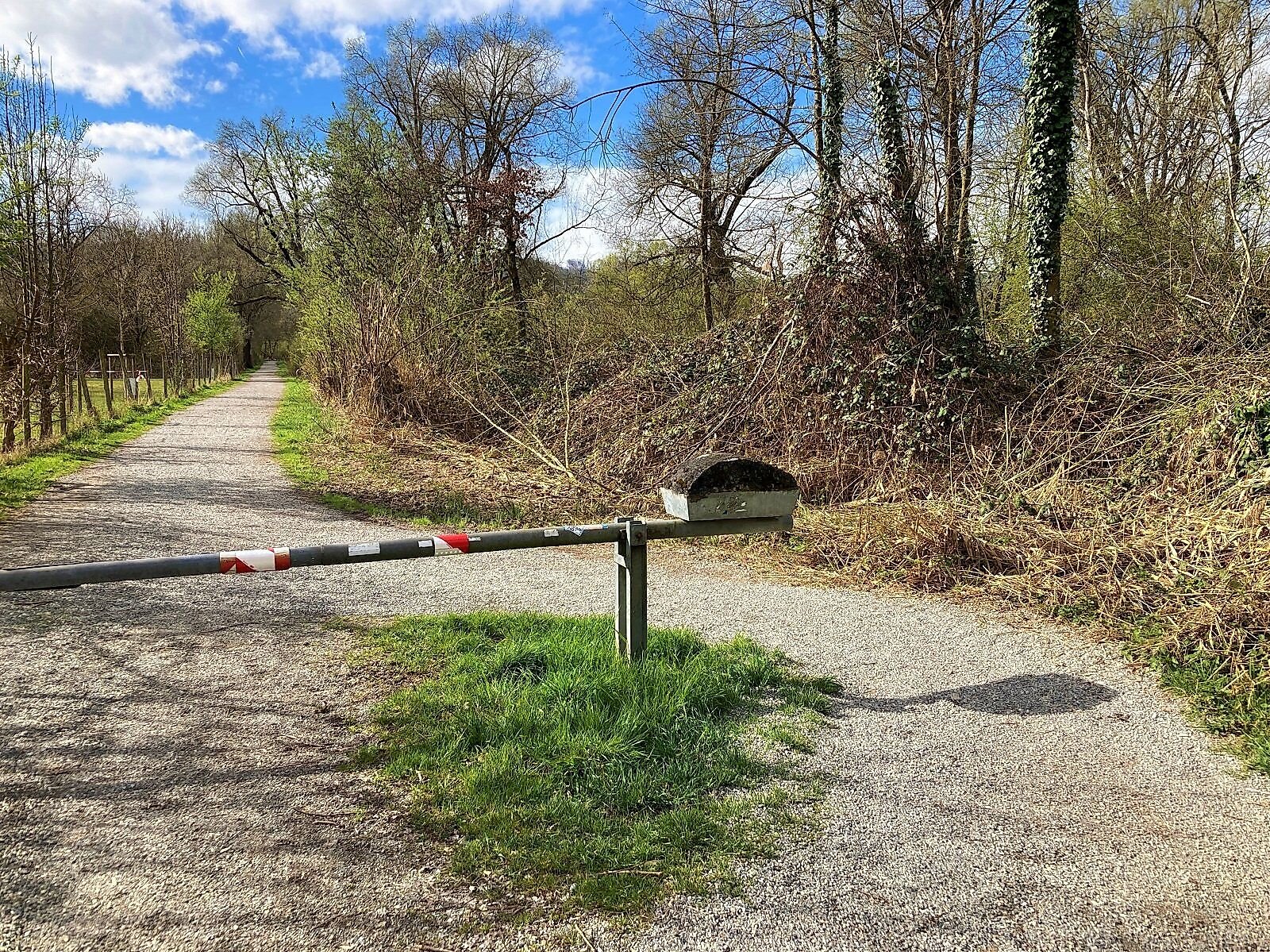
Shortly after Stahringen, you’ll reach the airfield. Ideally, you can take the relatively flat path to the right, past the gate. When flights are in operation, the gate is closed, and you must follow the signposted bike path. This path includes a short descent with a gradient of up to 18 percent over a distance of 15 meters. Upon request, the airfield team may allow you to use the flat section even when flights are in operation.
The tour continues until just before Wahlwies. There, the route turns onto a country road that you must follow for about 250 meters. This section is outside built-up areas and requires extra caution. The route then turns onto a farm road that once again runs directly alongside apple orchards, offering idyllic views of the fruit groves.
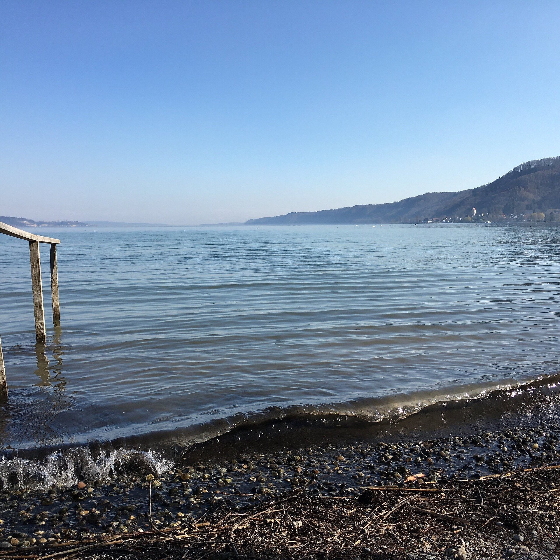
In Espasingen, you’ll need to navigate an unguarded road crossing. Afterward, the route continues on well-maintained bike paths all the way to Ludwigshafen. Along the way, you’ll enjoy magnificent views of the Lake Constance landscape around Lake Überlingen.
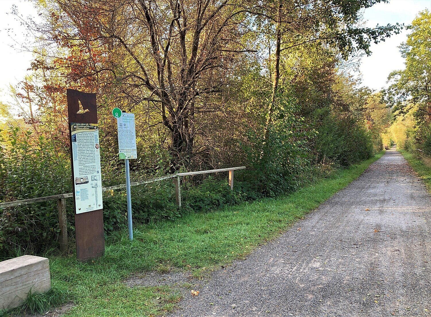
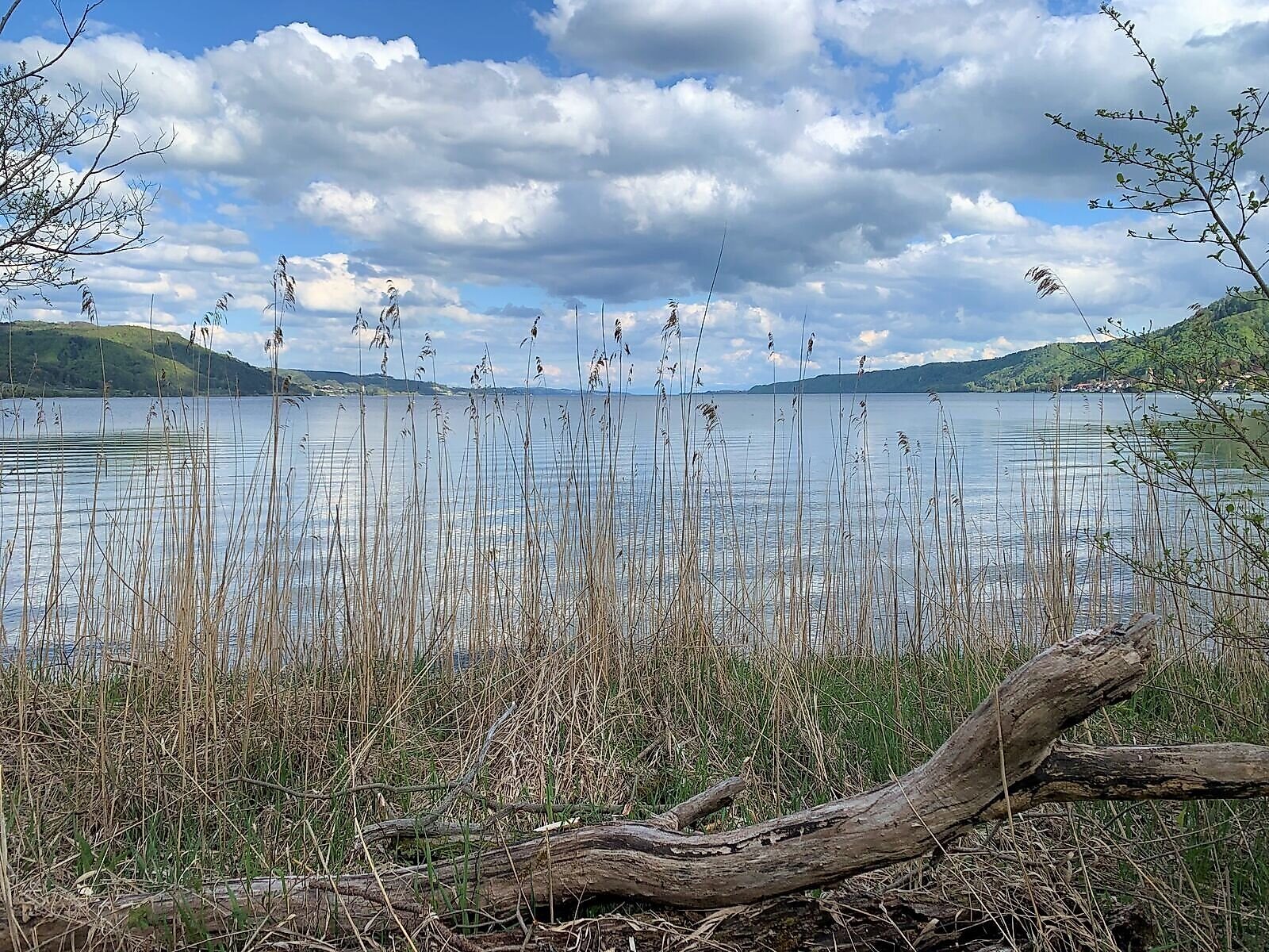
The return to Bodman takes you through the Stockacher Aachried, a nature reserve covering approximately 130 hectares. Along the bike path, species-rich hay meadows, remnants of primeval riparian forest, and dense reed beds alternate, complemented by the flat shorelines of Lake Überlingen. Numerous birds, such as little grebes, kingfishers, nightingales, and reed warblers, find shelter and habitat here. Since 2017, ten informational signs along the approximately four-kilometer-long trail have provided information about the local flora and fauna. The route offers impressive views of the lake and is easy to ride.
Once you’ve completed the loop and returned to Bodman, it’s worth visiting the local restaurants or cafés—or taking a detour to the lakeside park.
Tip
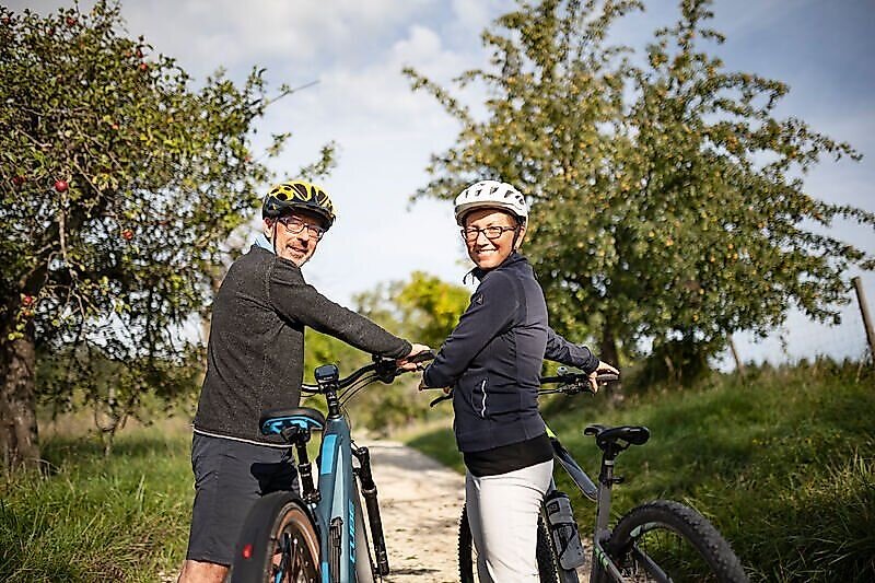
Hi, we’re Marguerite, Ralf, Samu, and Janne from Wahlwies. On sunny weekends, we love to hop on our bikes and explore the region—the Apple Loop is our absolute favorite route for a trip to Lake Constance. In the spring, blooming orchards line the path, the kids love the great playgrounds along the way, and there’s always something exciting to see at the Stahringen airfield when planes are taking off and landing. A refreshing ice cream stop rounds out the experience perfectly. We highly recommend the Apple Loop to anyone who wants to combine nature, adventure, and enjoyment!
Directions
The route follows the signposted network of junctions. Junctions: 69 – 24 – 67 – 73 – 70 – 71 – 70 – 68 – follow signs toward 69 to the Mobility Point.
The route is paved almost entirely or runs on a solid, water-bound surface. It is mostly flat, with only a few short climbs with a maximum gradient of 10 percent interrupting the easy course, apart from the steep section at the airfield.
Shortcut:
If you’d like to shorten the route or avoid the hazardous sections (steep incline at the Stahringen airfield, riding on the country road before Wahlwies, and the road crossing in Espasingen), you can cycle from Ludwigshafen via Bodman to Stahringen and then take the train back to the starting point from there. The route begins and ends at a train stop, so you can also arrive and depart by train.
- Starting point: Ludwigshafen on Lake Constance train station
- Destination: Stahringen Train Station
- Route: Ludwigshafen – Bodman – Stahringen
- Junction signage: 71 – 70 – 68 – 69 – 24 – 23
- Distance: approx. 11 km
- Duration: approx. 1 h
- Elevation gain: 60 m
- Elevation loss: 20 m
Destination
Return trip from the end point to the starting point
This is a loop route; if you follow the route or the waypoints along the way, you’ll automatically return to the starting point.
If you’d like to shorten the tour, you can cycle from Ludwigshafen via Bodman to Stahringen and take the train back to the starting point from there.
Additional Information
Public restrooms for people with disabilities:
- Stahringen Train Station
- Bodman, at Seeum (Seestraße 5, 78351 Bodman-Ludwigshafen)
- Bodman at the “Mobility Point” (Kaiserpfalzstraße 6, 78351 Bodman-Ludwigshafen)
Parking
There are designated accessible parking spaces in front of the Mobility Point. There is also a restroom for everyone.
Safety Notice
Surface: Primarily asphalt or water-bound pavement
Longitudinal gradients:
- Shorter gradients up to 10%
- Grade at the Stahringen airfield (18% over 15 m; however, can be bypassed when the gate is open)
Obstacles: Barrier along the route, easily bypassable
Hazardous sections:
- Before Wahlwies, the route turns onto a country road that must be traveled for about 250 meters
- In Espasingen, there is an unprotected road crossing to navigate
The hazards listed can be avoided by planning the bike tour as a point-to-point route between the Ludwigshafen and Stahringen train stations; see the route description.
Photos showing the trail conditions, gradients, and infrastructure are available in the Komoot listing for the tour.
Walk-in months
- January
- February
- March
- April
- May
- June
- July
- August
- September
- October
- November
- December
Requirements
- Condition 2 detail.requirements.value
- Experience 4 detail.requirements.value
- Landscape 4 detail.requirements.value
- Technique 2 detail.requirements.value
Details
- Spring
- Summer
- Fall
- Winter
Location
Publisher / Copyright: Westlicher Bodensee – CC BY-SA 4.0 Westlicher Bodensee