


Alpine Hike: Dornbirn Karren – Staufenspitze
Description
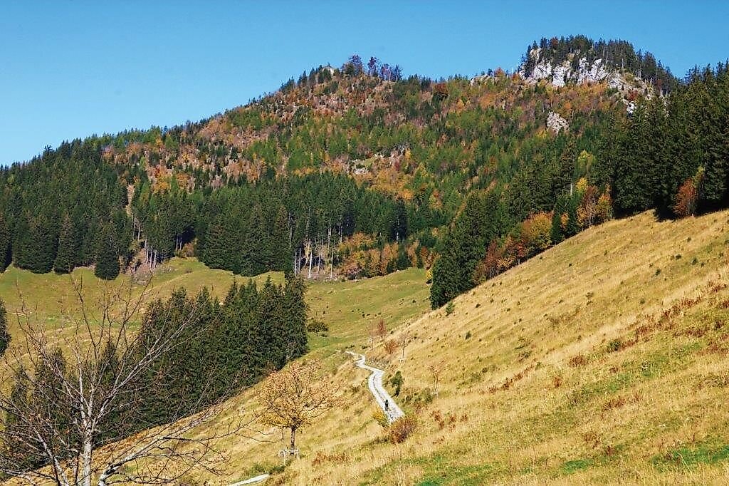
From the mountain station at Karren, you can hike via Kühberg to the Staufenalpe on the eastern side of the Staufenspitze. From there, an alpine trail (steep path!) leads up to the Staufenspitze, where you can enjoy a magnificent panoramic view of the Swiss mountains, the Rhine Valley, and Lake Constance. The descent follows the western ridge of the Staufenspitze and then joins the mountain trail that leads from Schuttannen to Karren.
Description
From the mountain station at Karren, you can hike via Kühberg to the Staufenalpe on the eastern side of the Staufenspitze. From there, an alpine trail (steep path!) leads up to the Staufenspitze, where you can enjoy a magnificent panoramic view of the Swiss mountains, the Rhine Valley, and Lake Constance. The descent follows the western ridge of the Staufenspitze and then joins the mountain trail that leads from Schuttannen to Karren.
Public Transportation
Karren cable car stop, City Bus 8, Regional Bus 47
www.vmobil.at
Safety Instructions
140 Alpine Emergencies Across Austria
144 Alpine emergencies in Vorarlberg
112 European emergency number (works with any cell phone/network)
www.vorarlberg.travel/sicherheitstipps
Requirements
- Condition 5 detail.requirements.value
- Experience 5 detail.requirements.value
- Landscape 5 detail.requirements.value
- Technique 5 detail.requirements.value
- Difficulty 3 detail.requirements.value
Details
- Spring
- Summer
- Fall
Location
Publisher / Copyright: Bodensee-Vorarlberg Tourismus GmbH – (c) Bodensee-Vorarlberg Tourismus GmbH / Dagmar Martinez