


About the Höri Peninsula
Description
With the “in Häppchen” tour option, you can stop at gourmet spots along the way as you please. Farmers’ markets, kiosks, shops, farm stands, restaurants, and cafés offer small regional delicacies from the peninsula to take away or enjoy at the most beautiful spots on the “Höri.” The tour is 28 km long and can be modified, shortened, reversed, or extended as you wish; the starting point is also flexible. The tour is not signposted; please follow the directions provided.


Summary
With the “in Häppchen” tour option, you can stop at gourmet spots along the way as you please. Farmers’ markets, kiosks, shops, farm stands, restaurants, and cafés offer small regional delicacies from the peninsula to take away or enjoy at the most beautiful spots on the “Höri.” The tour is 28 km long and can be modified, shortened, reversed, or extended as you wish; the starting point is also flexible. The tour is not signposted; please follow the directions provided.
Description
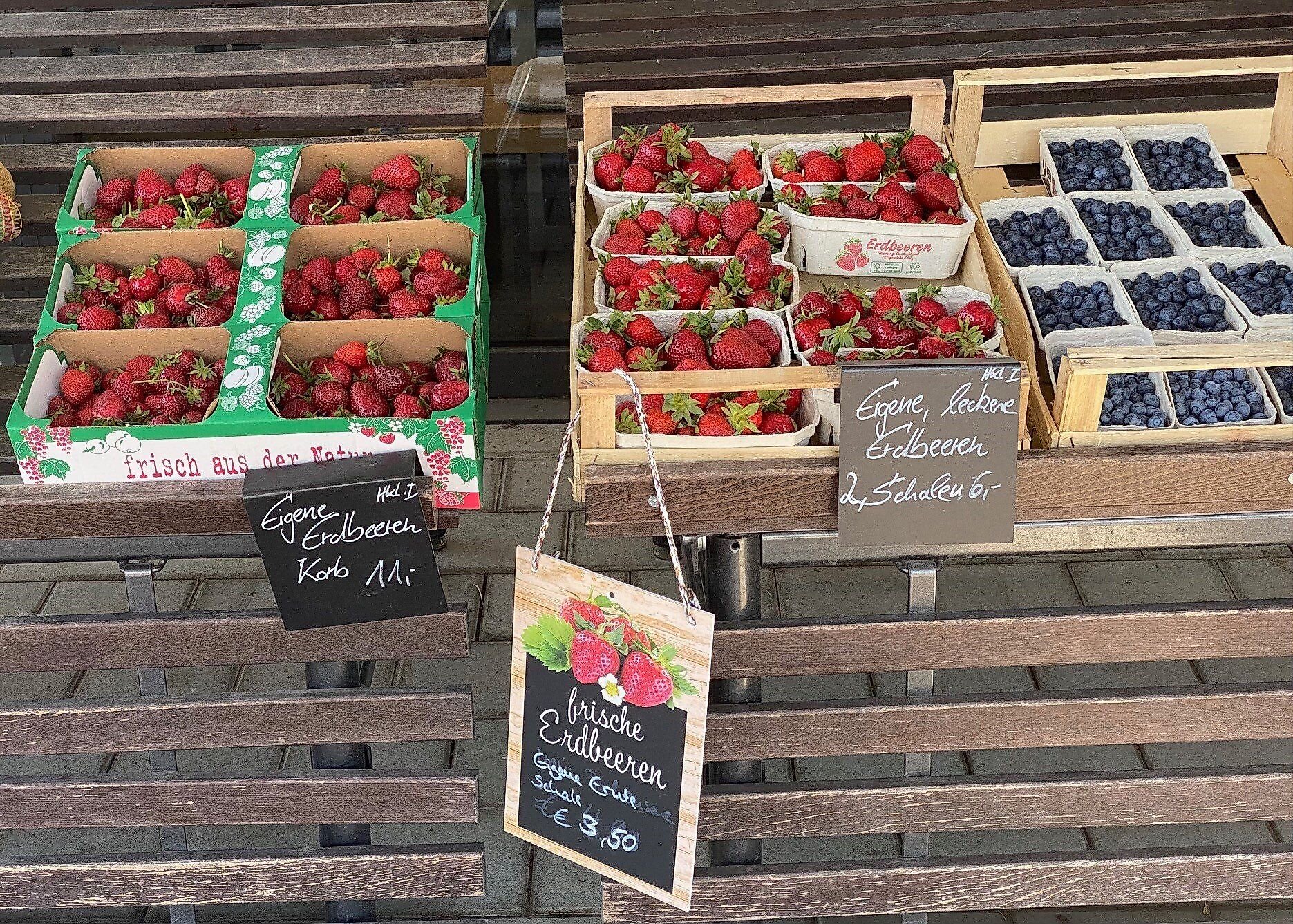
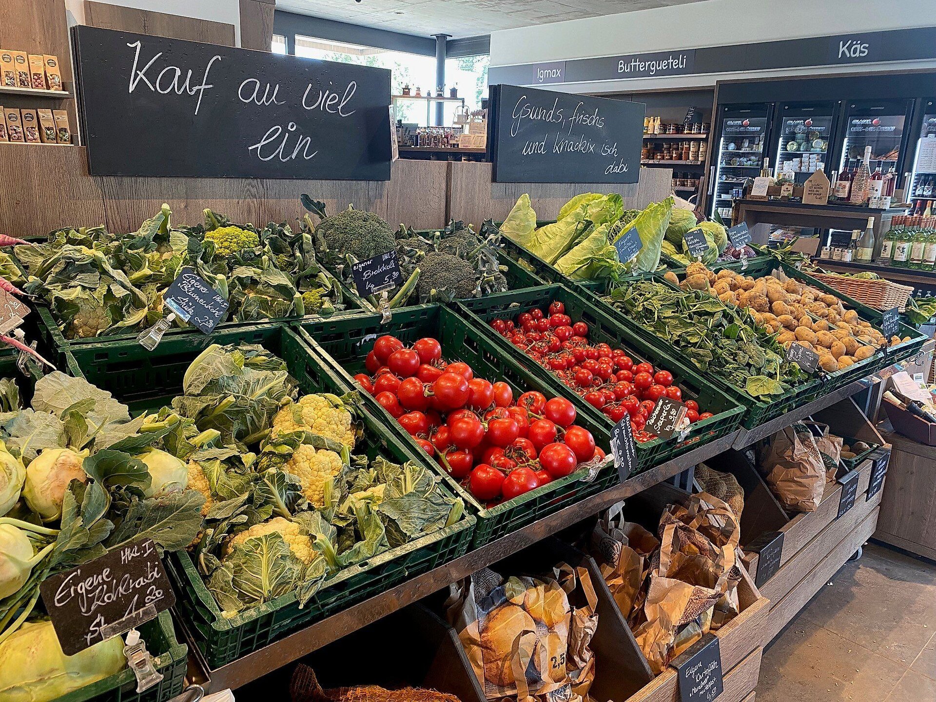
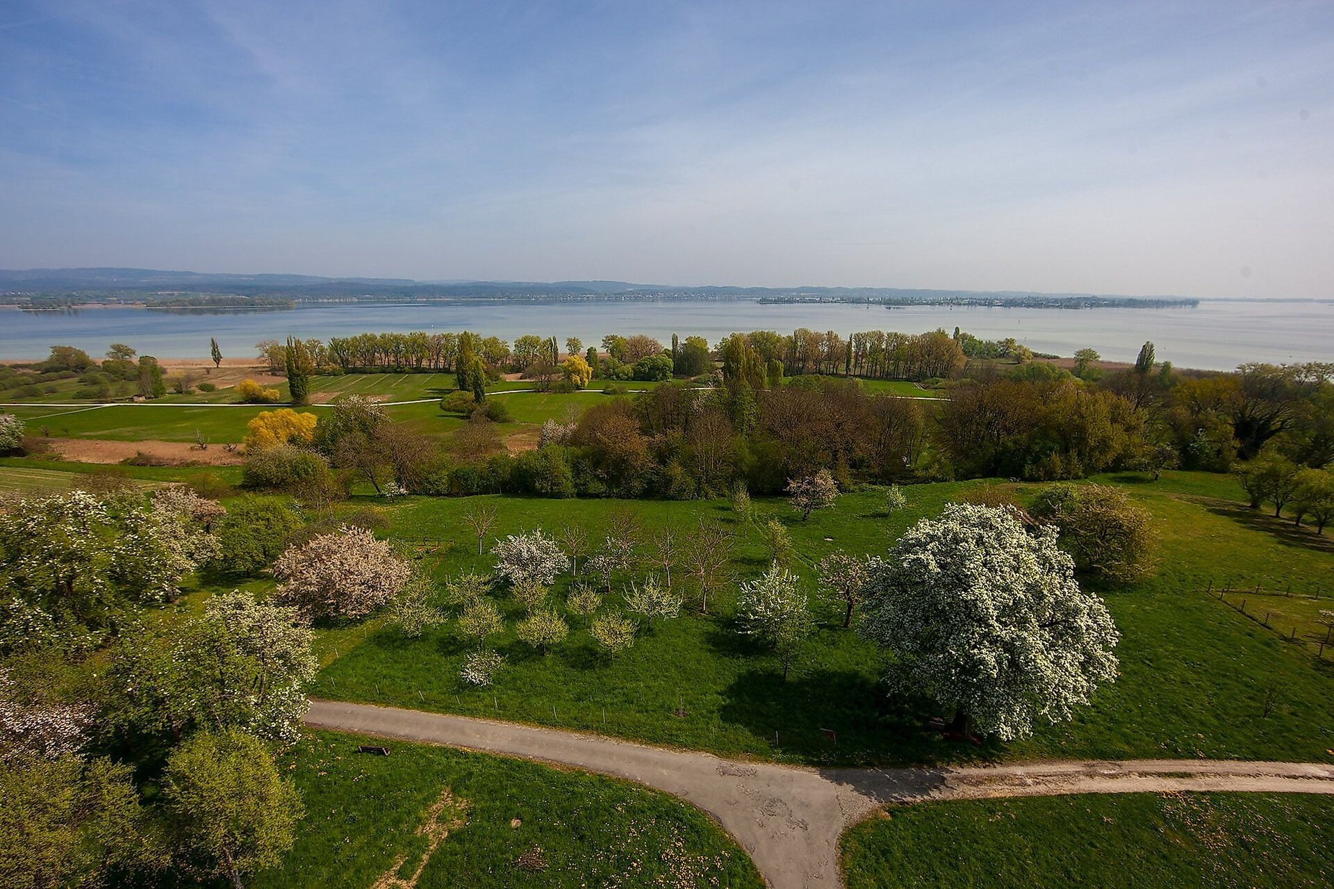
Höri vegetables have a centuries-old tradition, with the “Höri-Bülle” being the best known. This light reddish-brown onion grows only on the Höri and is protected as a specialty throughout Europe. Even today, Höri farmers sell their produce at roadside stands, markets, farm stands, and stores. The restaurants on the Höri also primarily use regional and seasonal products. These delicacies are the highlight of the Höri Culinary Bike Tour. The bike tour winds through the enchanting landscape of the Höri Peninsula, past orchards and vegetable fields, along beautiful stretches of shore, through nature and landscape conservation areas, as well as through some woods and several idyllic Höri villages. Free parking is available at the Moos Town Hall/Tourist Information Office, the Horn Campground, and the Höri-Halle in Gaienhofen, making these locations ideal starting points.
Tip
If you need to rent bicycles, a good place to start is at Velo Martin in Horn or at Elektro Rad Zimmermann in Weiler.
You can start the tour from any point you like. Free parking is available at the Moos Town Hall/Tourist Information Office, the Horn campground, or the Höri-Halle in Gaienhofen, making these excellent starting points.
Depending on the season, other roadside stands or those set up in driveways offer their produce, including strawberries, cherries, plums, and apples.
Directions
The route is NOT signposted; please follow the directions. Start at the free parking lot at the Moos Tourist Information Office/Town Hall. After 50 meters toward the town center, turn right onto Mühlestraße to join the bike path toward Bankholzen. As soon as you reach County Road K6160, turn left and ride through Bankholzen. The country inn “Zum Sternen” is a great place to stop for lunch before you set off on the next 11-kilometer stretch of the route, which has no places to stop for refreshments. At the town’s edge (near the cemetery), turn right toward Bettnang. Just before Bettnang, take the right-hand uphill road and follow the road to the left to bypass the town. Ride straight ahead for about 1 km, passing the hamlet of Weiler above the village, then take the left fork on the dirt road and meet the K6162 at the stone cross. On the well-maintained bike path running parallel to the county road, ride to the right toward Gaienhofen. After the climb through the forest, cycle to the right toward Balisheim and turn left at the “Balisheim Wegekreuz” toward Honisheim/Gaienhofen/Hemmenhofen. Please keep to the right and follow the yellow diamond marker up a gentle incline to the forest. Continue straight through the forest on a steady climb toward Honisheim. After passing the hiking parking lot on your left, you’ll see Hof Honisheim on your right. However, turn left onto the paved farm road. After a short stretch straight ahead, follow the right-hand curve until you turn left at the bench. The trail winds downhill along a stretch of forest until a magnificent view of the lake opens up before you. You’ll come to a fork in the trail; turn right at the “Wangen” sign and follow the incline to the edge of the forest. There you’ll see a small picnic area, where you’ll follow the “Panoramaweg” signs to the left toward Wangen. First, the trail goes through the woods for a short while; then the Panoramaweg leads you to Wangen with great views. The route continues downhill through the sunken path to the road leading to Schienerberg. This road takes you to the main street, where you turn right and then immediately left onto “Zur Lände,” heading toward the Residenz Seeterrasse. The return trip takes you along the lakeside path to the Wangen campground, where you can refresh yourself with a cool drink at the “Höri-Bistro” and take a dip in the lake. The tour continues along the bike path from the campground to the main road. After a short climb, you’ll see the Blanhof and the Hangarter stand on your left. To visit the farm stands, please use the underpass. The return trip to Moos follows mostly the signposted Lake Constance Bike Path. Right on the main street in Hemmenhofen, Lempp’s stand offers fresh baked goods, fruit, and farm-fresh ice cream. Two stops with magnificent lake views are well worth a detour: the daytime café/bistro “s’Plätzle am See 2.0” on Uferstraße in Hemmenhofen and, in Gaienhofen, the “Heimathafen” kiosk at the landing stage on Schlossstraße. No sooner are you back in the saddle than the next culinary highlight beckons. The restaurant “Seehörnle,” located directly on the Lake Constance Bike Path at the edge of Horn, offers small delicacies from a food truck on its shaded garden terrace. After another six idyllic kilometers of cycling through the nature reserve, you can fill your empty panniers with regional vegetables, fruit, and souvenirs from Glaser’s farm stand and Fürst’s vegetable stand at the entrance to Iznang. Once you reach Moos via the bike path, turn left at the harbor to reach the main street; after a detour to the Duventäster-Maier farm store, head back to the starting point. Between the harbor and the parking lot, you can round out the tour with a visit to the “Schiff” or “Grüner Baum” and enjoy the fish specialties they offer.
Destination
Parking
Parking lot at Moos City Hall
Safety Notice
The tour follows the Lake Constance Bike Path for the most part, and inland, it takes you along side roads, bike paths, dirt roads, and, on rare occasions, forest trails.
Starting Point
Walk-in months
- April
- May
- June
- July
- August
- September
- October
Requirements
- Condition 3 detail.requirements.value
- Experience 5 detail.requirements.value
- Landscape 5 detail.requirements.value
- Difficulty 1 detail.requirements.value
Details
- Spring
- Summer
- Fall
Location
Publisher / Copyright: Tourist-Information Gaienhofen – CC BY-SA 4.0 Tourist-Information Gaienhofen